Home
Daily cycle data
Combined week
Combined month
Combined year
Daily cycle: extra plots
GPS Files
Github page of the project
Admin
Select a different time period for GPS data:
Start:
End:
Use date:
Only plot in shown area:
Zoom:
Cenlat:
Cenlng:
Replot
0
10
20
30
40
50
60
70
−1
−0.5
0
0.5
1
0
10
20
30
40
SRTM Elevation [m]
Elevation [m]
Speed (5 points)
Speed (50 points)
Cumlative Speed
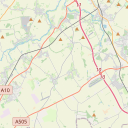
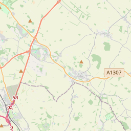
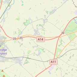
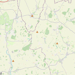
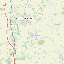
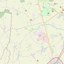
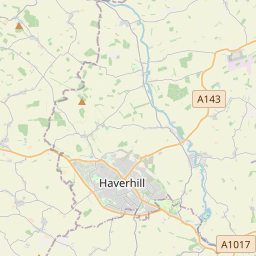
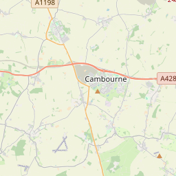
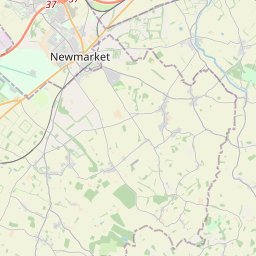
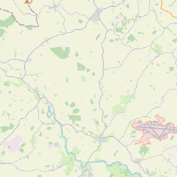
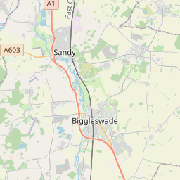
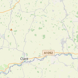
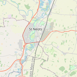
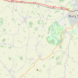
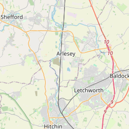
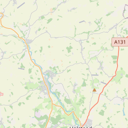
2024-06-23 09:05:18 to 2024-06-23 13:28:27 : 71.38 km, 3:23:29 moving, 21.05 km/h, 0 m up, 0 m down, SRTM: 0 m up, 0 m down
Distance [km]
Elevation [m]
Speed [km/h]
08:05
08:07
08:09
08:12
08:14
08:16
08:21
08:23
08:25
08:28
08:30
08:32
08:35
08:37
08:39
08:42
08:44
08:46
08:49
08:51
08:53
08:55
08:58
09:00
09:02
09:05
09:07
09:15
09:17
09:19
09:21
09:24
09:26
09:28
09:31
09:33
09:35
09:38
09:40
09:42
09:44
09:47
09:49
09:51
09:54
09:56
09:58
10:01
10:03
10:05
10:07
10:10
10:13
10:15
10:17
10:20
10:22
10:24
10:27
11:09
11:12
11:14
11:16
11:19
11:21
11:23
11:26
11:28
11:30
11:32
11:35
11:37
11:39
11:42
11:44
11:46
11:49
11:51
11:53
11:56
11:58
12:01
12:03
12:05
12:08
12:10
12:13
12:15
12:17
12:20
12:22
12:24
12:26
Tye Green Wimbish
West Wratling
Bartlow
Six Mile Bottom
Ashdon
Radwinter
Great Wilbraham
Ickleton
Fulbourn
Catmere End
Little Shelford
Little Shelford
Great Shelford
Duxford
Saffron Walden
Saffron Walden
Saffron Walden
Saffron Walden
plotly-logomark
+
−
OpenStreetMap
SRTM 0m to 255m
SRTM 0m to 1023m
SRTM 0m to 2047m
SRTM 0m to 4095m
SRTM 1024m to 3071m
SRTM 2048m to 4095m
Leaflet
| ©
OpenStreetMap
contributors
Distanc - Duration - Speed
Start
End
71.38 km - 3:23:29 - 21.05 km/h
June 23, 2024, 8:49 a.m.
June 23, 2024, 1:28 p.m.