Dec. 23, 2024
Number of Days/Trips: 1 Distance: 91.38 Time: 3:55:35 Speed: 23.2733
| Distanc - Duration - Speed | Start | End |
|---|---|---|
| 44.82 km - 2:07:45 - 21.05 km/h | Dec. 29, 2024, 8:58 a.m. | Dec. 29, 2024, 12:02 p.m. |
| Name | Description | Thumbnail |
|---|---|---|
| IMG_20250602_075846346_HDR.jpg | Poppy Field | 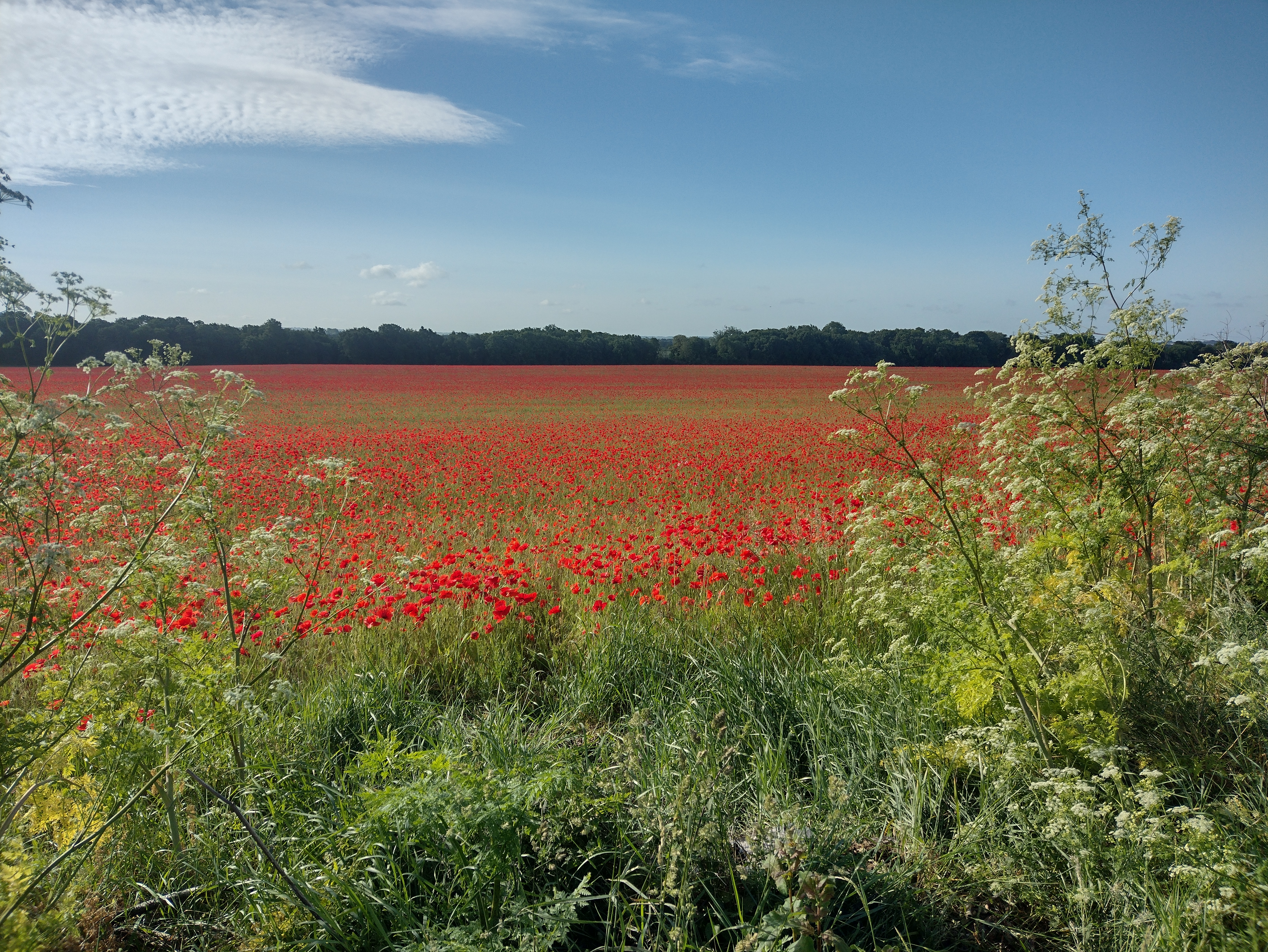 |