Aug. 1, 2017
Number of Days/Trips: 20 Distance: 435.54 Time: 17:48:53 Speed: 24.4483
| Distanc - Duration - Speed | Start | End |
|---|---|---|
| 7.77 km - 0:50:02 - 9.31 km/h | Aug. 1, 2017, 10:29 a.m. | Aug. 1, 2017, 2:16 p.m. |
| 30.91 km - 1:43:52 - 17.86 km/h | Aug. 13, 2017, 10:12 a.m. | Aug. 13, 2017, 12:34 p.m. |
| 17.76 km - 3:56:14 - 4.51 km/h | Aug. 26, 2017, 9:56 a.m. | Aug. 26, 2017, 4:28 p.m. |
| 80.10 km - 3:10:25 - 25.24 km/h | Aug. 27, 2017, 11:24 a.m. | Aug. 27, 2017, 4:55 p.m. |
| 35.34 km - 1:23:53 - 25.28 km/h | Aug. 28, 2017, 2:41 p.m. | Aug. 28, 2017, 4:32 p.m. |
| Name | Description | Thumbnail |
|---|---|---|
| IMG_20240809_171325988_HDR.jpg | Llyn Llanwddyn | 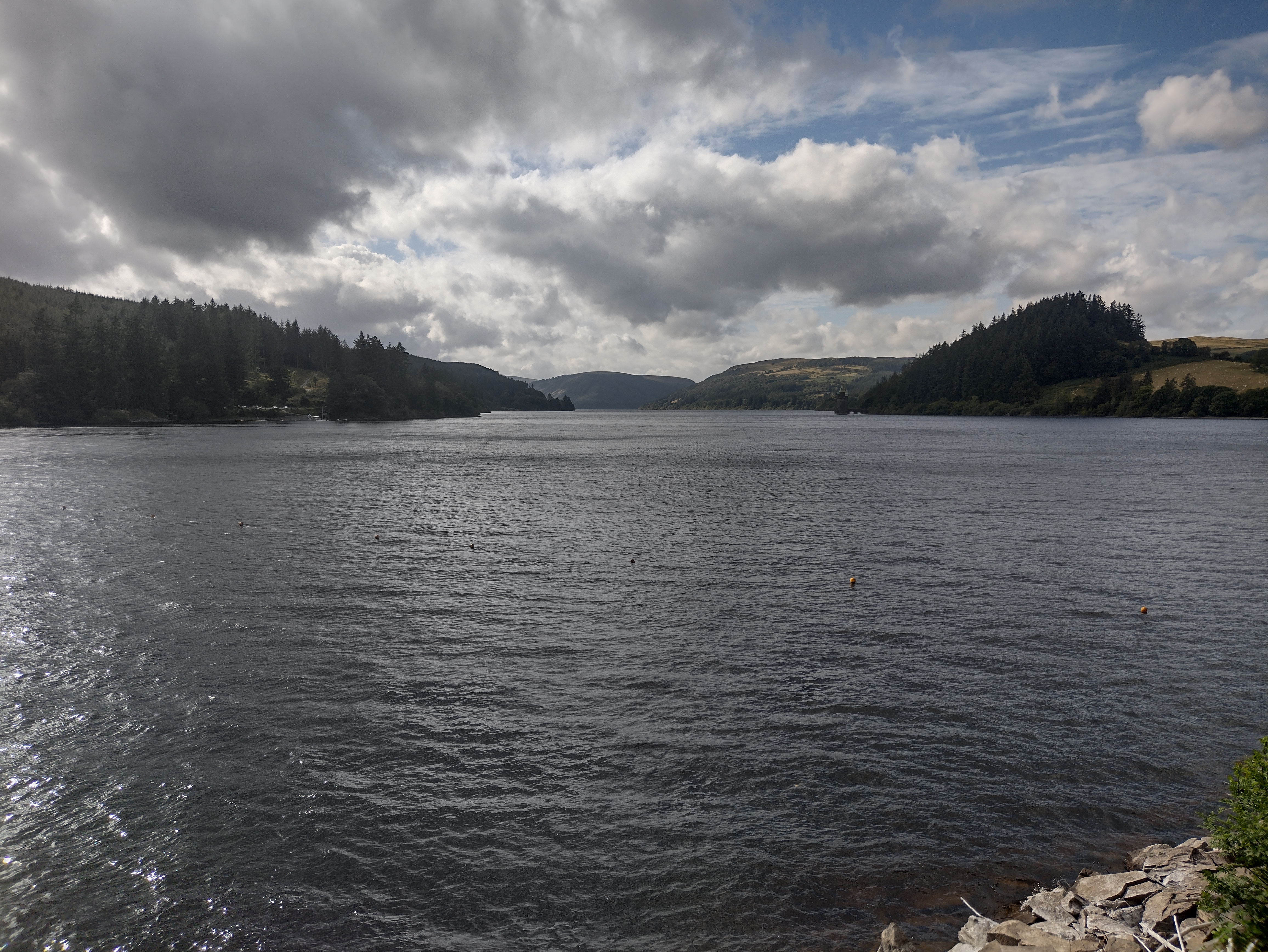 |
| IMG_20240809_180715605_HDR.jpg | Wales | 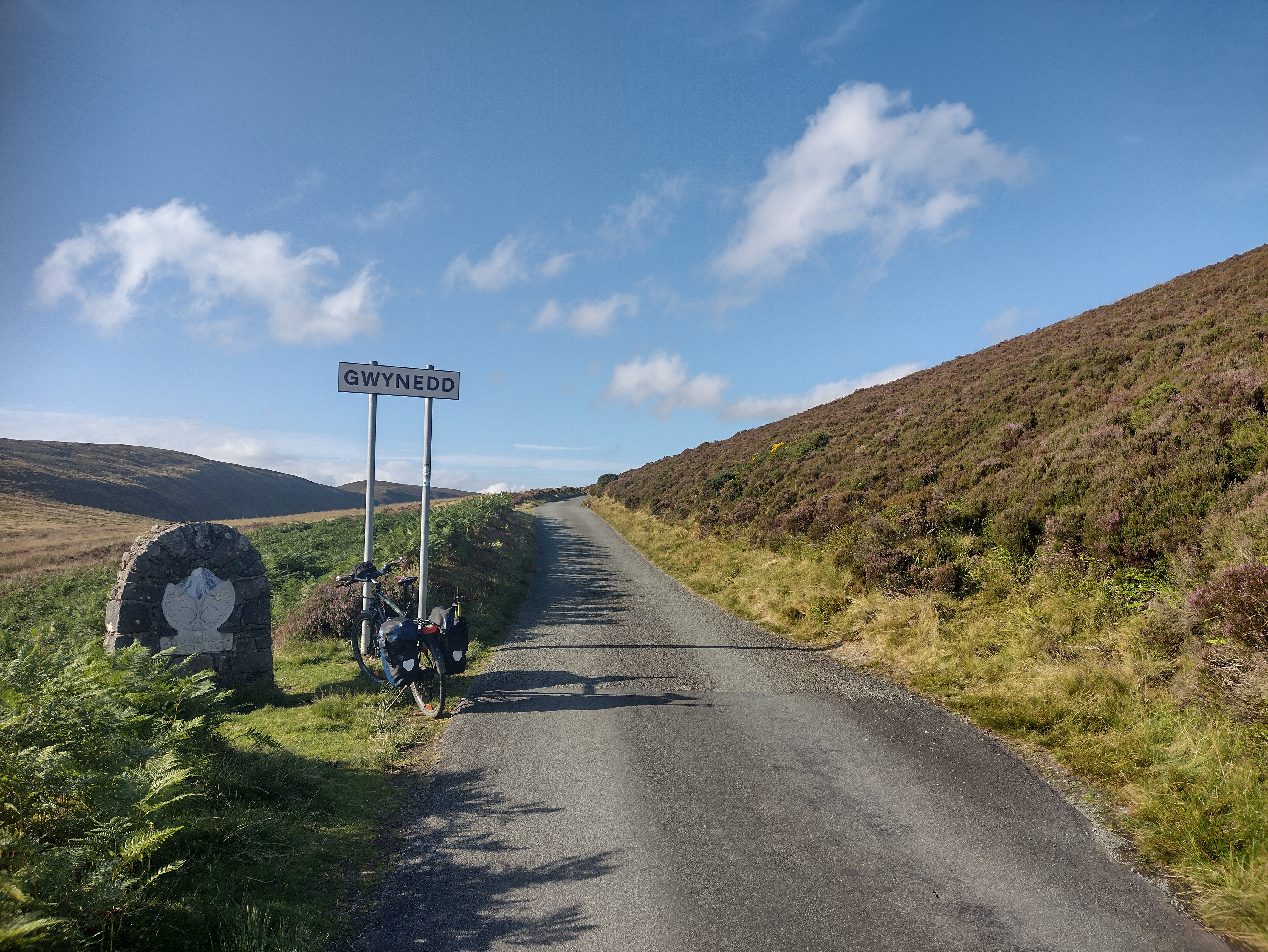 |
| IMG_20240809_181709908_HDR.jpg | Hirnant valley | 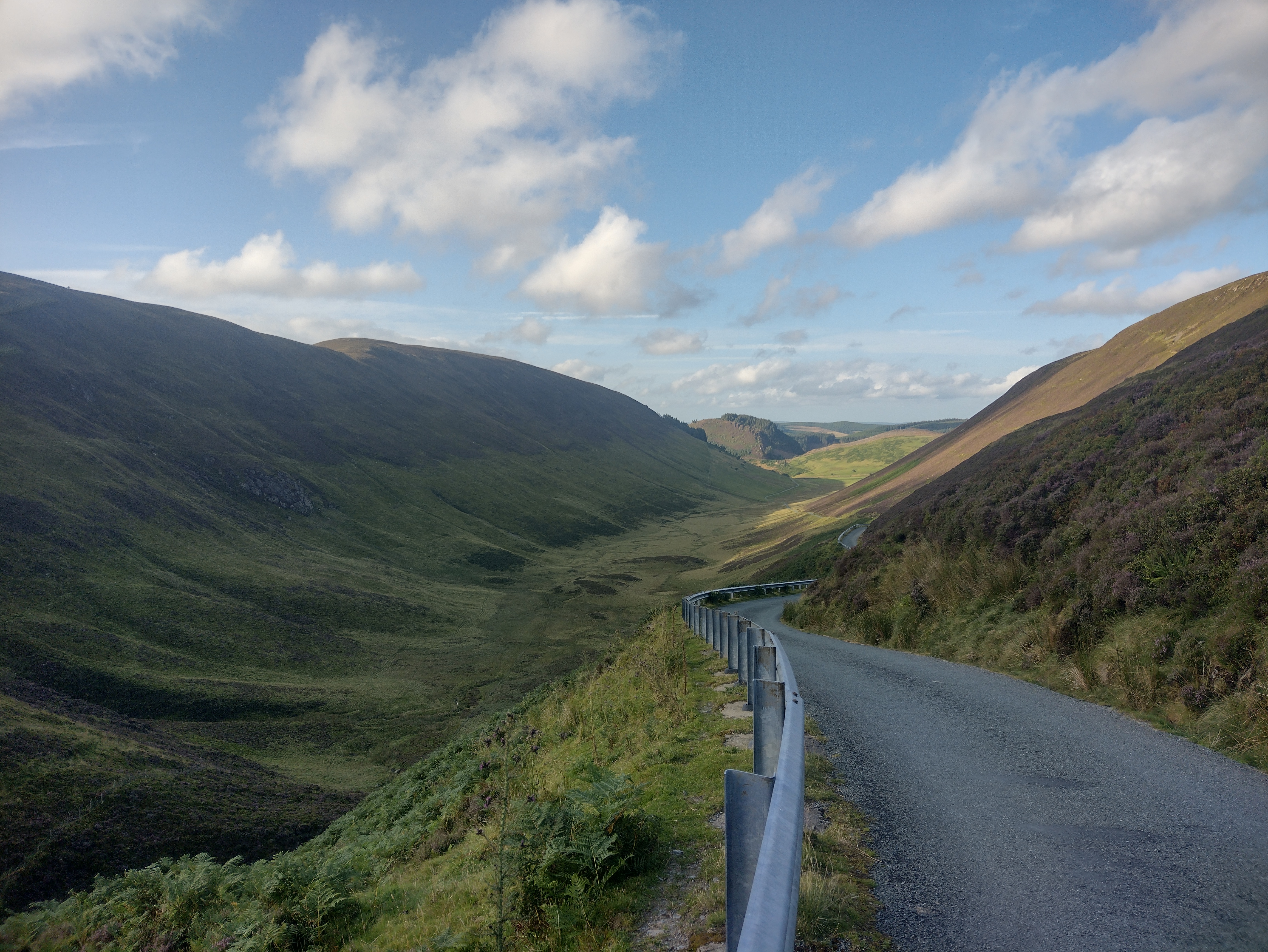 |
| IMG_20240810_090046457_HDR.jpg | Llanuwchilyn station | 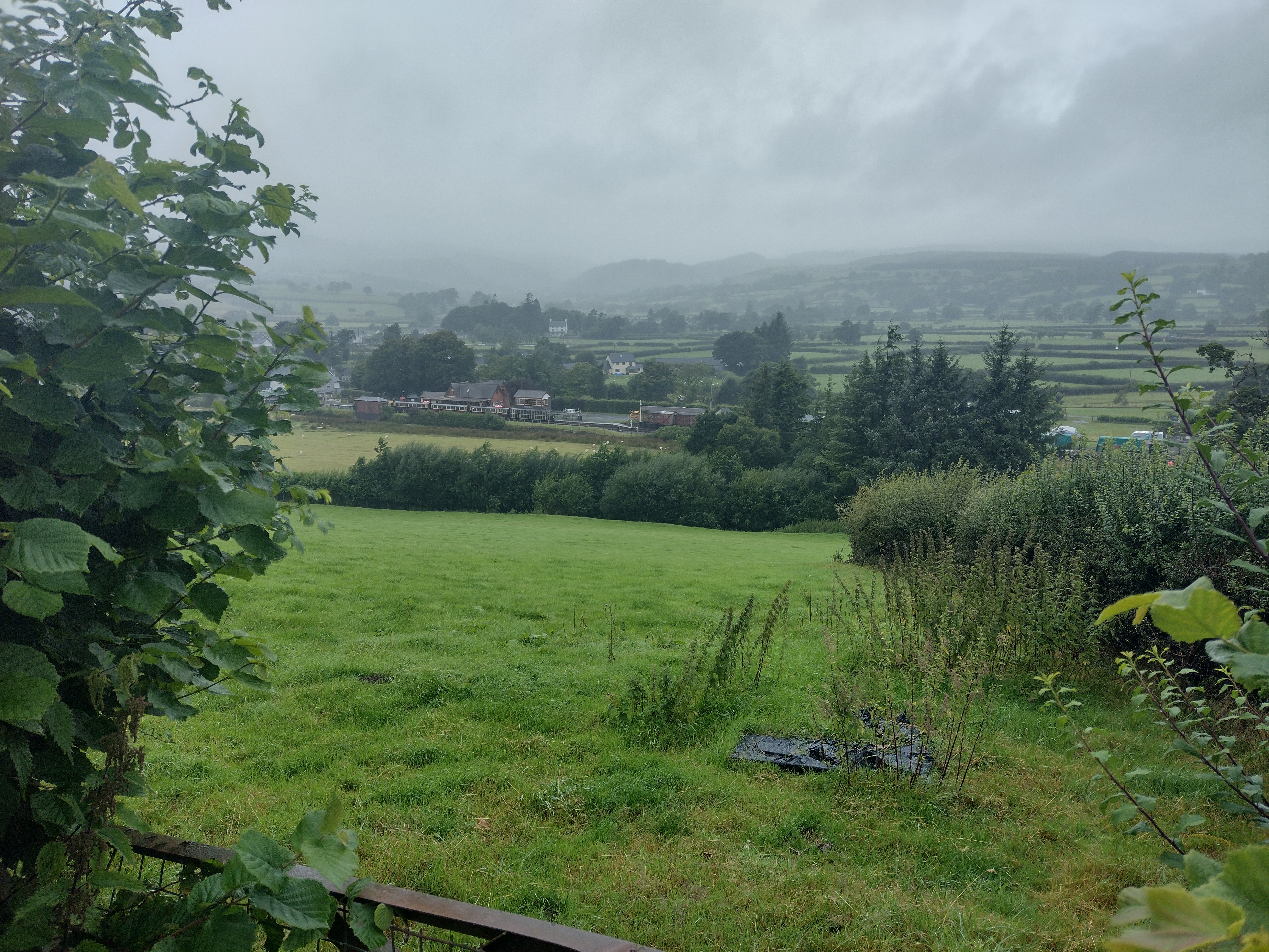 |
| IMG_20240810_092627841.jpg | Cow | 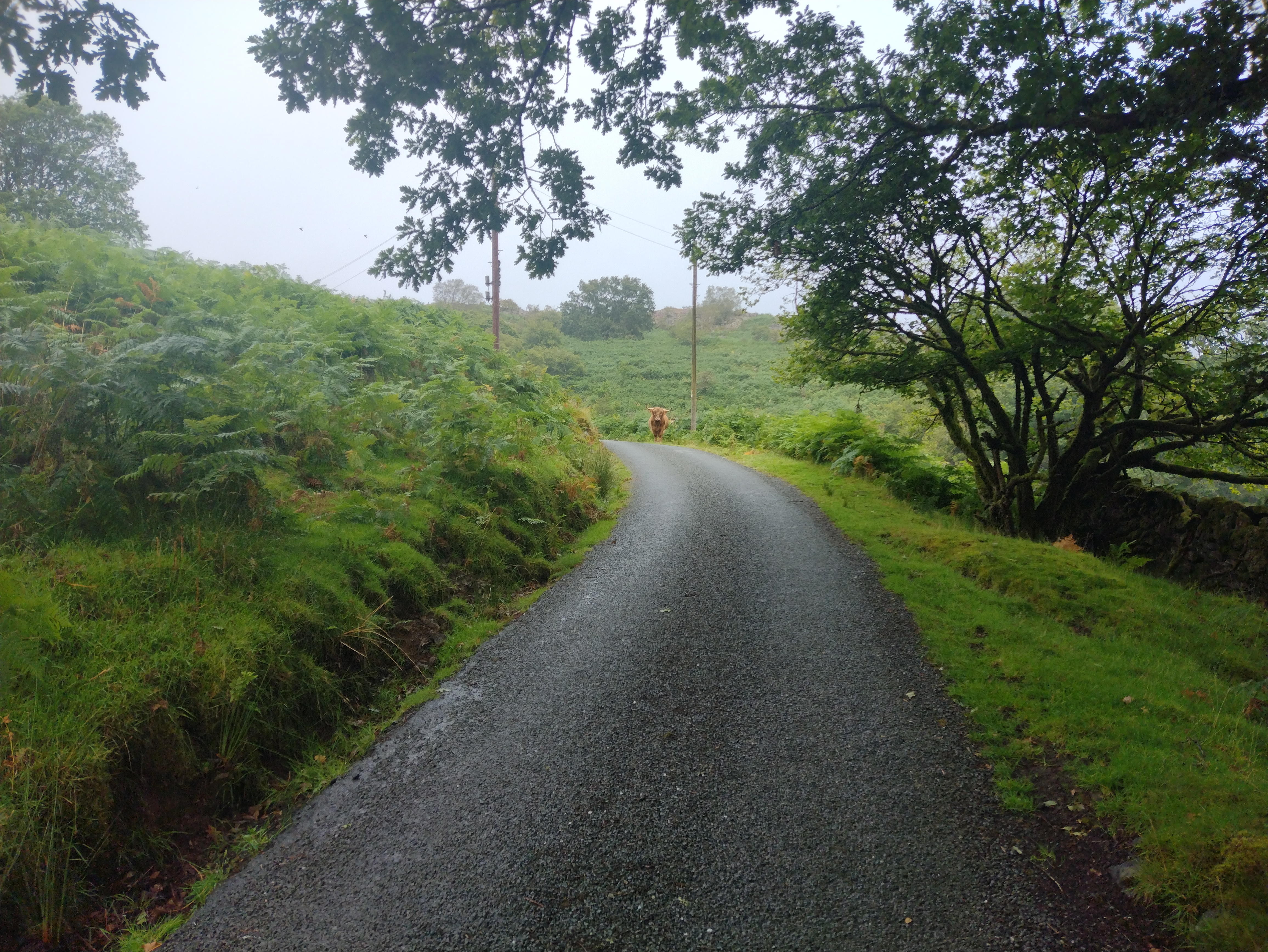 |
| IMG_20240810_102013583_HDR.jpg | Pont-y-Gain | 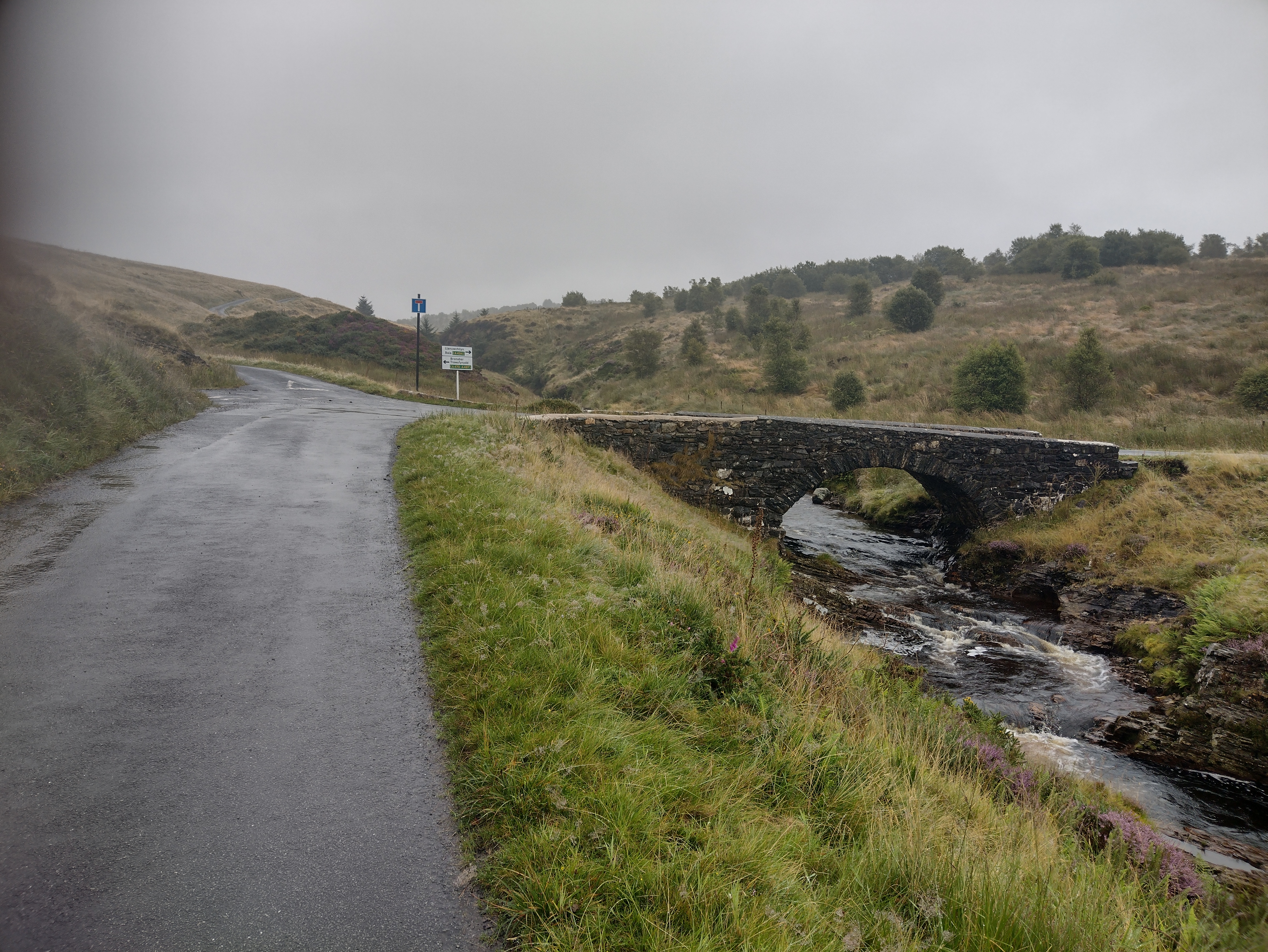 |
| IMG_20240810_123928469.jpg | Beddgelert | 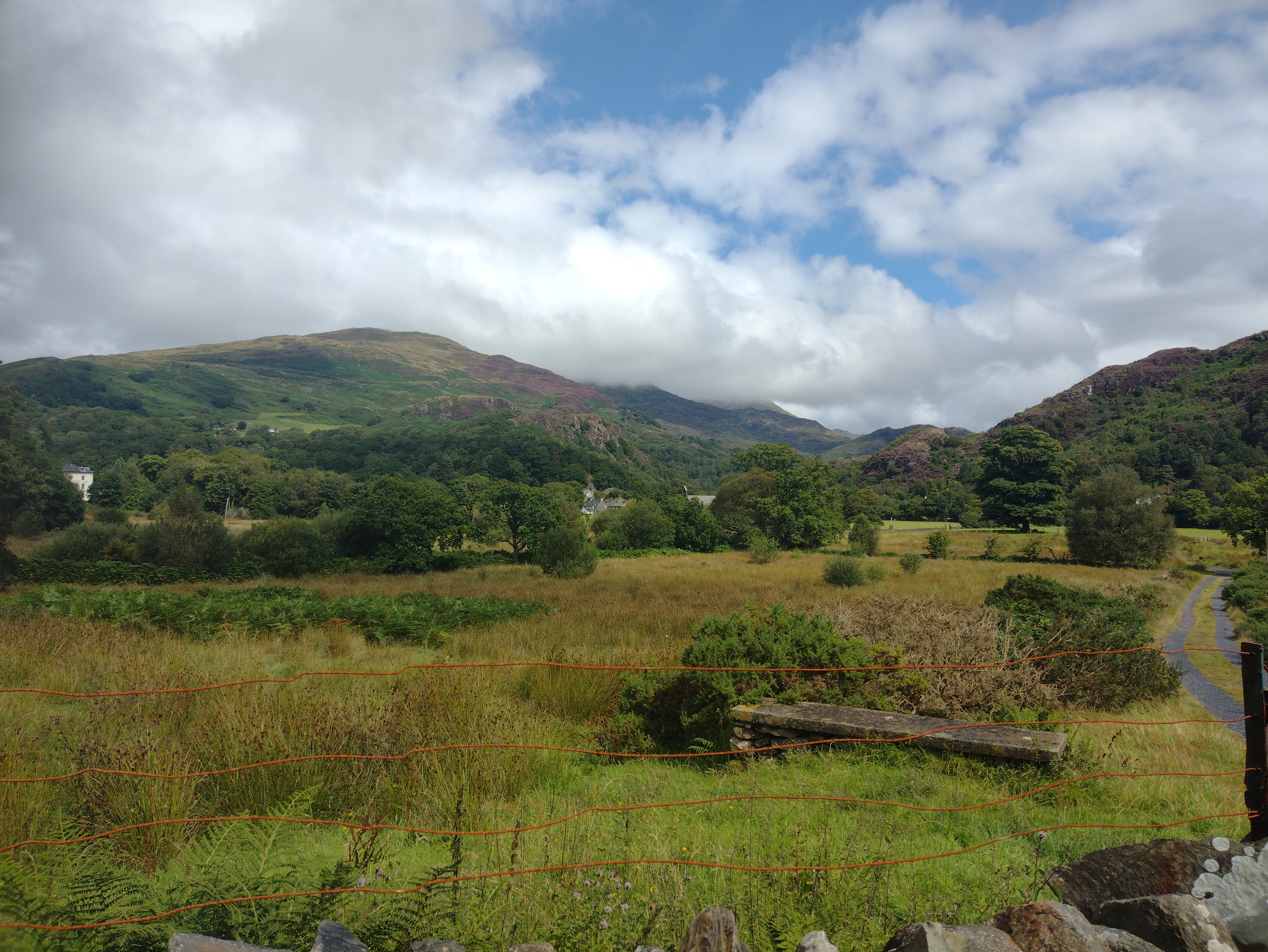 |
| IMG_20240811_104350083_HDR.jpg | Afon Niant Peris valley | 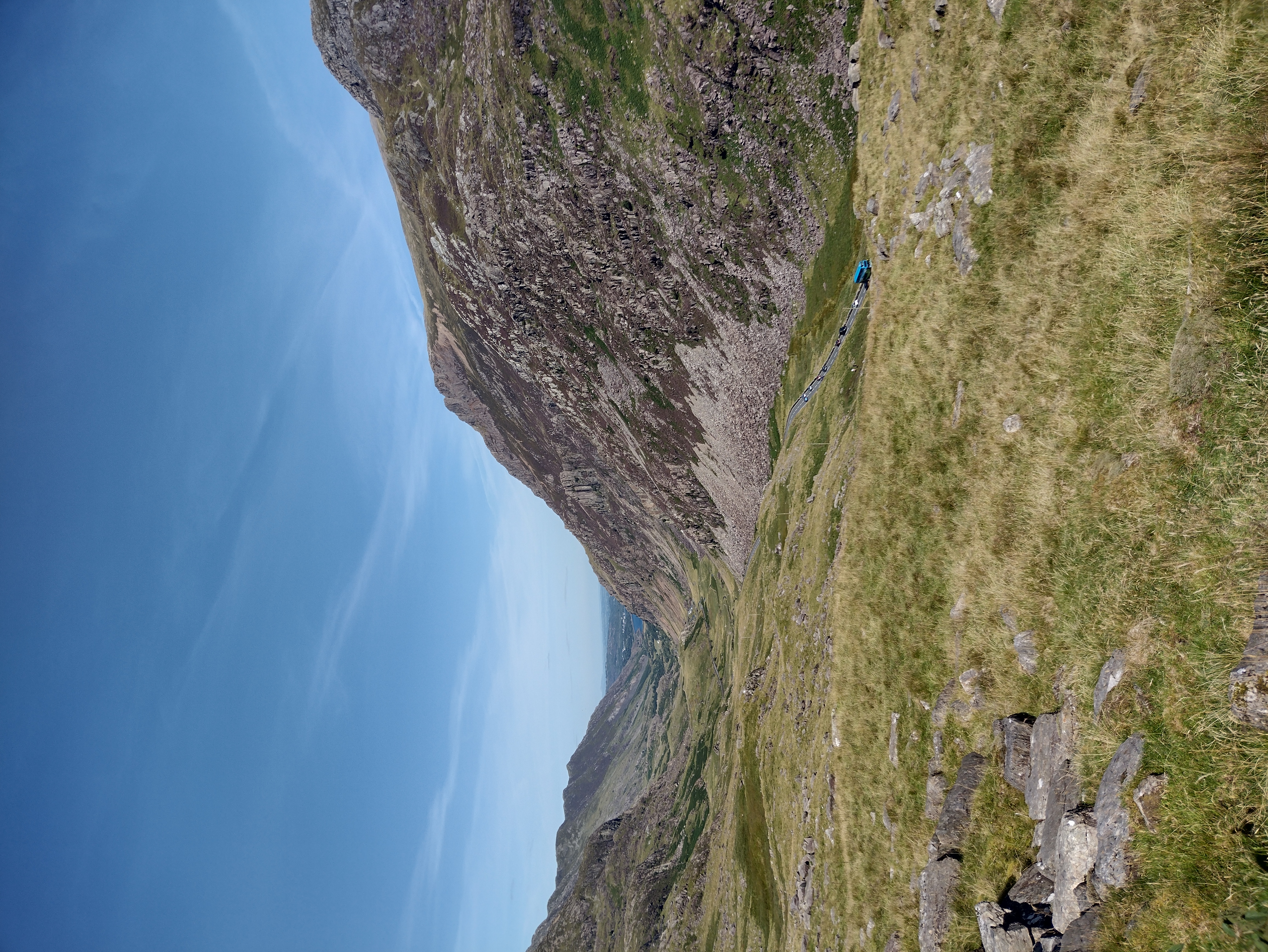 |
| IMG_20240811_110407792_HDR.jpg | Pen-y-Pass | 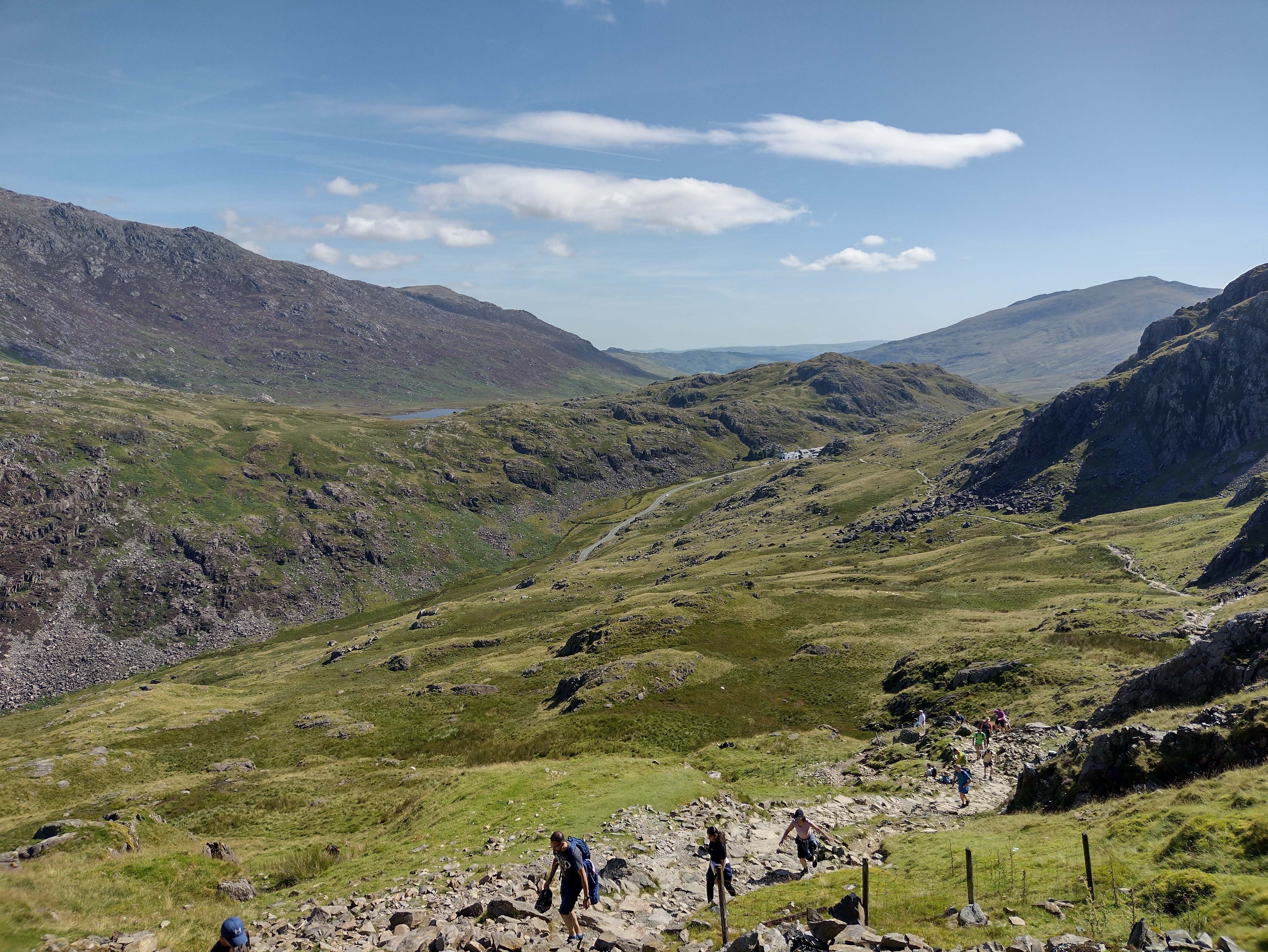 |
| IMG_20240811_112353783_HDR.jpg | Llyn Llydaw and Yr Wyddfa (Snowden) | 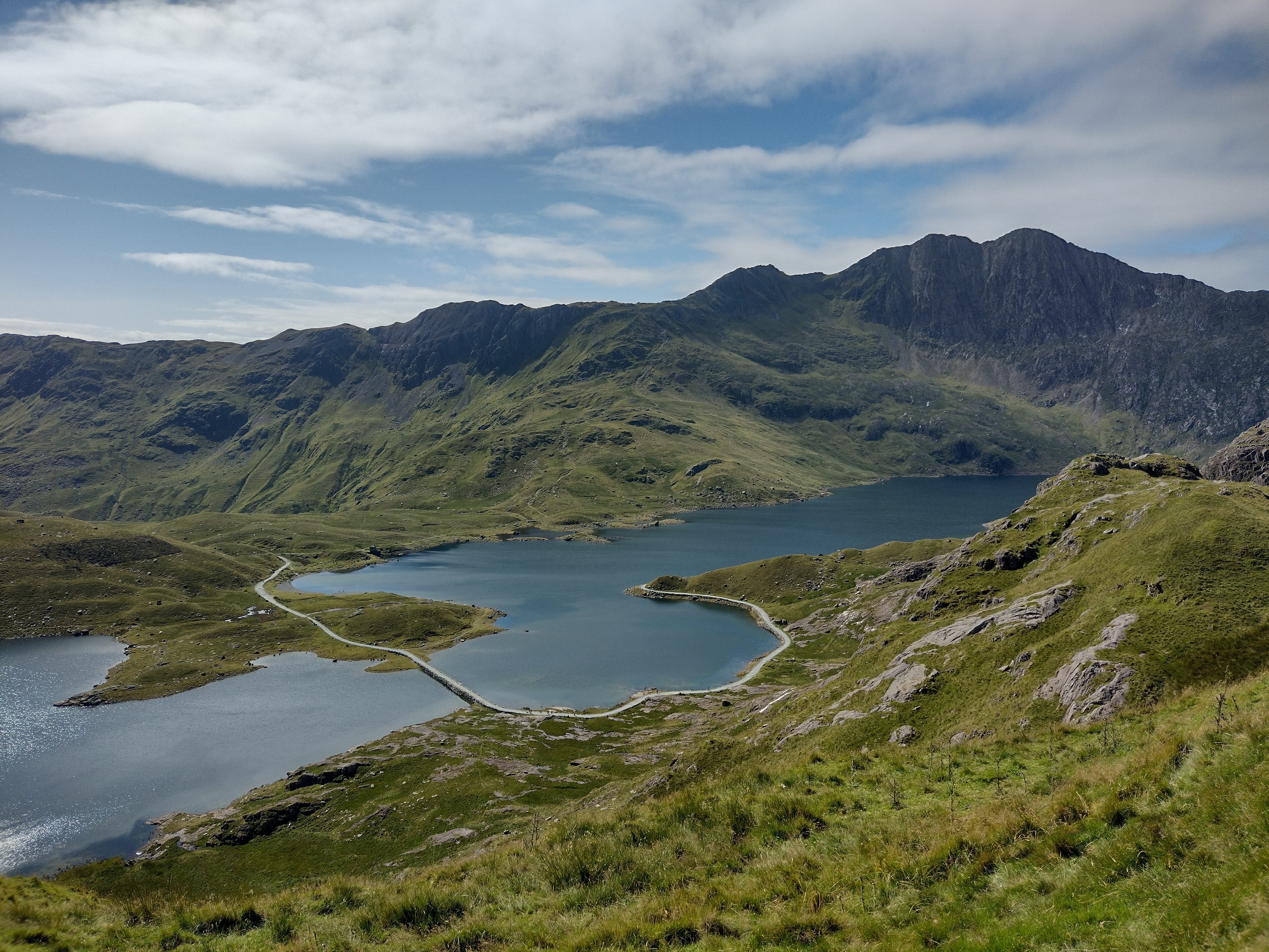 |
| IMG_20240811_130618984_HDR.jpg | Pyg Track, Glaslyn and Llyn Llydaw | 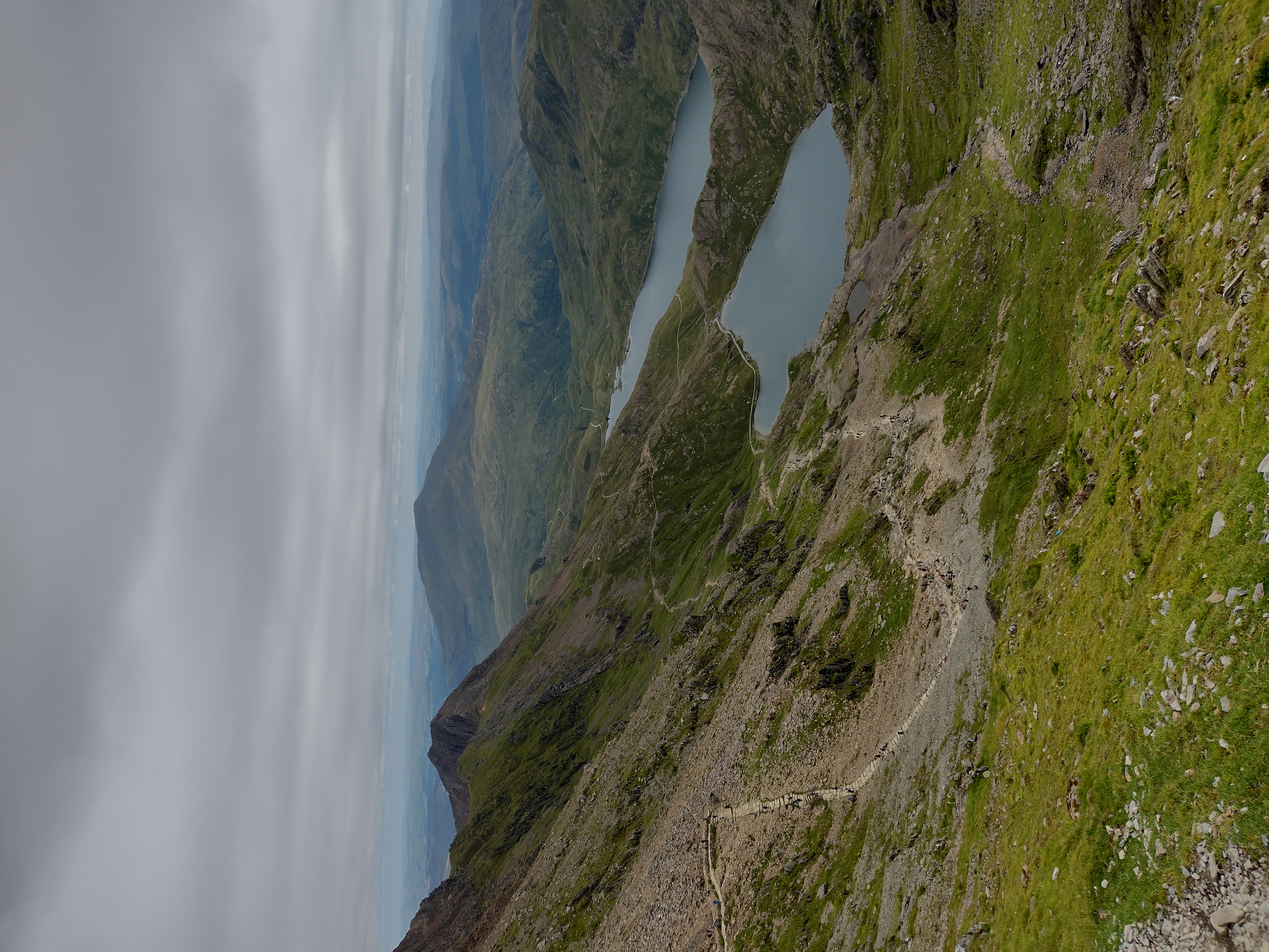 |
| IMG_20240811_142322503_HDR.jpg | View from Snowden to the west | 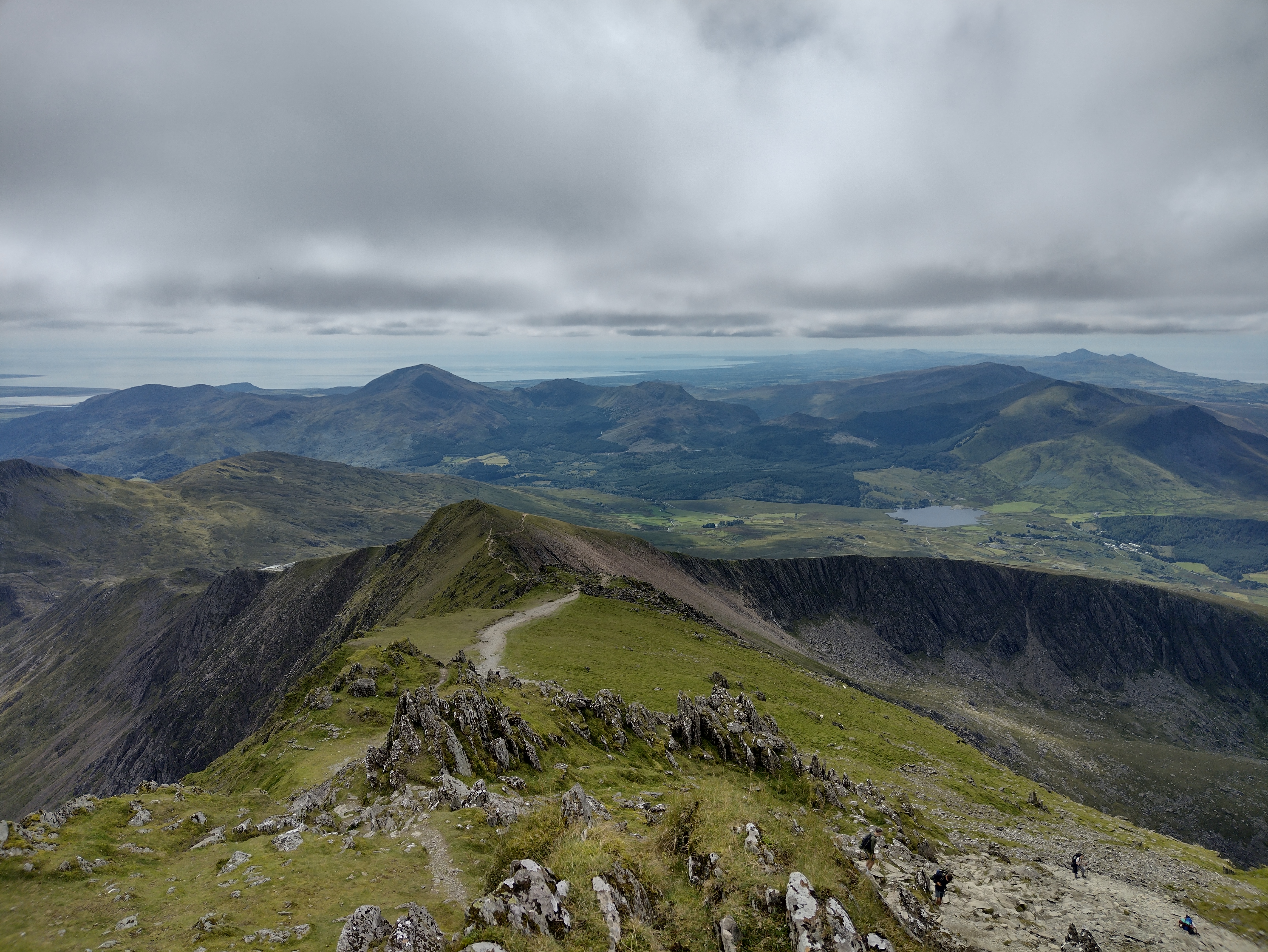 |
| IMG_20240811_160514317_HDR.jpg | Yr Wyddfa | 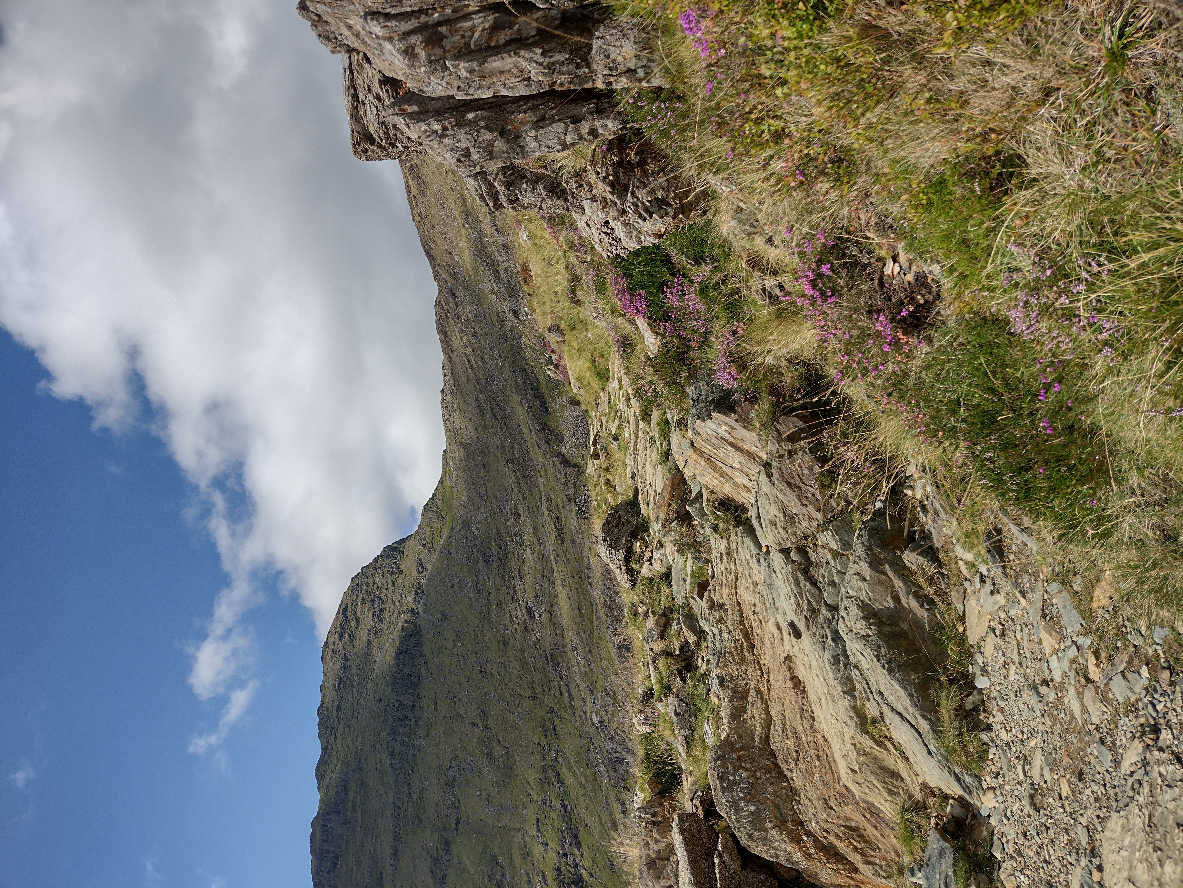 |
| IMG_20240811_165356216.jpg | Afon Cwrn Llan valley | 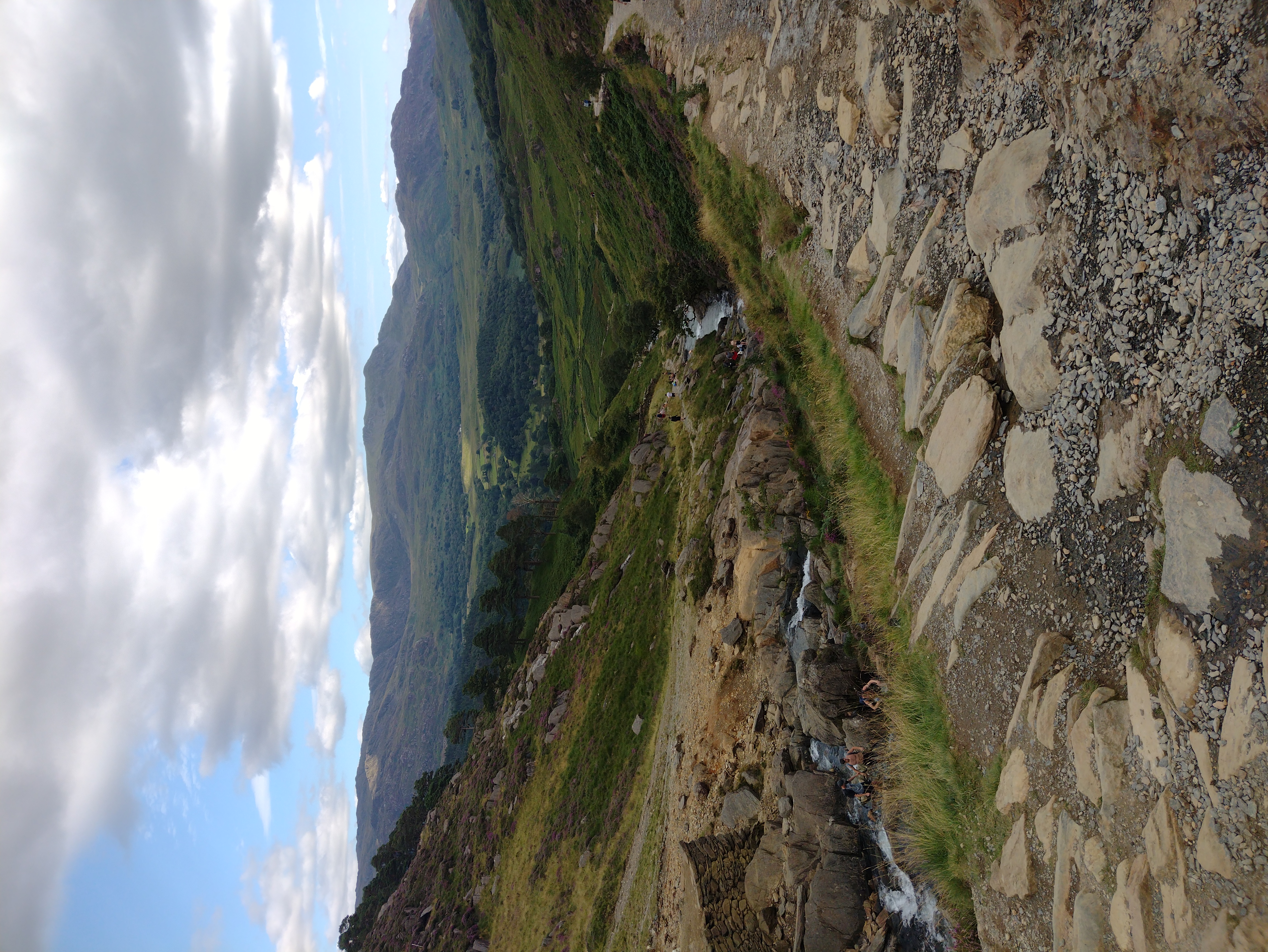 |
| IMG_20240812_124727774_HDR.jpg | Nant Gwrtheyrn | 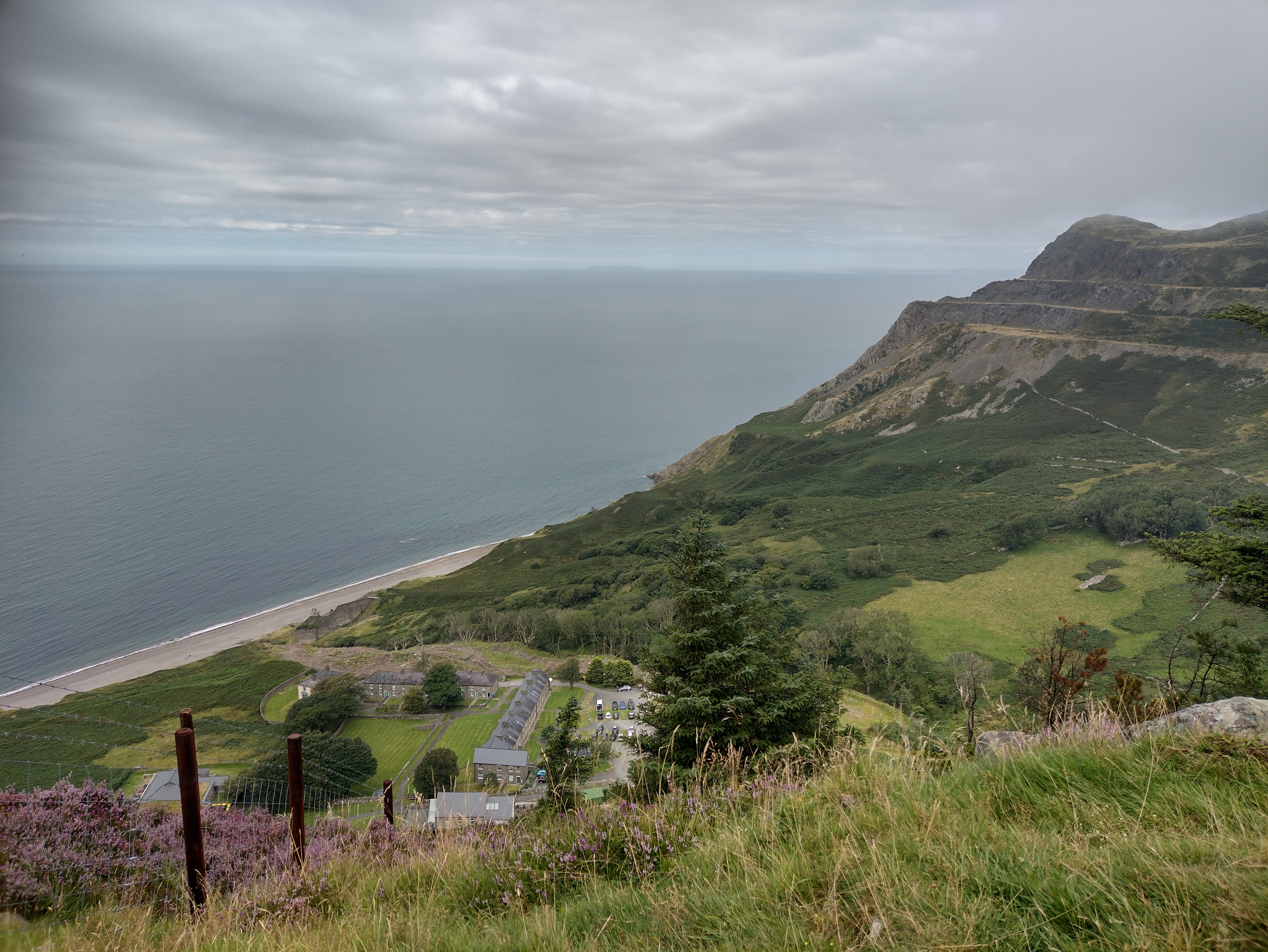 |
| IMG_20240812_124750754_HDR.jpg | Welch Coast to Porth Dinllaen | 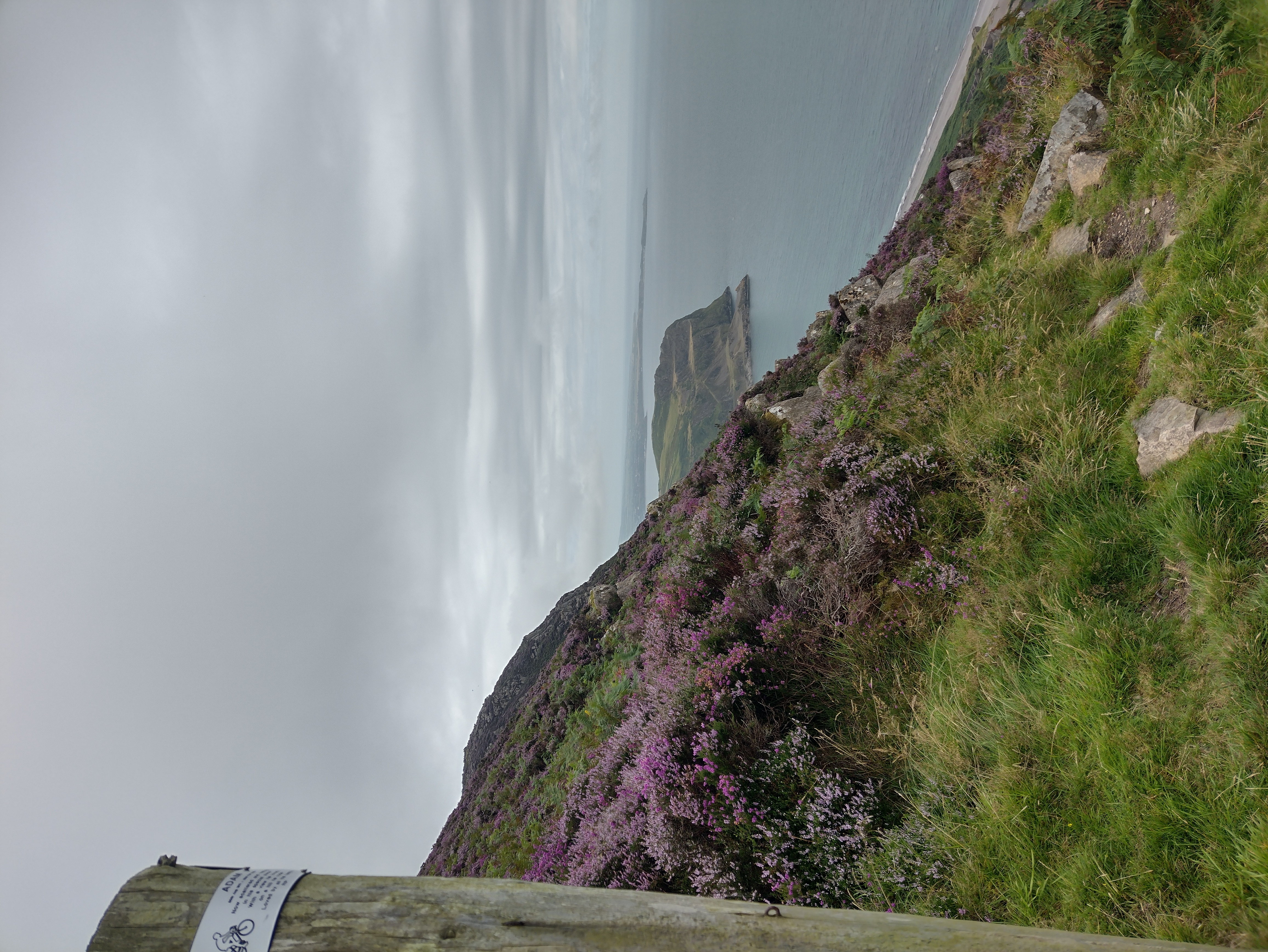 |
| IMG_20240812_132818687_HDR.jpg | Heather in front of Yr Eifl | 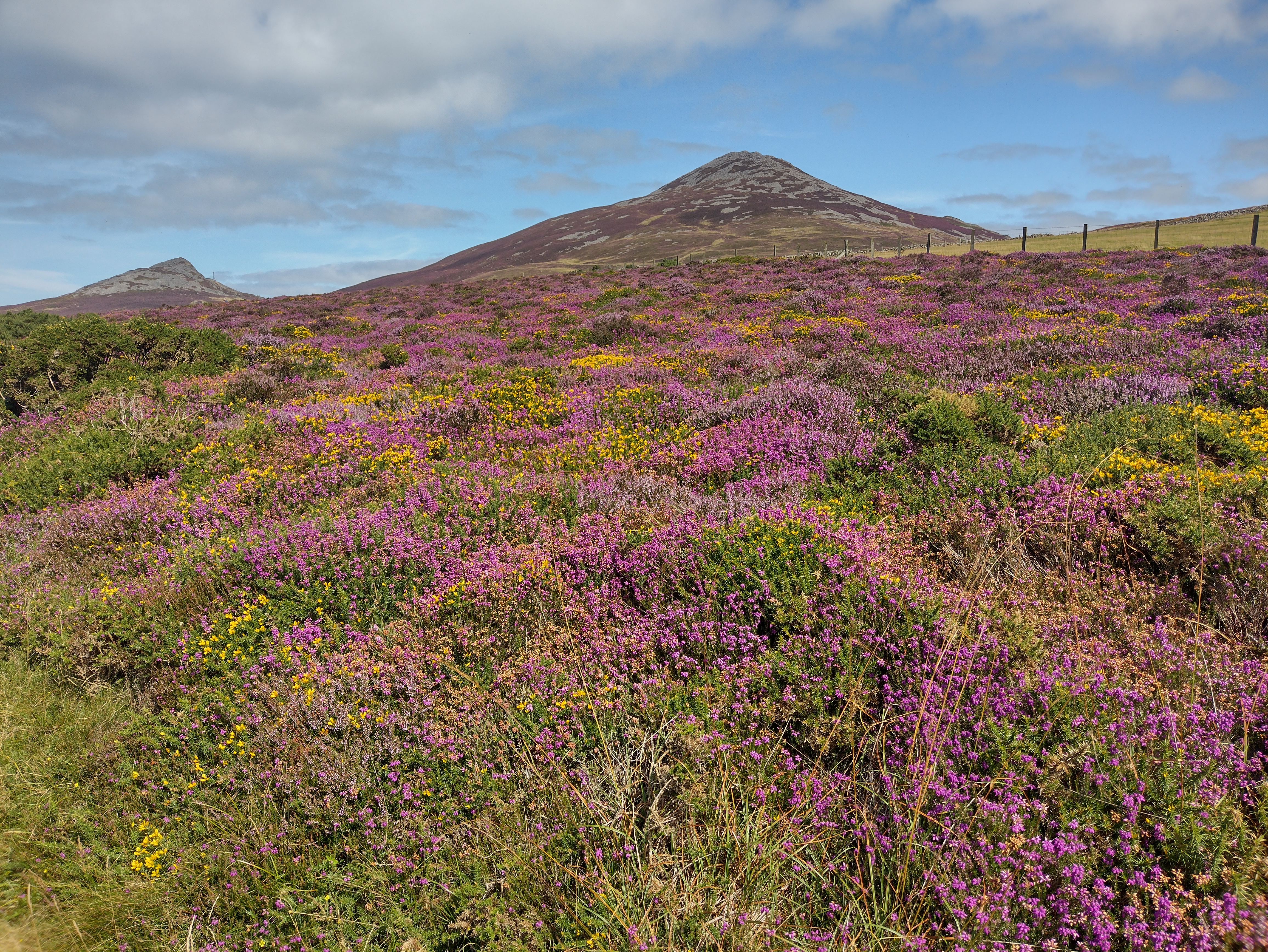 |
| IMG_20240812_142413420_HDR.jpg | Yr Eifl from Porth Dinllaen | 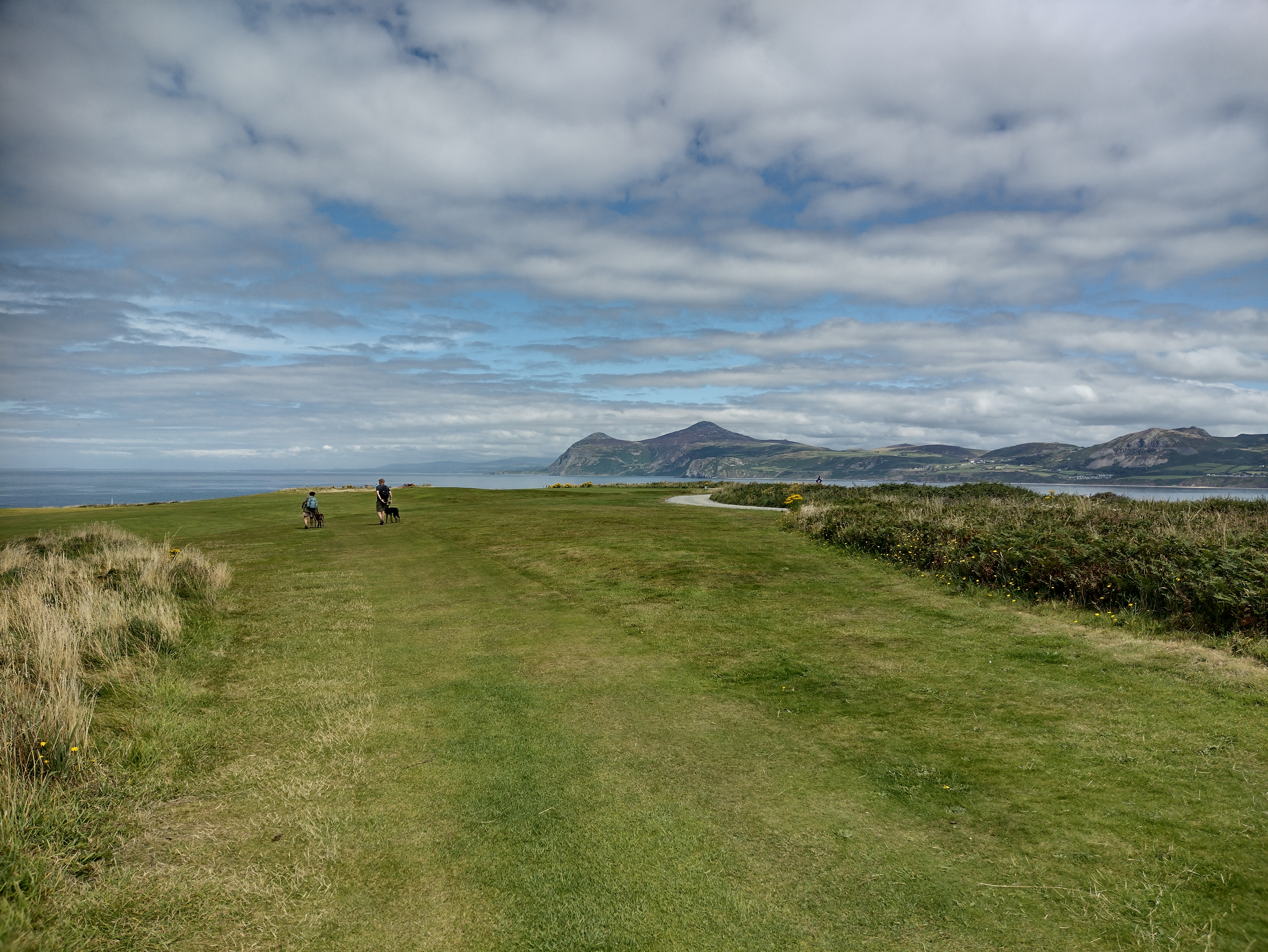 |
| IMG_20240813_201917757_HDR.jpg | Sunset over Caernarfon | 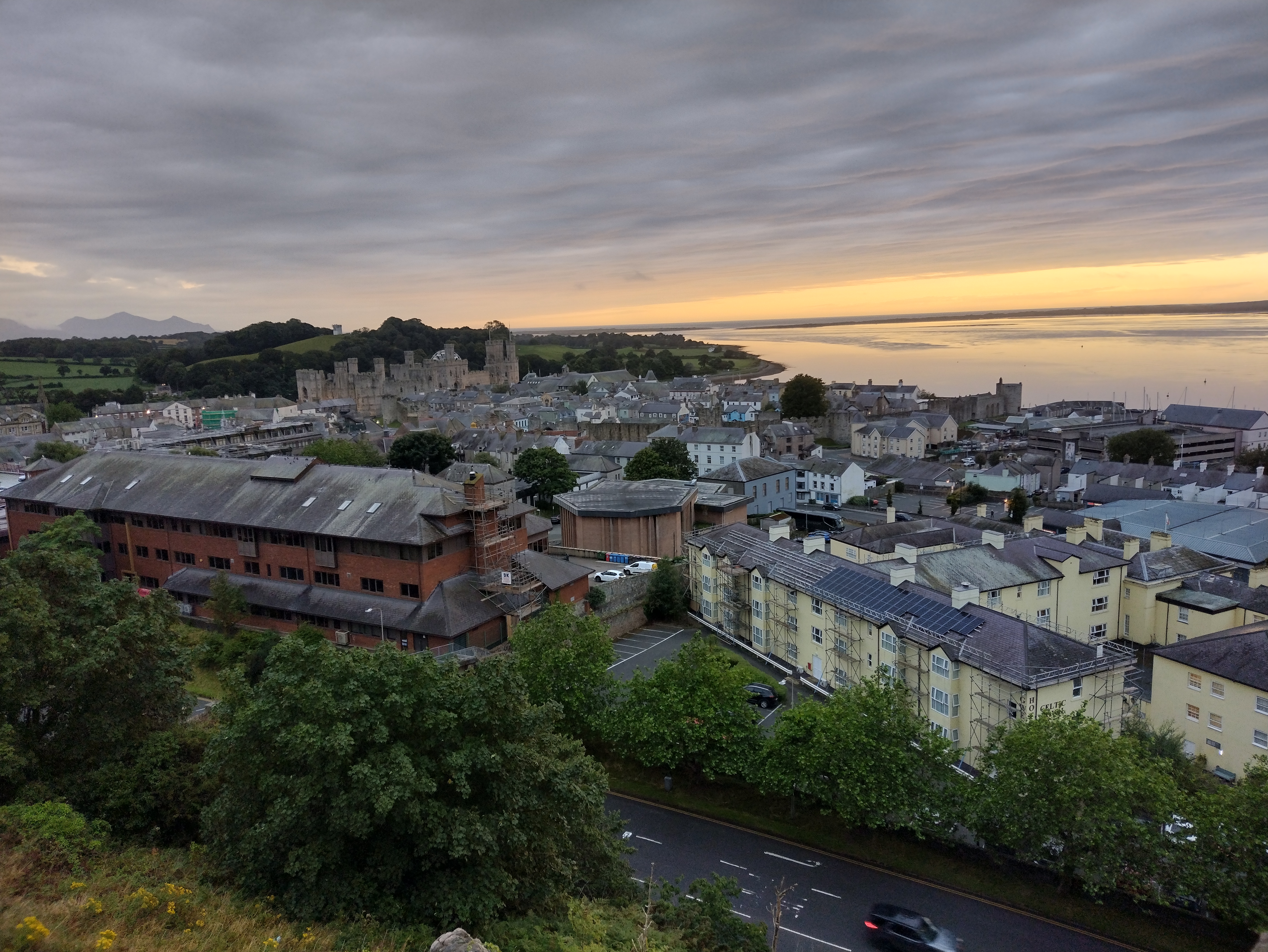 |
| IMG_20240814_105701782_HDR.jpg | Menai Bridge | 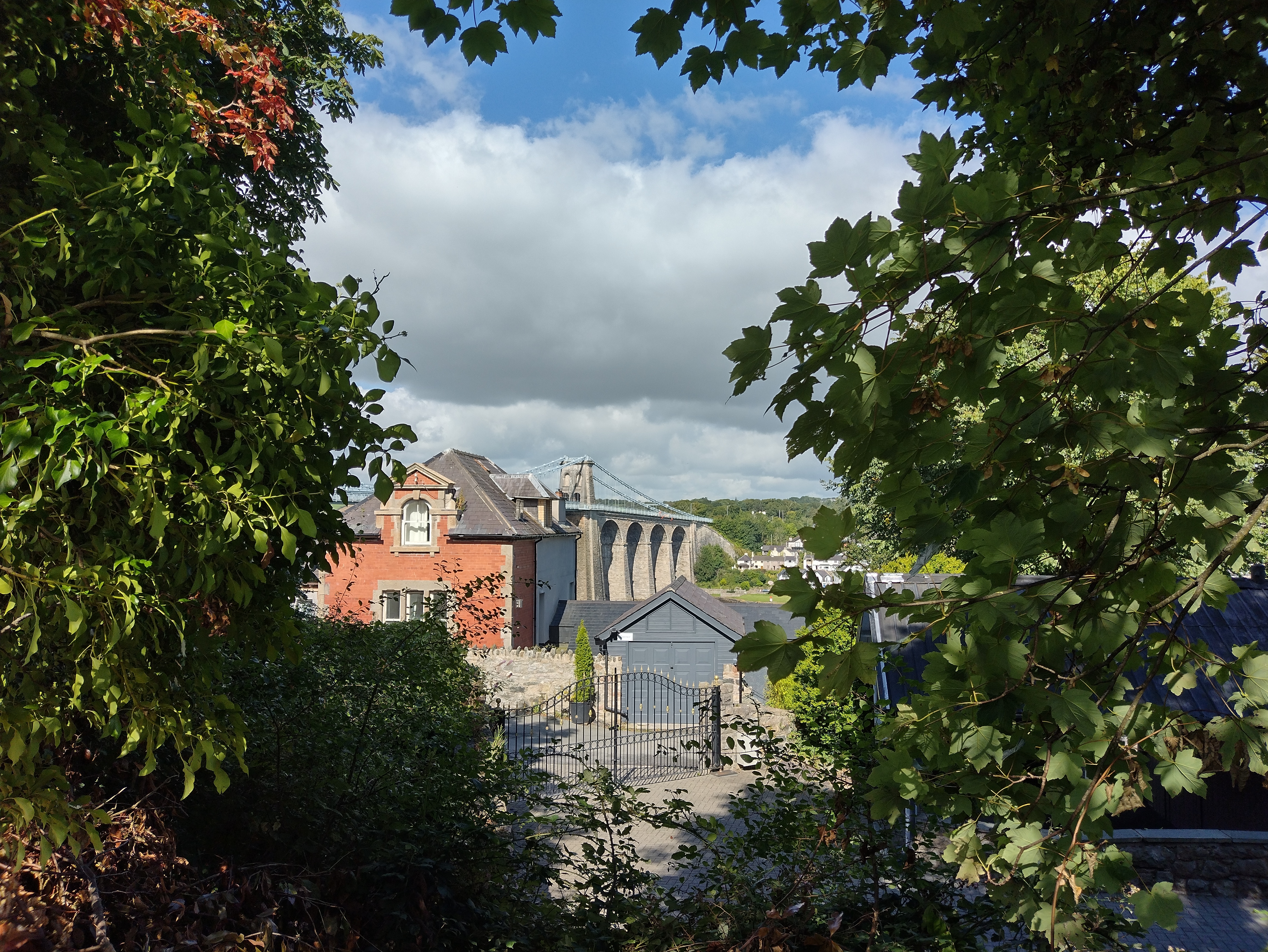 |
| IMG_20240814_110154013_HDR.jpg | Britannia Bridge |  |
| IMG_20240814_130933237_HDR.jpg | From Anglesey to Trefor |  |
| IMG_20240814_145314432.jpg | Pilots Cave to Caernarfon |  |
| IMG_20240814_162019361_HDR.jpg | Dunes of Ro Bach |  |
| IMG_20240814_165534592.jpg | Snowden area from Anglesey |  |
| IMG_20240814_175217991.jpg | Menai and Britannia Bridge |  |
| IMG_20240818_103500095_HDR.jpg | Macclesfield Forest Reservoir |  |
| IMG_20240818_105551157_HDR.jpg | Moors |  |
| IMG_20240818_113757847_HDR.jpg | Thirkelow Rocks |  |
| IMG_20250308_094352601_HDR.jpg | View from Castle to White Hills | 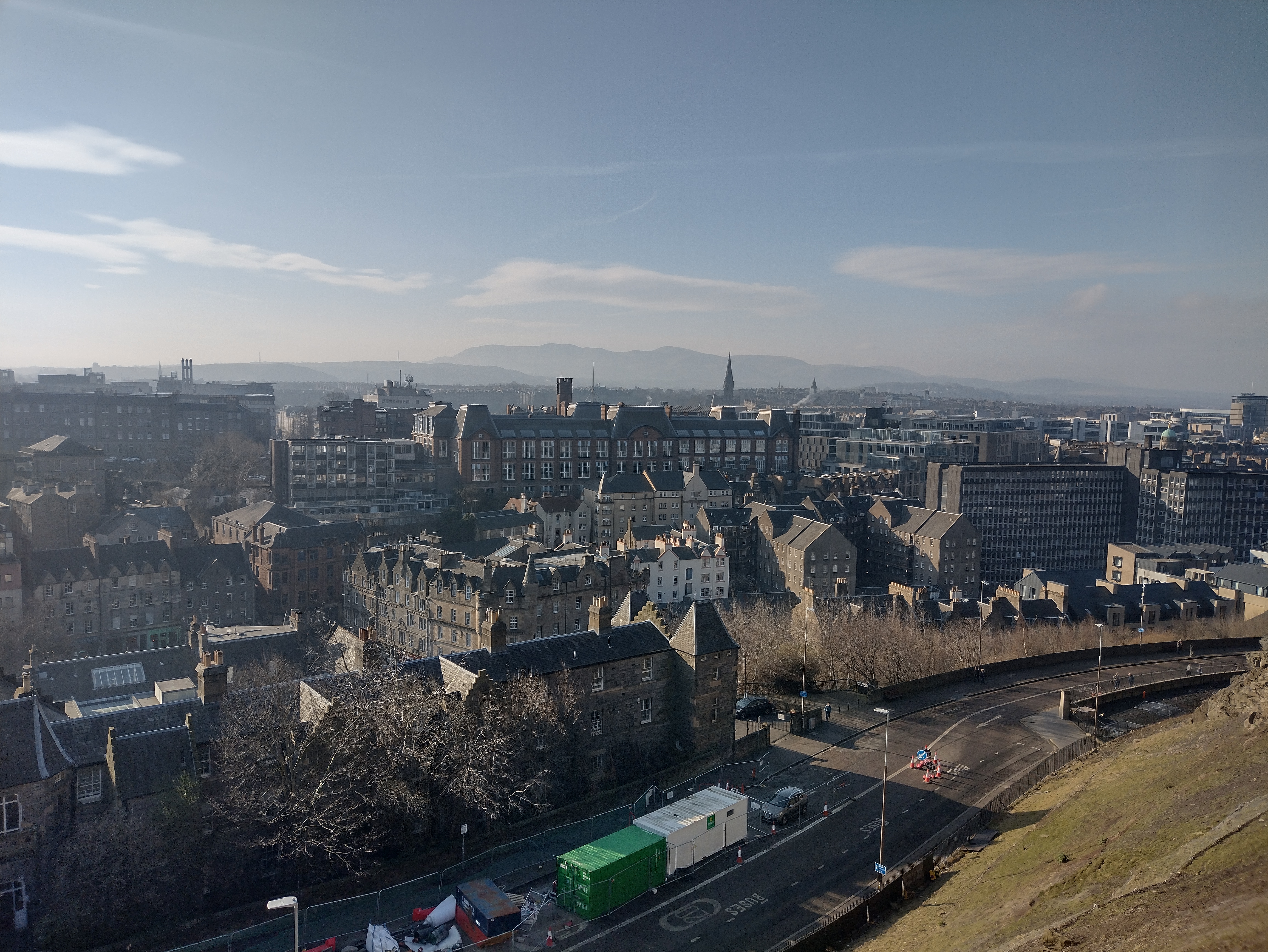 |
| IMG_20250308_095635229_HDR.jpg | Two levels of Restaurants/Shops |  |
| IMG_20250308_100558040_HDR.jpg | Castle View | 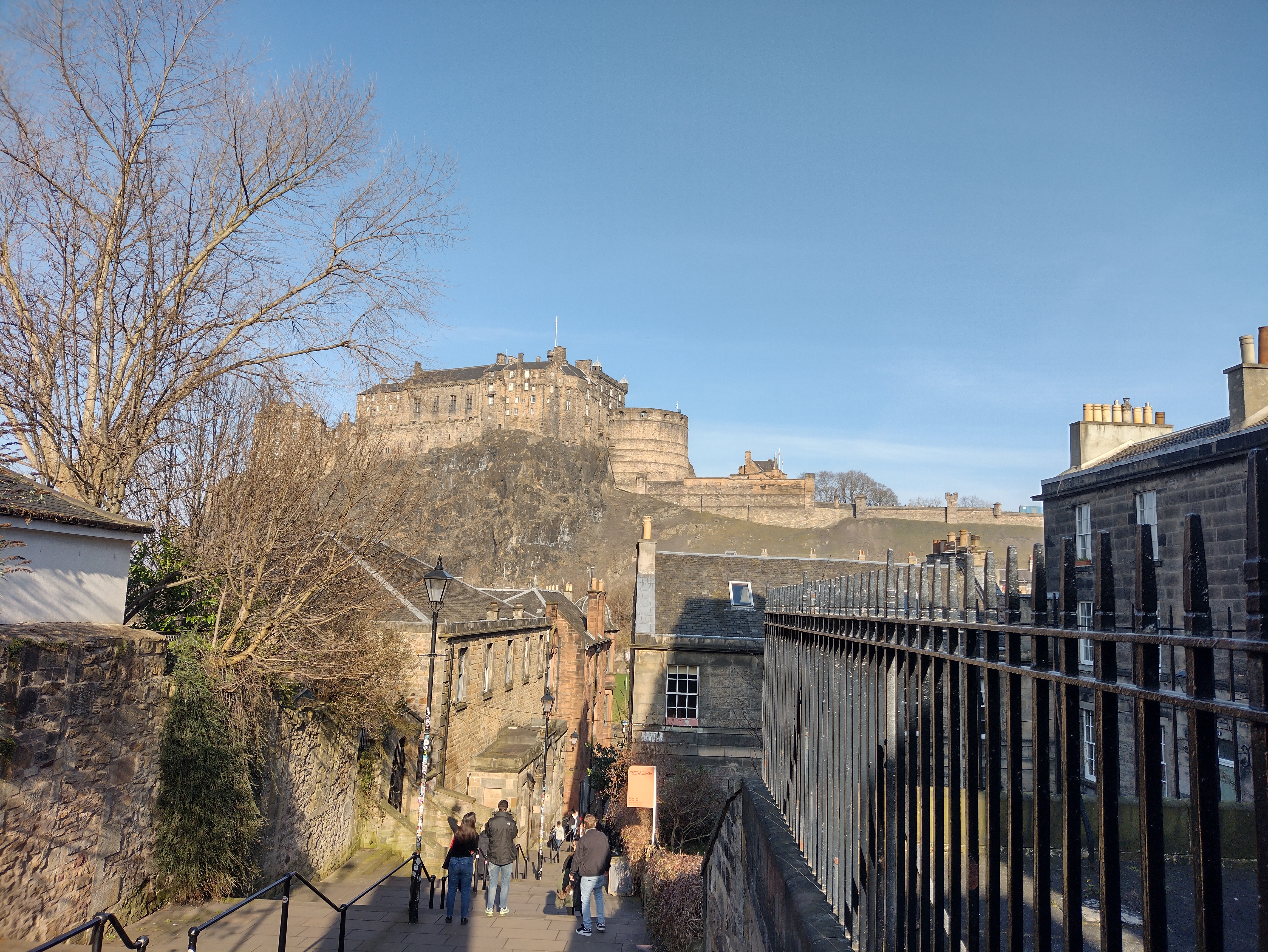 |
| IMG_20250308_131502873_HDR.jpg | Leith and East Edinburgh |  |
| IMG_20250308_132527136.jpg | Panorama of Edinburgh and Arthurs Seat from Arthurs Seat |  |
| IMG_20250308_165718416_HDR.jpg | Two roads four stories apart |  |
| IMG_20250308_172710644_HDR.jpg | Sunset over Princes Street |  |
| IMG_20250310_104823203_HDR.jpg | On the moor with Cock Rig in the clouds |  |
| IMG_20250310_114043036_HDR.jpg | Logan Burn gorge |  |
| IMG_20250310_125423369_HDR.jpg | Black Hill behind GlenCorse Reservoir |  |
| IMG_20250310_131353480_HDR.jpg | Carnethy Hill above the valley |  |
| IMG_20250310_131415652.jpg | Panorama Glencorse Reservoir |  |
| IMG_20250310_134701841_HDR.jpg | Leith from Harbour Hill | 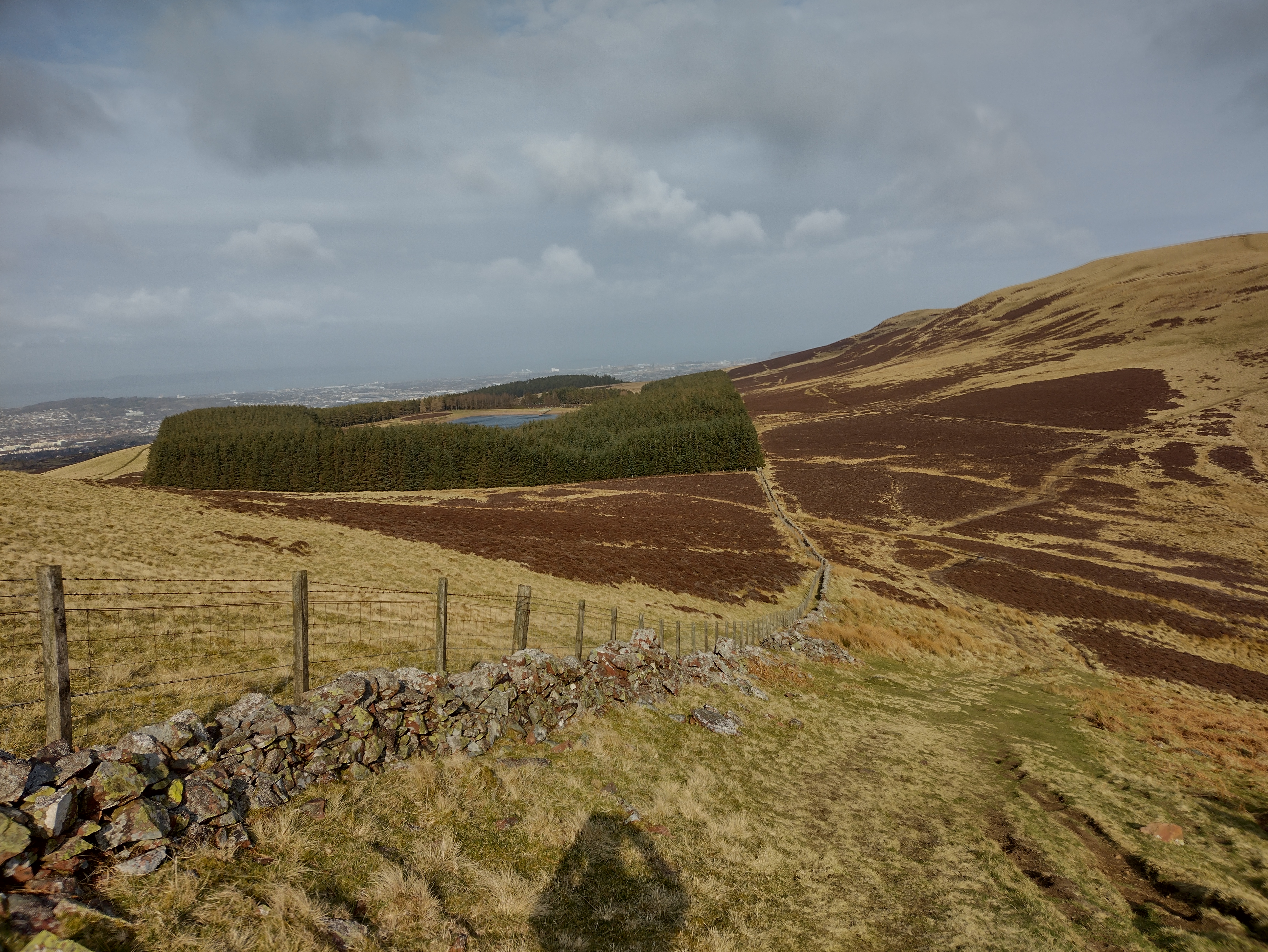 |
| IMG_20250310_143628623_HDR.jpg | Reeds in Threipmuir Reservoir | 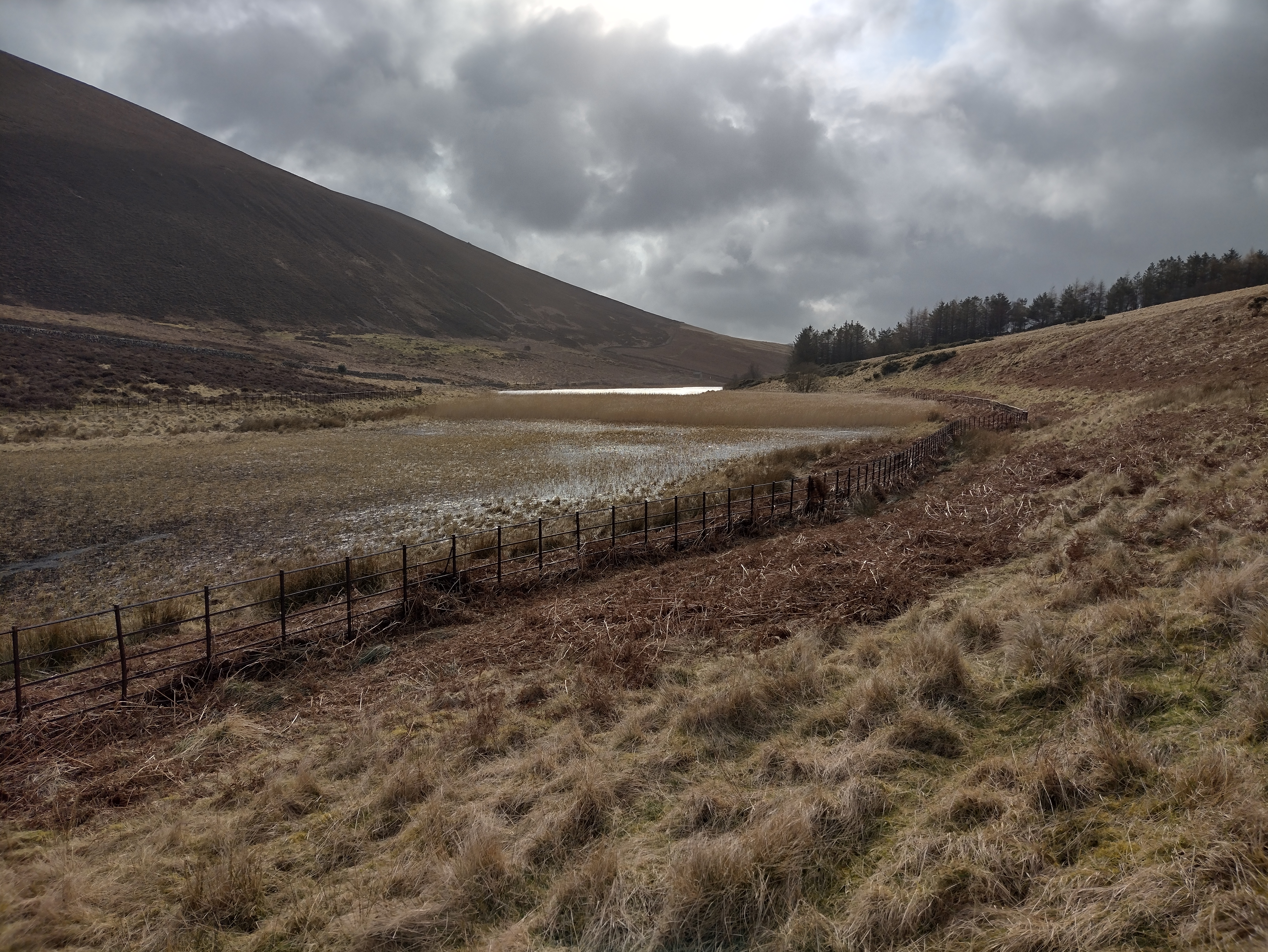 |
| IMG_20250310_165807014_HDR.jpg | Edinburgh Castle from Bonaly Country Park | 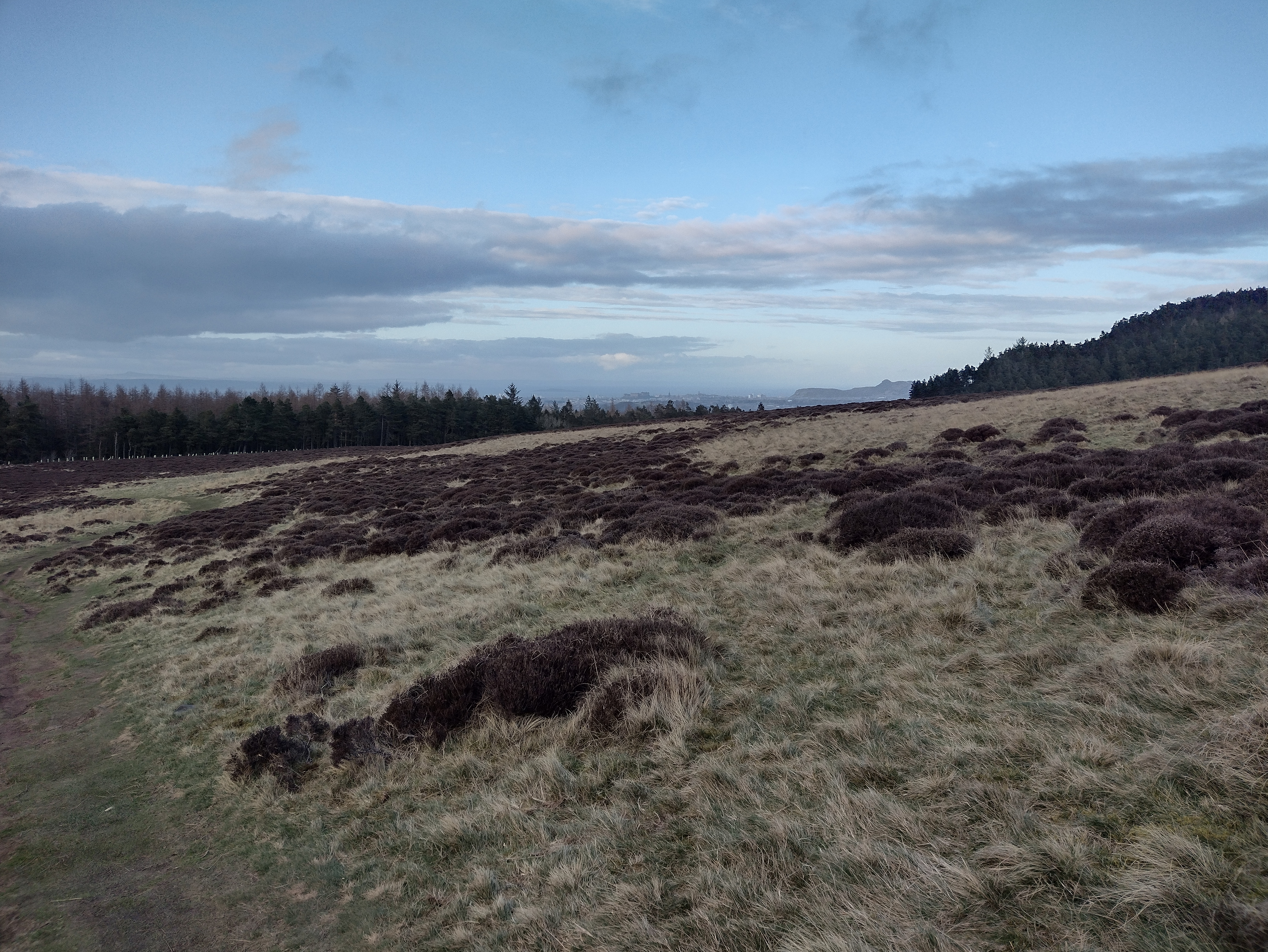 |
| IMG_20250310_210501361.jpg | Old town view at night | 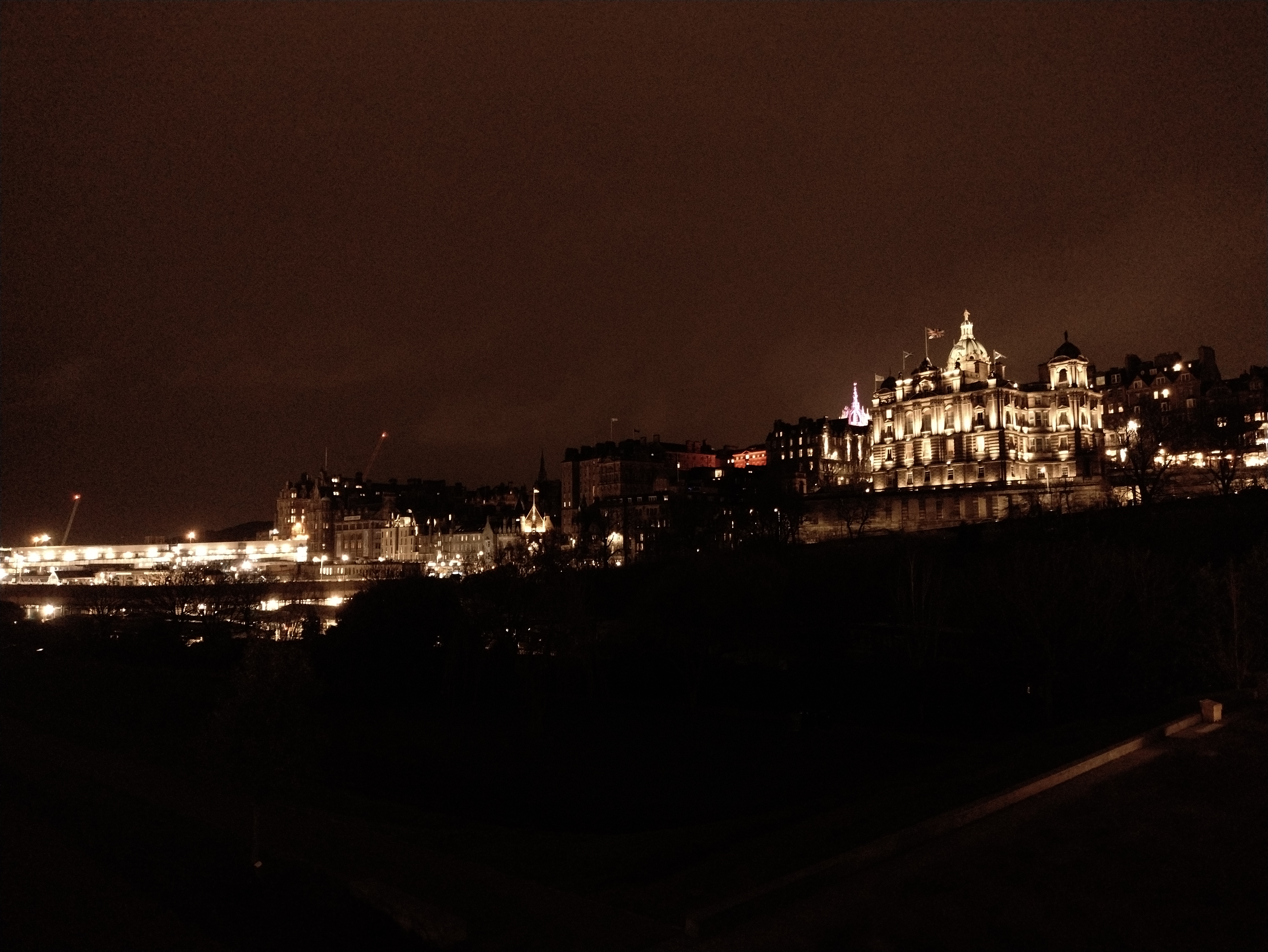 |
| IMG_20250310_210841613.jpg | Station, Balmoral and Scott Monument at night | 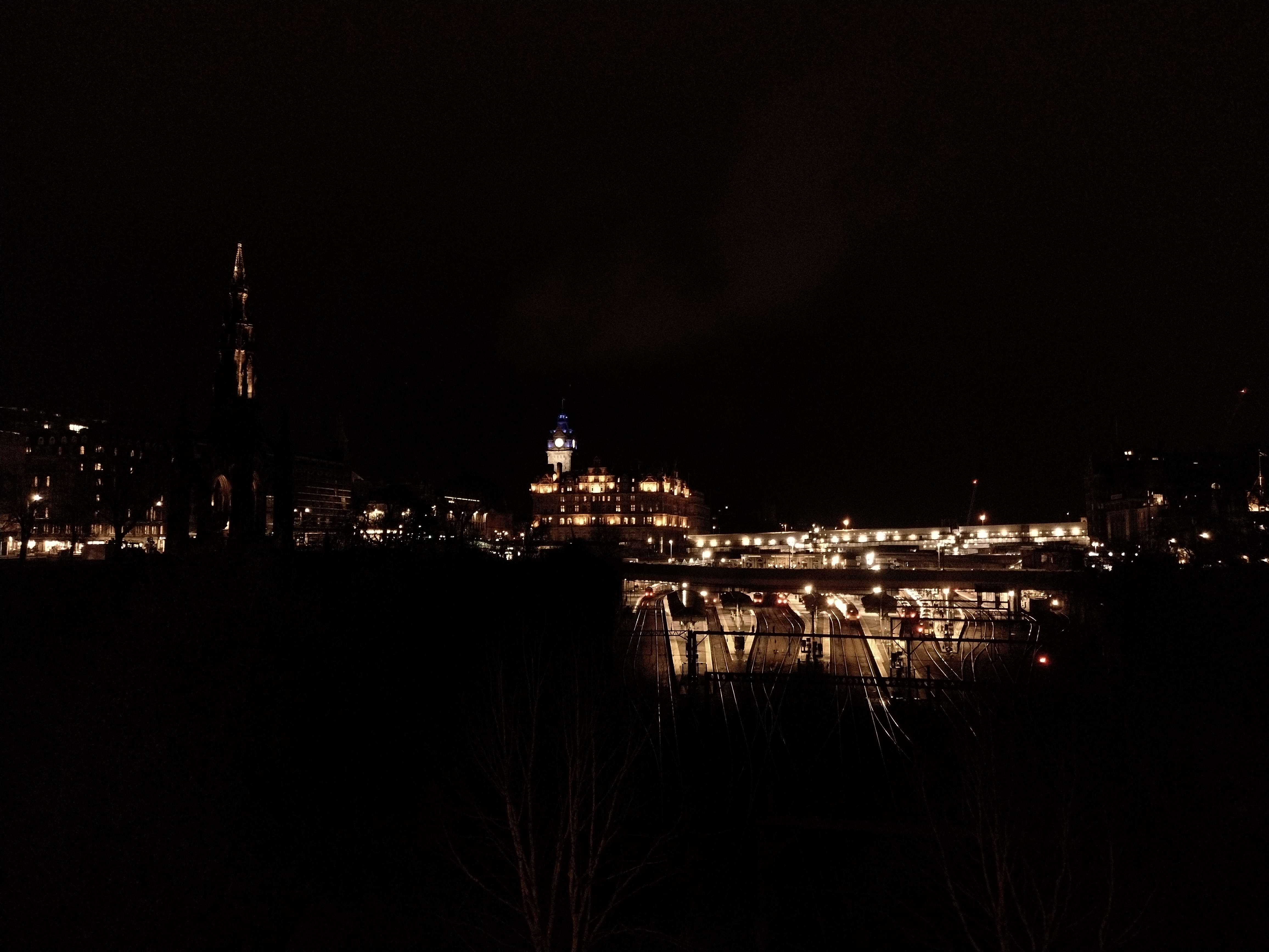 |
| IMG_20250708_123952660_HDR.jpg | Oaks in Sherwood Forest | 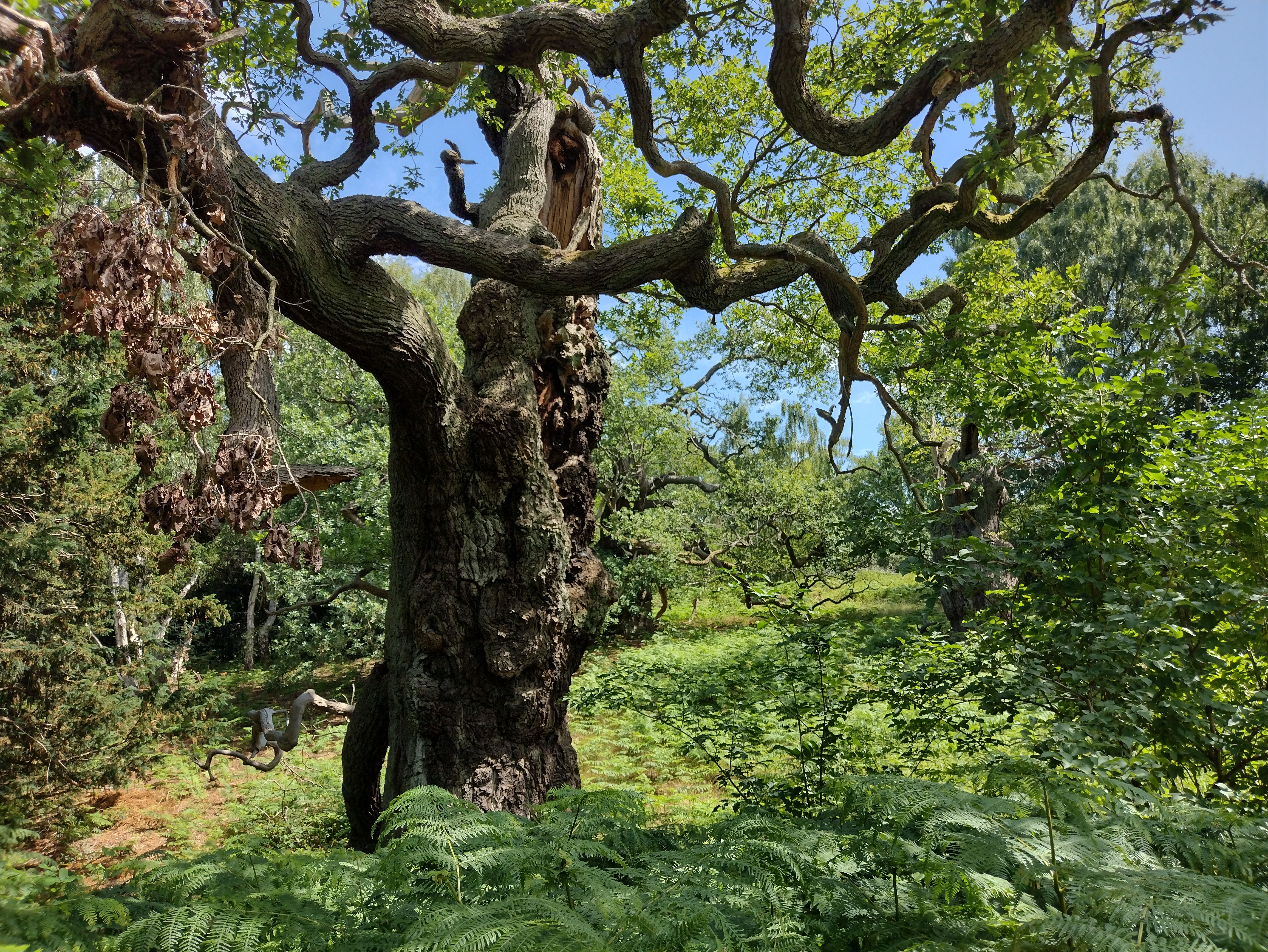 |
| IMG_20250709_115528589_HDR.jpg | Rievaulx Abbey | 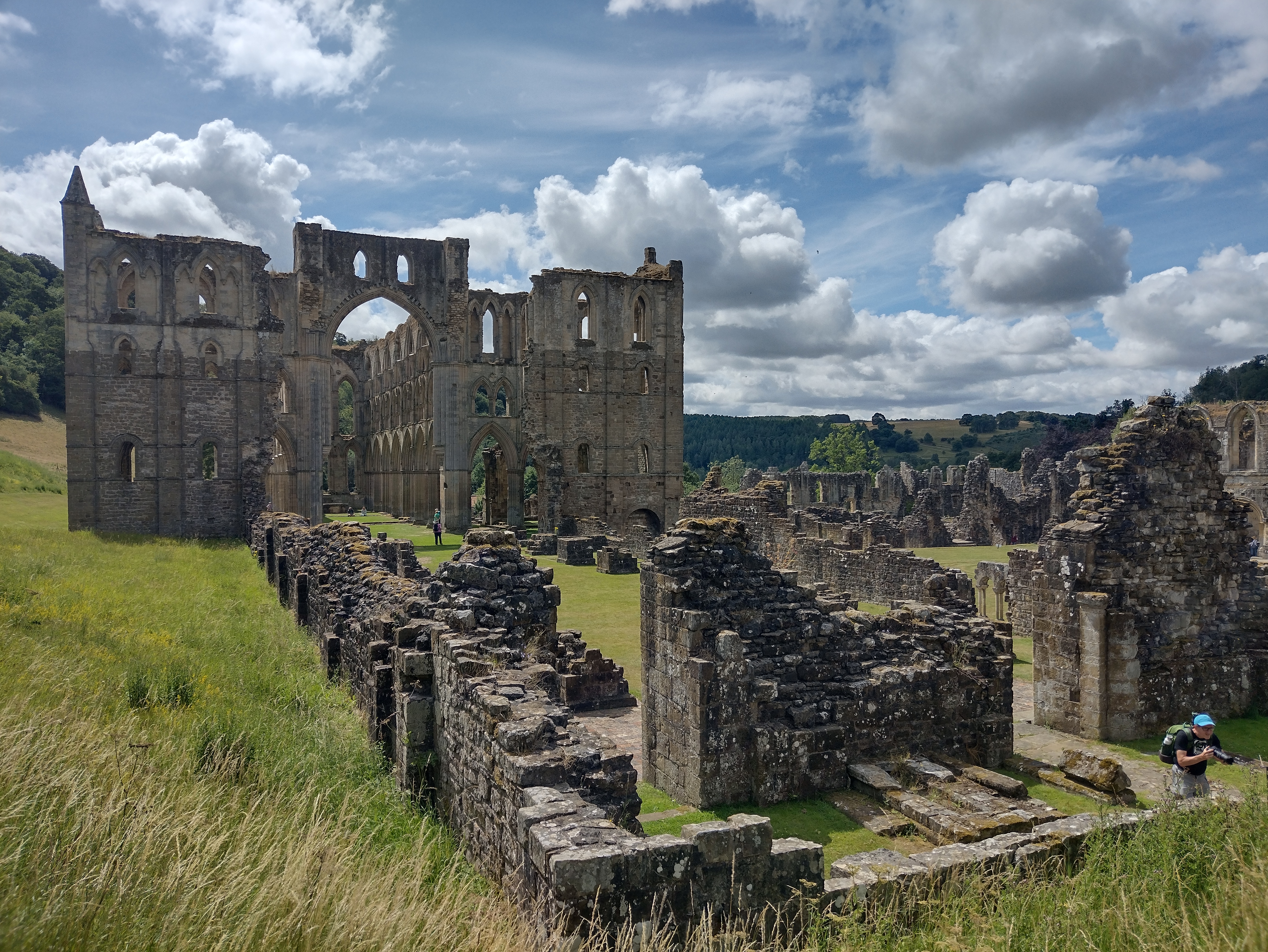 |
| IMG_20250709_153415337_HDR.jpg | Hawnby Hill towards the south | 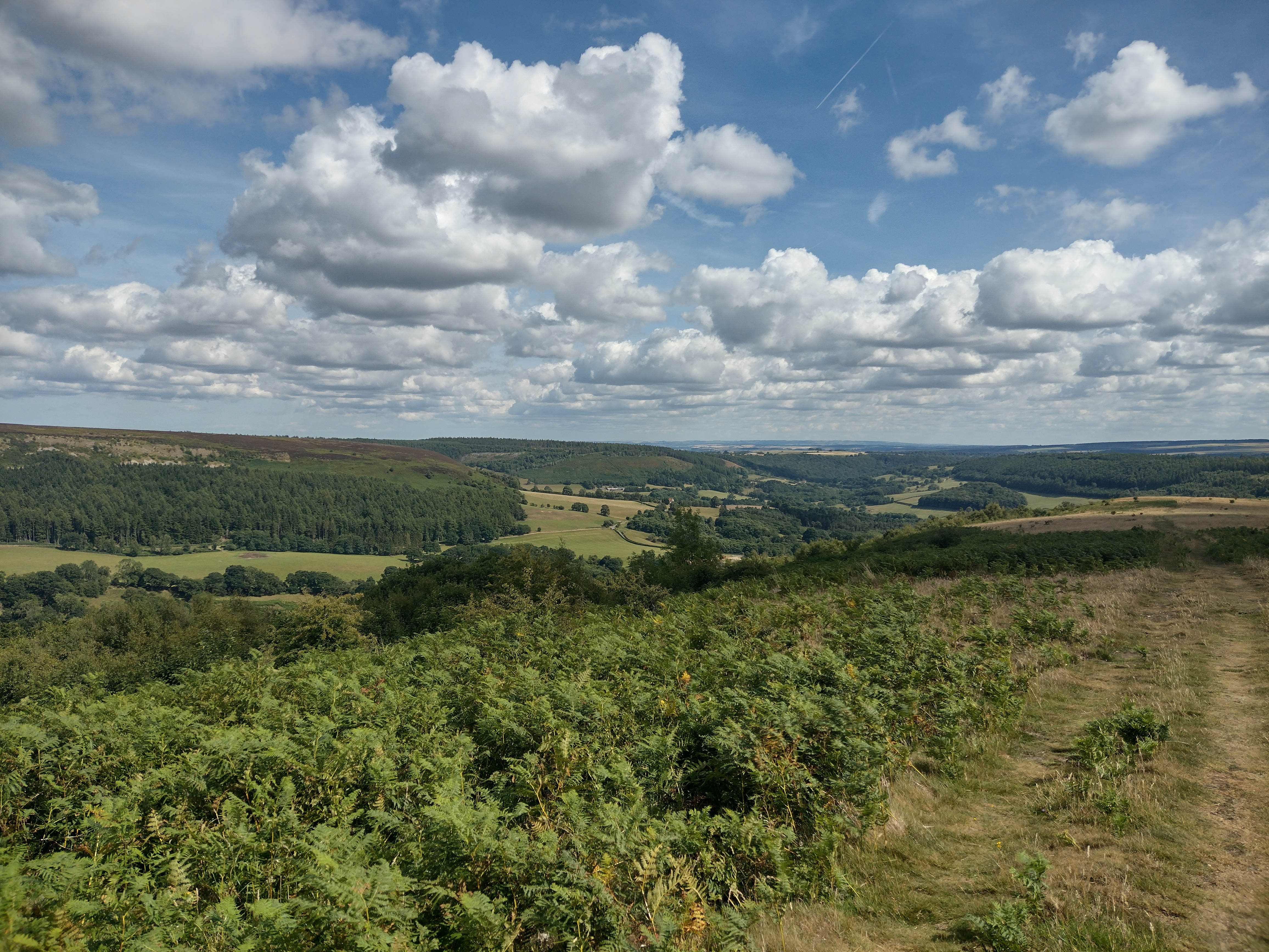 |
| IMG_20250709_170818612_HDR.jpg | Easterside Hill from Moor Gate |  |
| IMG_20250710_095655616.jpg | Hole of Horcum 180 deg panorama |  |
| IMG_20250710_110005099_HDR.jpg | North Yorkshire Moors Steam train |  |
| IMG_20250710_121844124_HDR.jpg | Sign and Sheep |  |
| IMG_20250710_173623411.jpg | Hole of Horcum 180deg afternoon panorama |  |
| IMG_20250816_112049551_HDR.jpg | Valey of Blane Water with Dumgoyne and Dumfoyn just below the clouds |  |
| IMG_20250816_152116.JPG | First view towards Conic Hill |  |
| IMG_20250816_172437.JPG | next to Garadhban Forest towards Loch Lomond |  |
| IMG_20250816_174007003_HDR.jpg | Loch Lomond and Conic Hill in the afternoon | 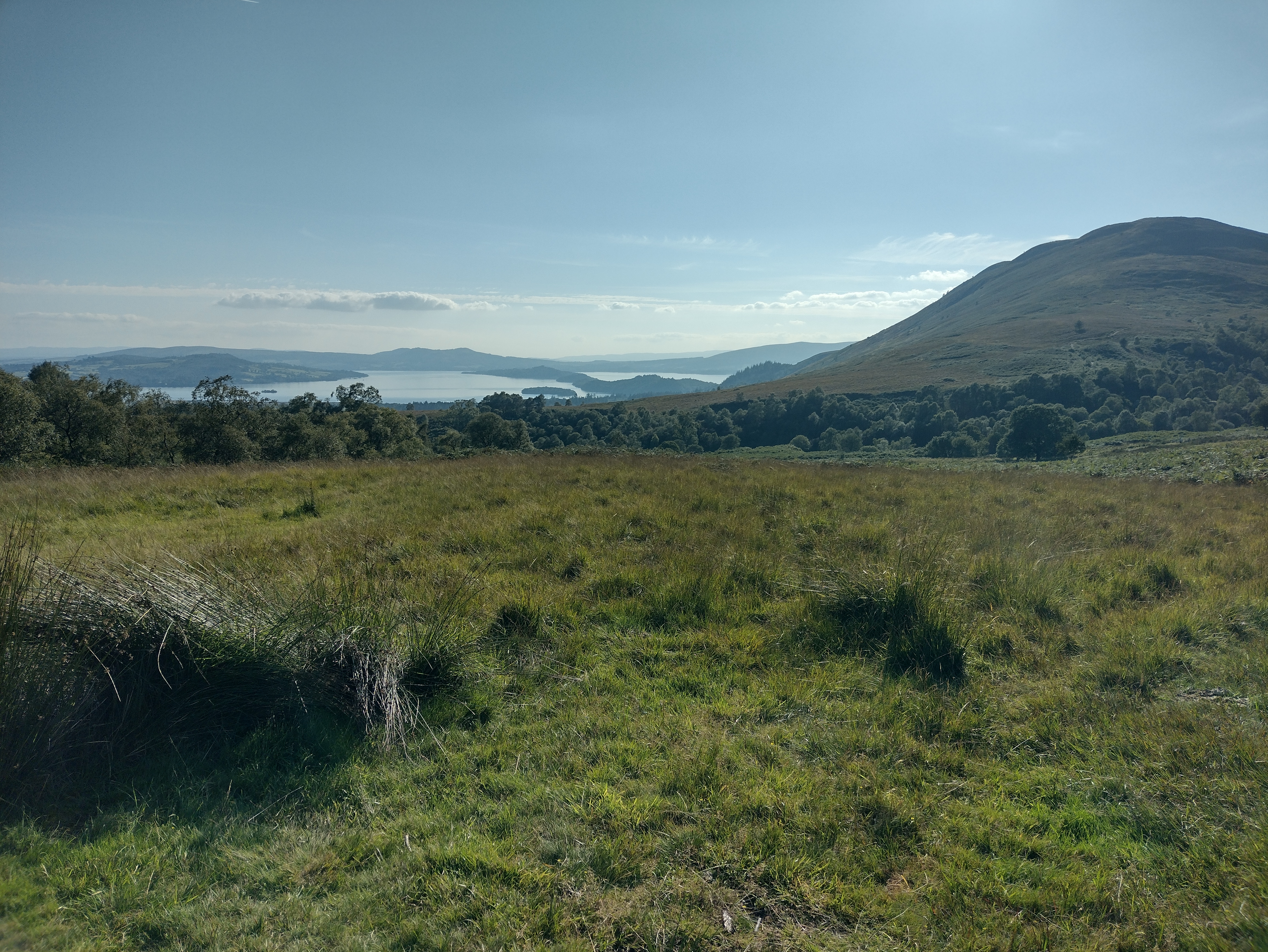 |
| IMG_20250817_063654.JPG | Loch Lomond and Conic Hill at sunrise | 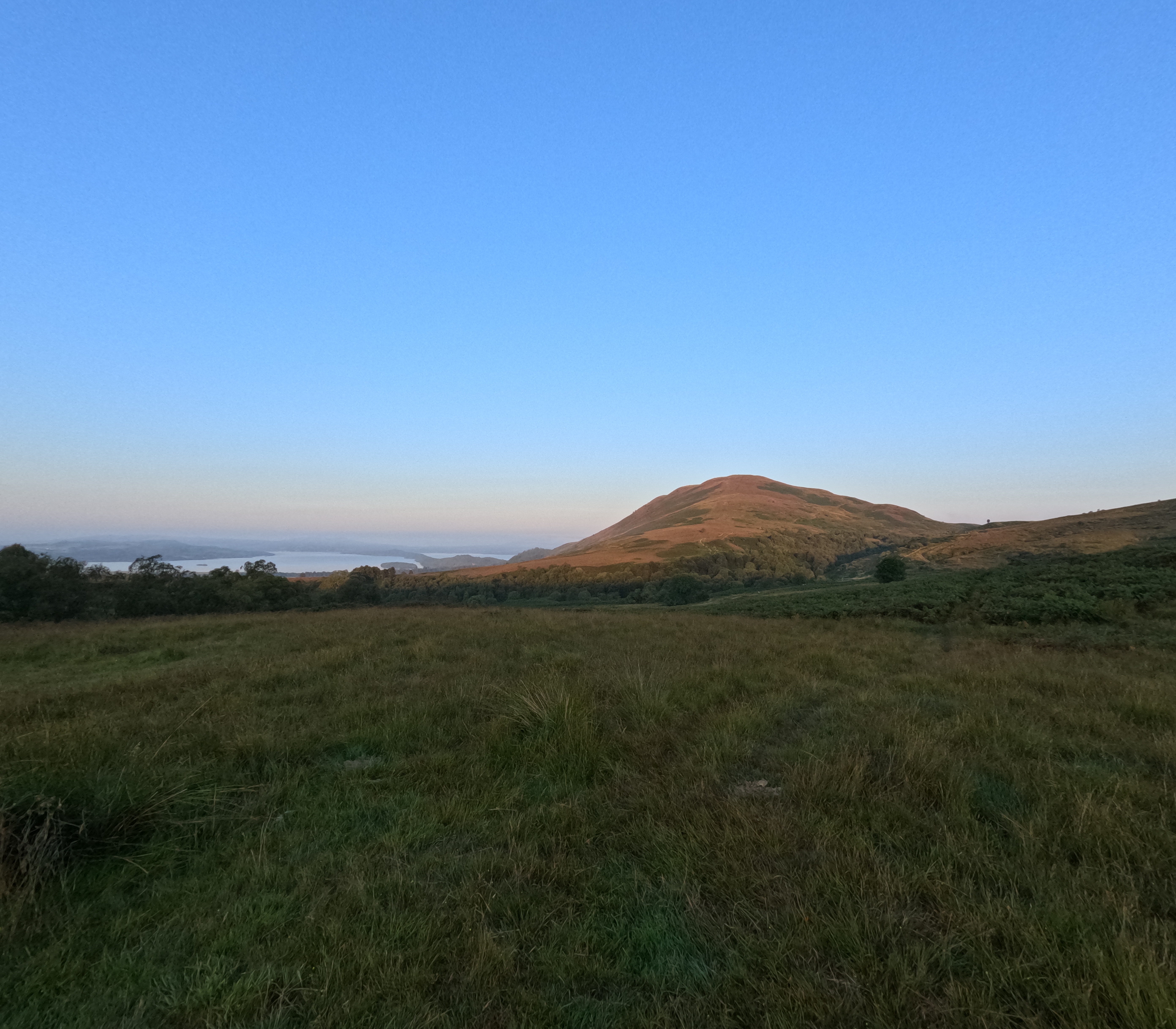 |
| IMG_20250817_065839.JPG | Cloud bank in front of Conic Hill | 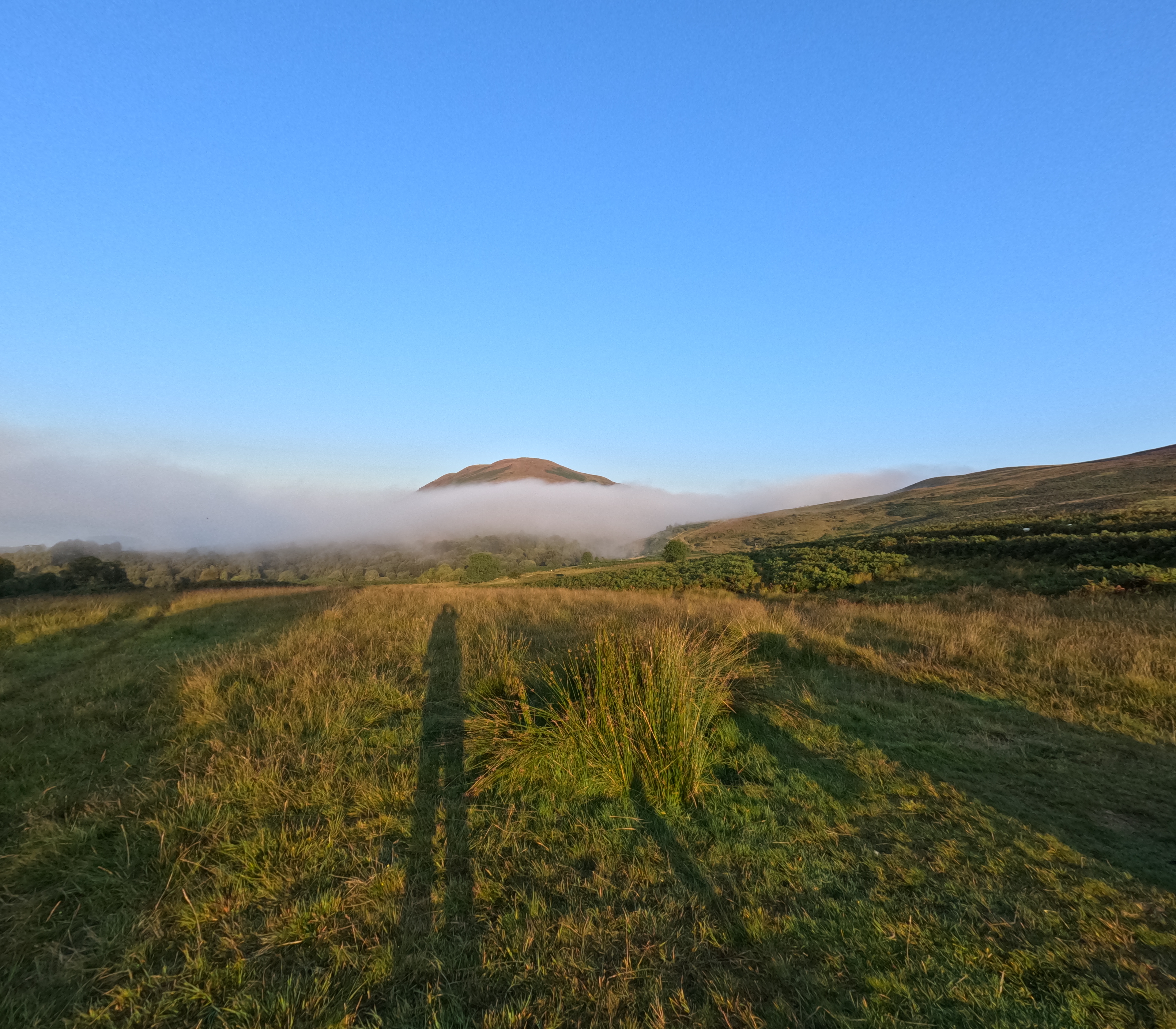 |
| IMG_20250817_083157.JPG | Heather around Burn of Mar valley | 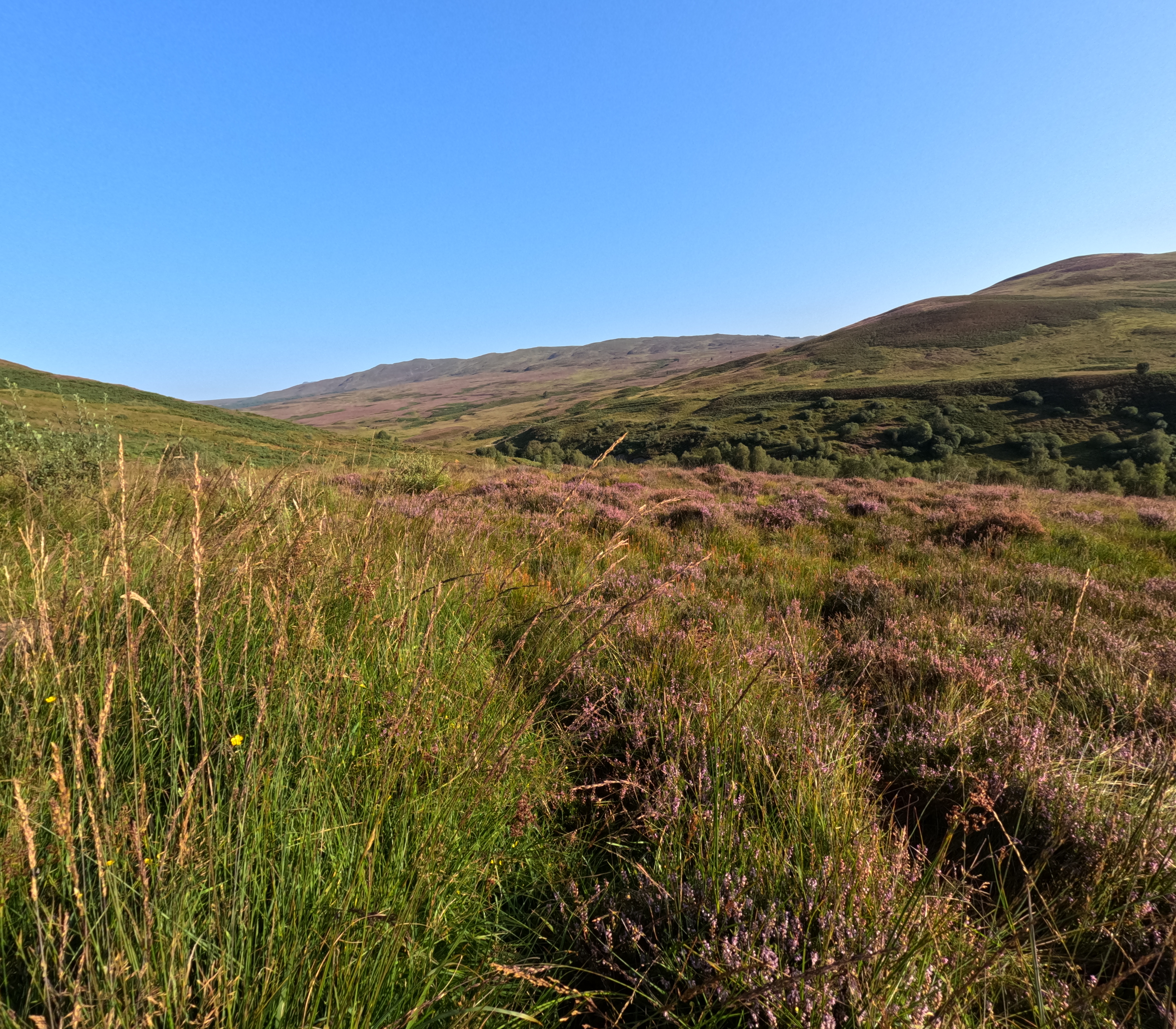 |
| IMG_20250817_100208577.jpg | Loch Lomond in the morning | 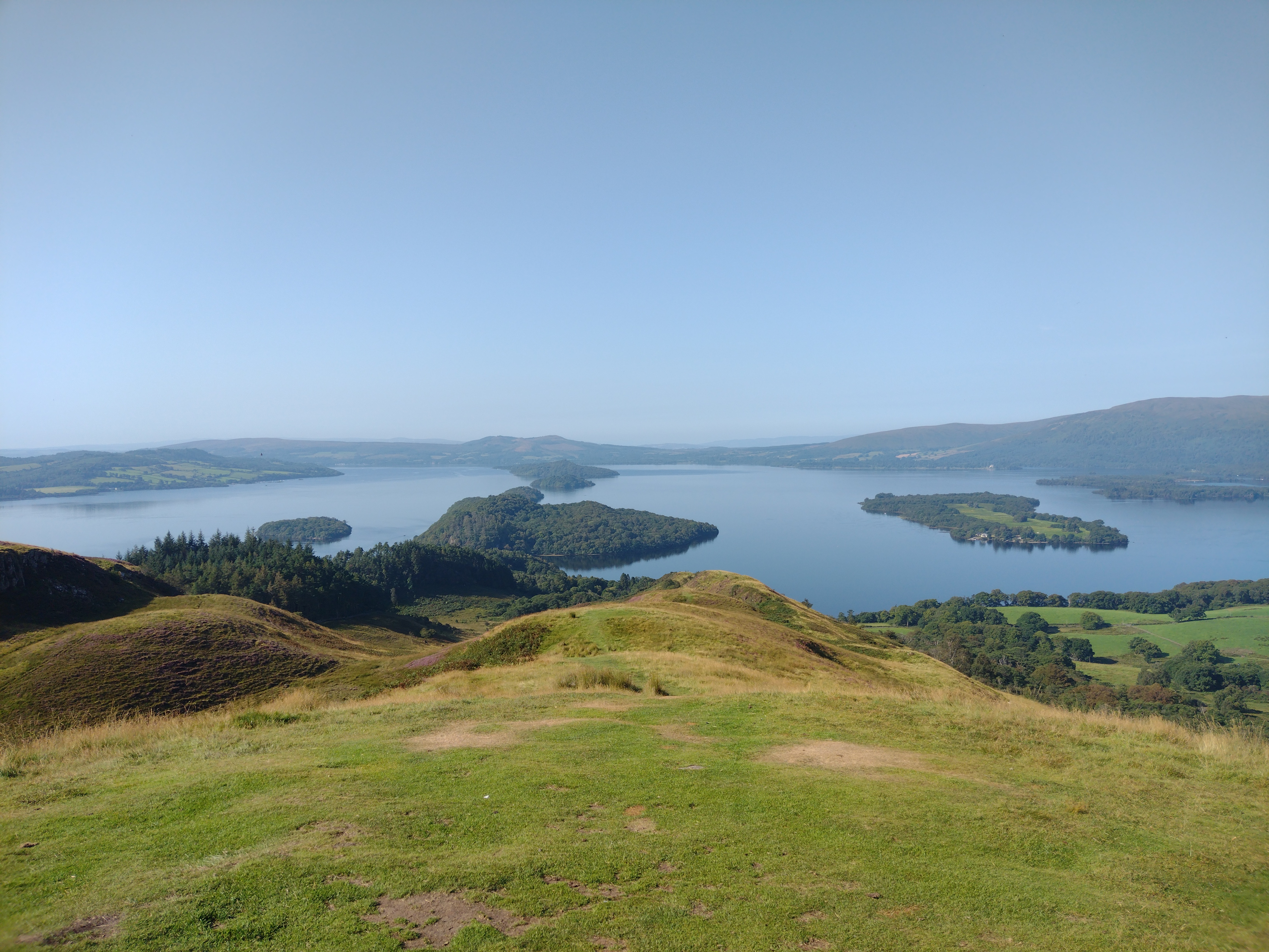 |
| IMG_20250818_070152200_HDR.jpg | Loch Lomond, Beinn Dubh and cloud bank in the morning | 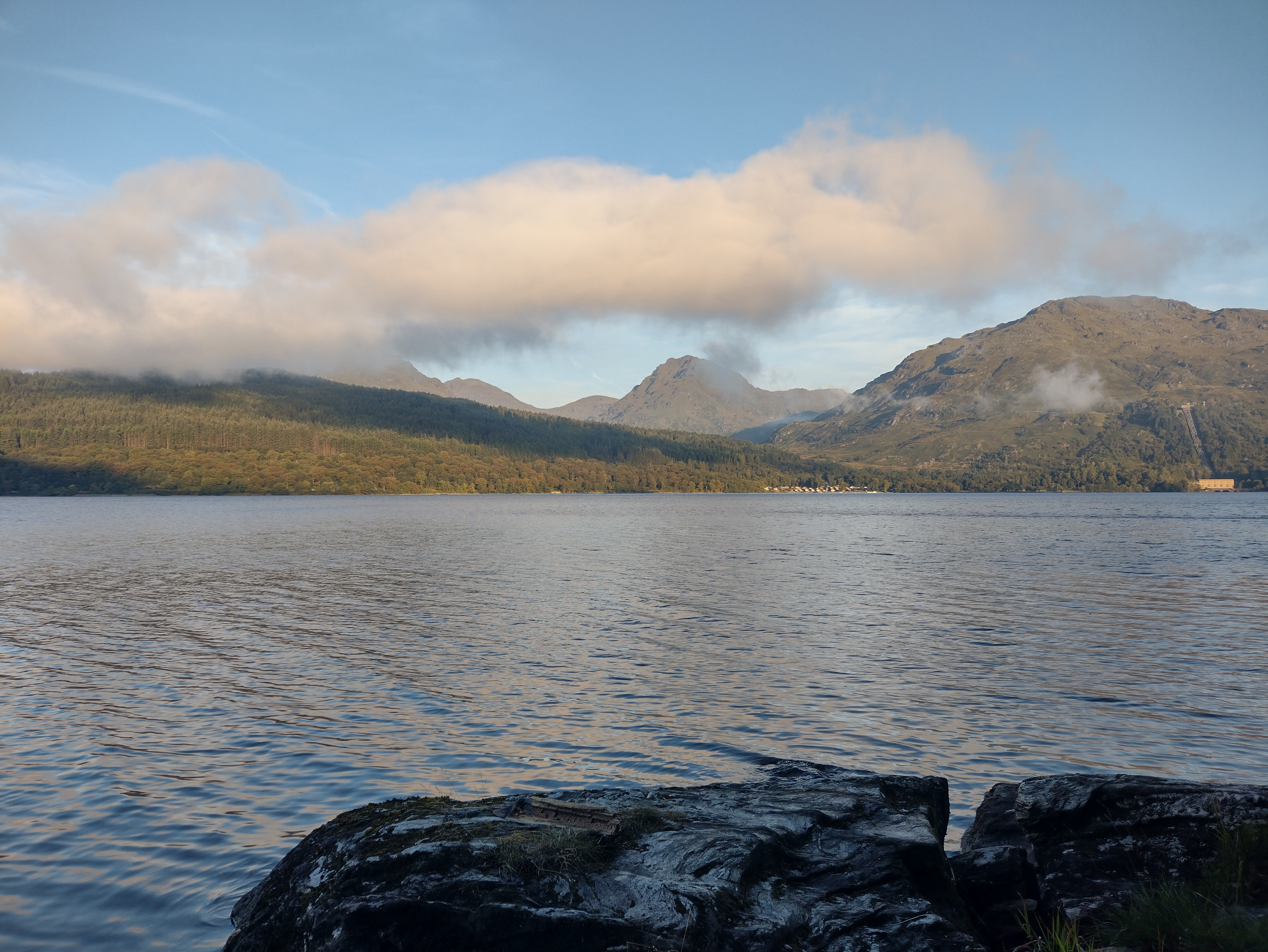 |
| IMG_20250818_095306.JPG | West Highland Way through brake | 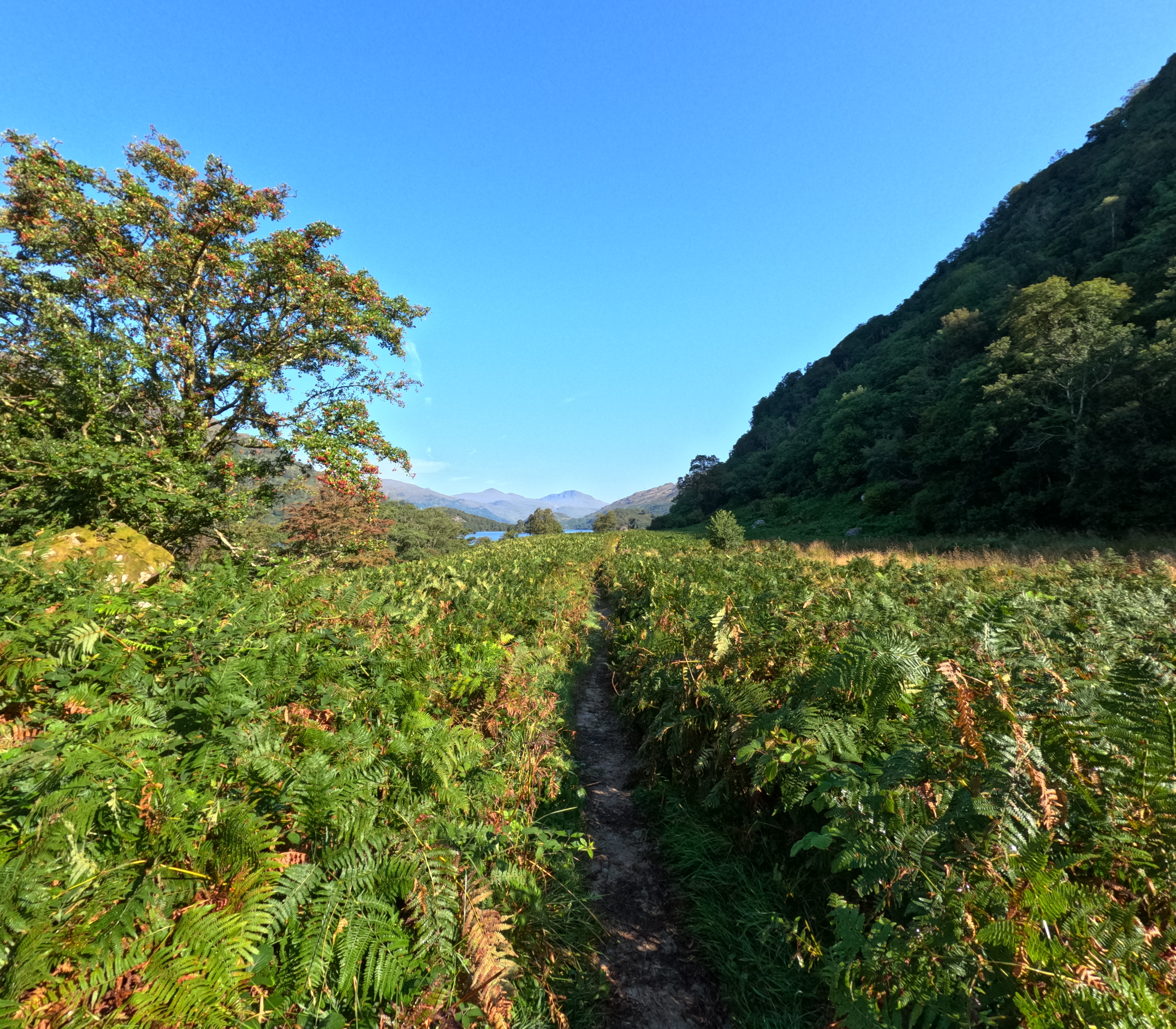 |
| IMG_20250818_120820.JPG | Ruins of Doune | 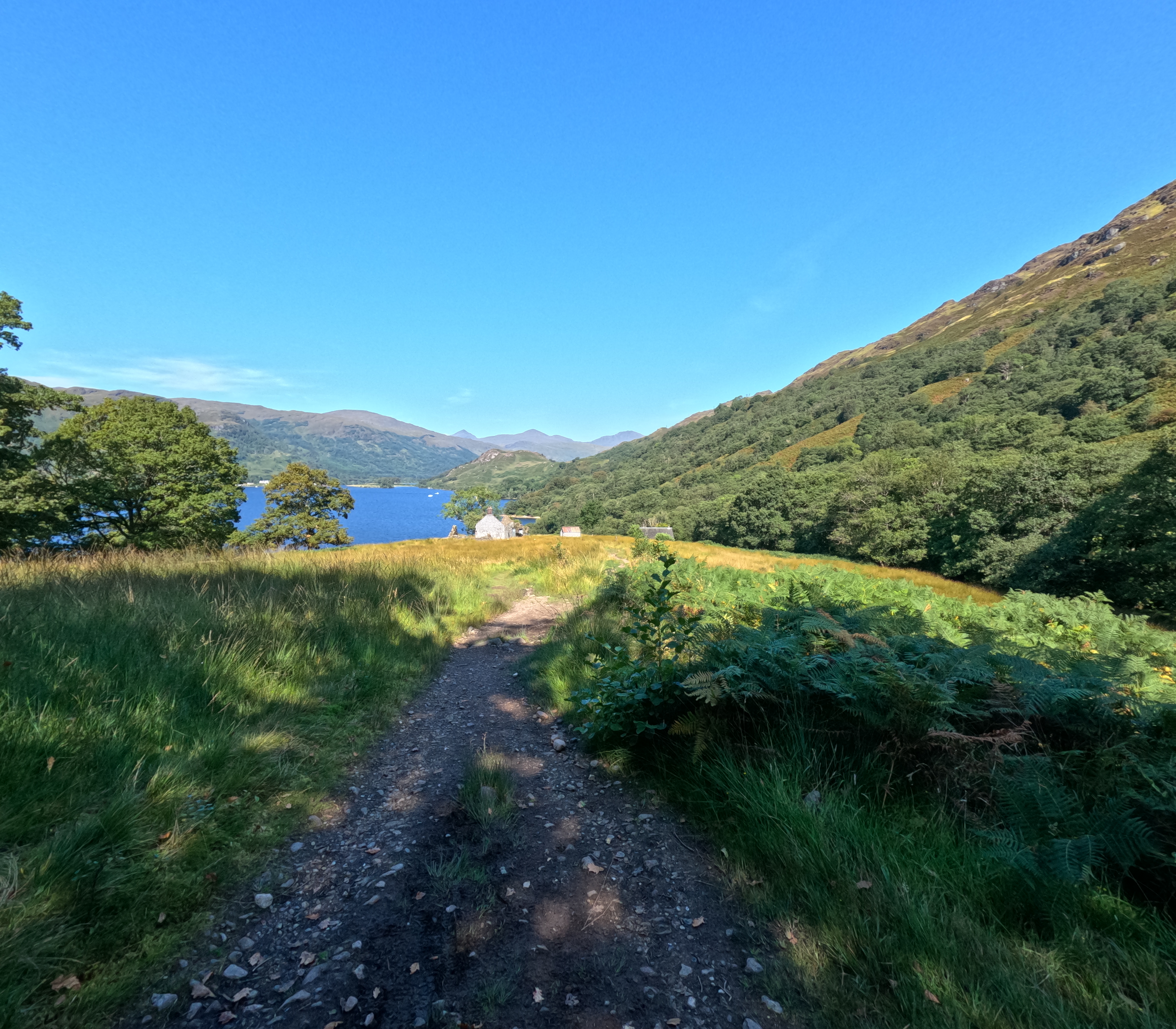 |
| IMG_20250818_125151619_HDR.jpg | Loch Lomond from northern end | 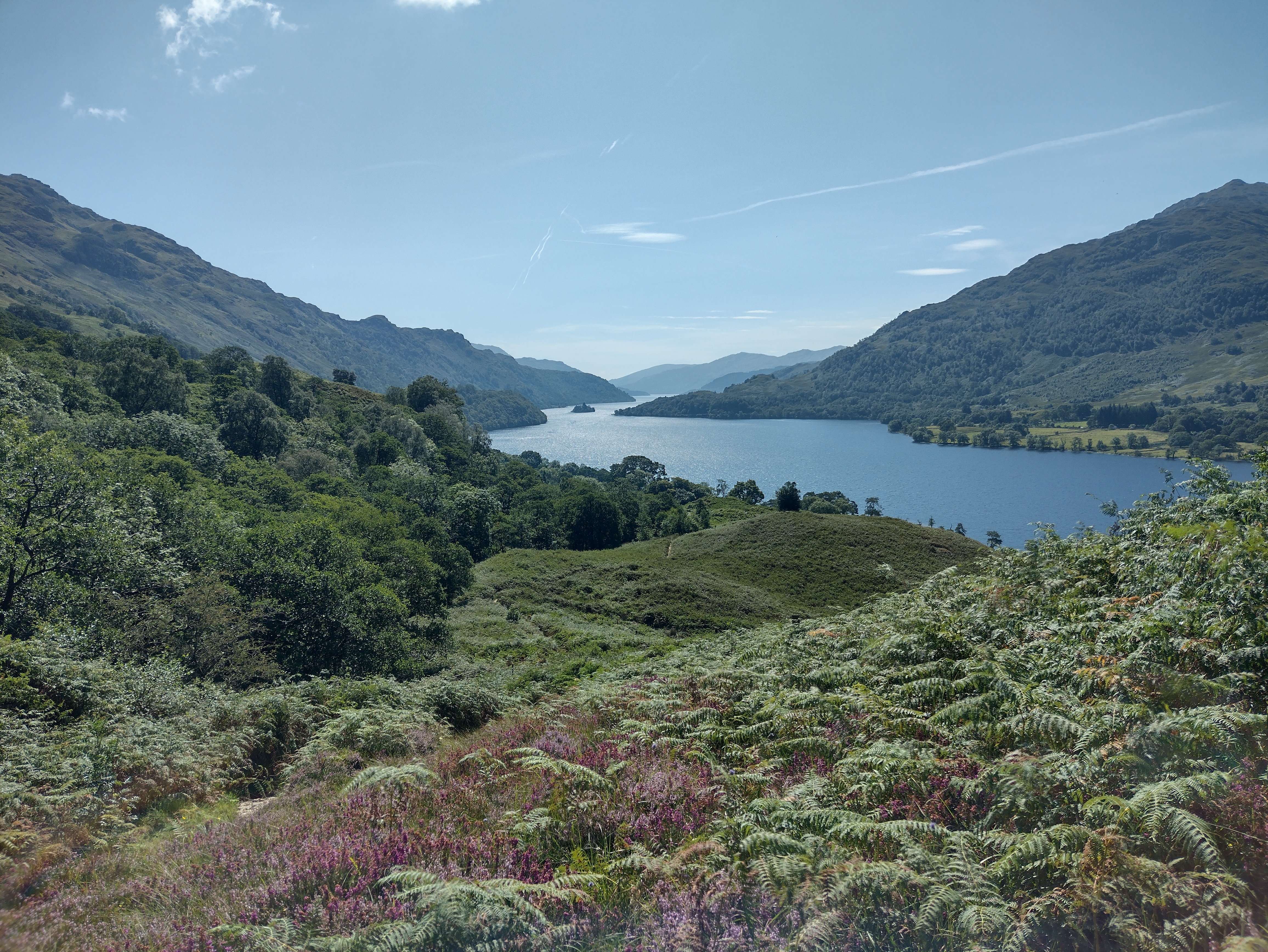 |
| IMG_20250818_194012568_HDR.jpg | Falloch Valey and mountains around the spring | 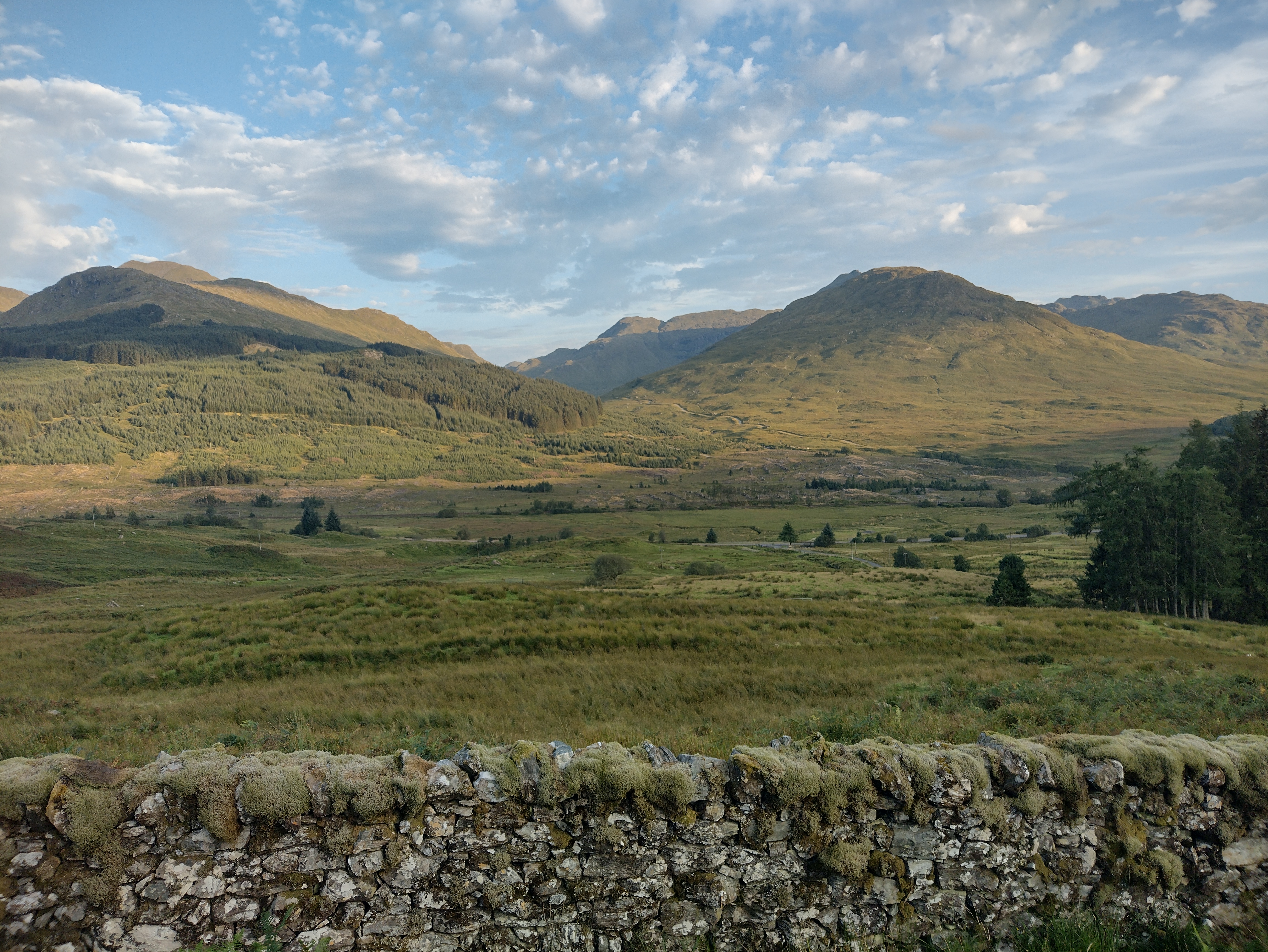 |
| IMG_20250819_125617994_HDR.jpg | AlltSlochd an t-Seipine valley close to the spring | 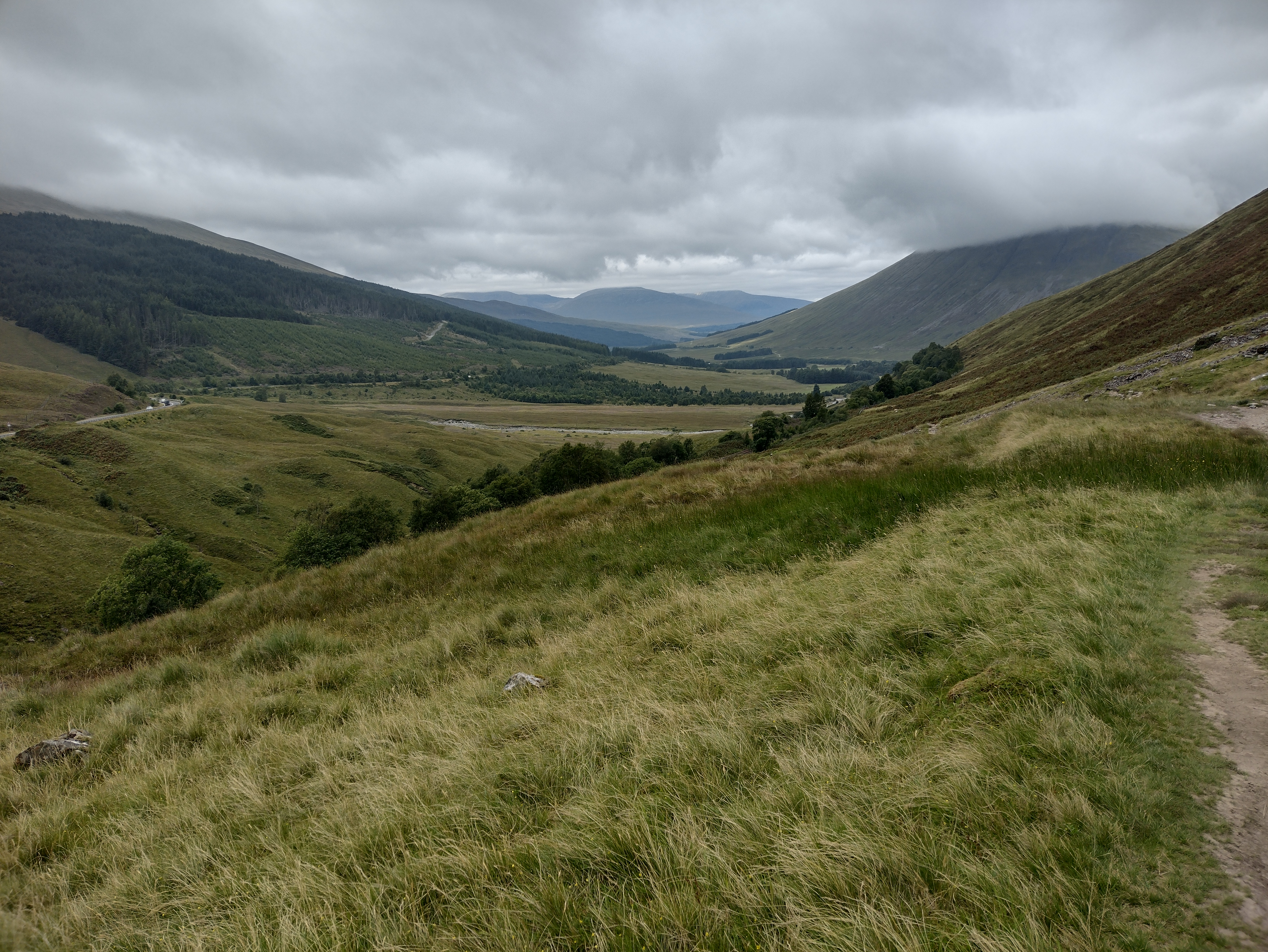 |
| IMG_20250819_140144.JPG | Allt Kinglass Viaduct and Beinn a Chaisteil | 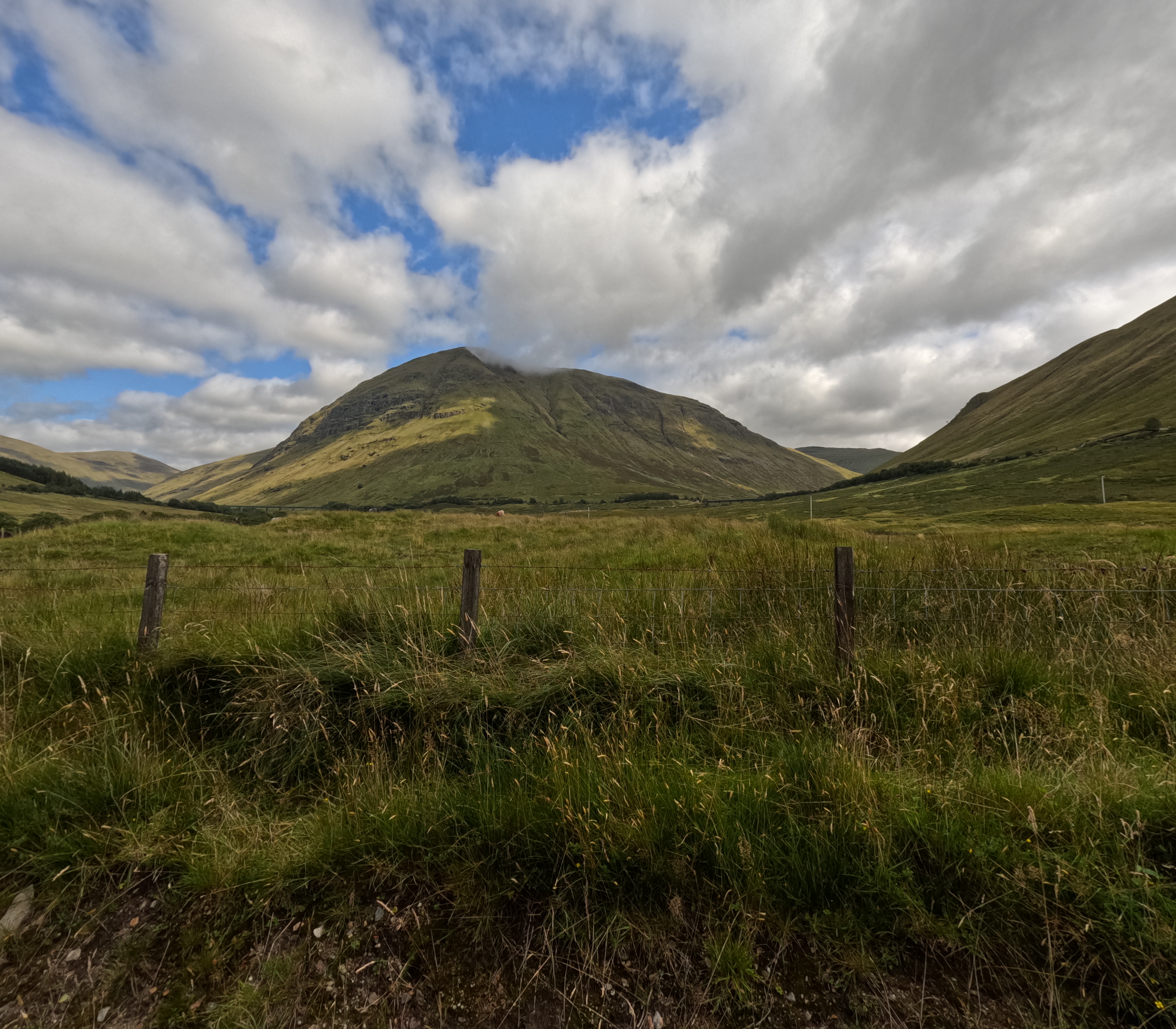 |
| IMG_20250819_161716.JPG | Bridge of Orchy | 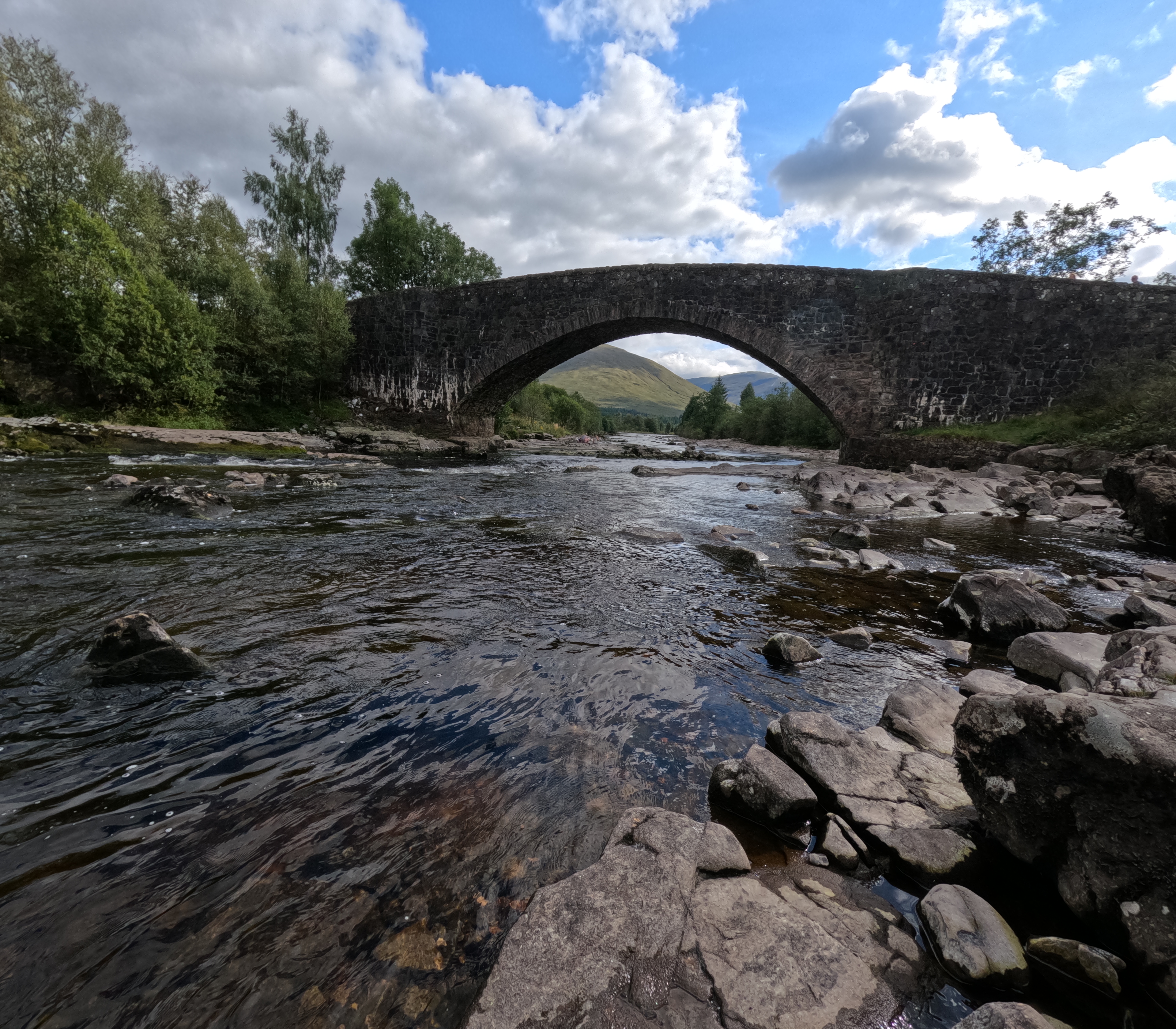 |
| IMG_20250819_161725.JPG | River Orchy | 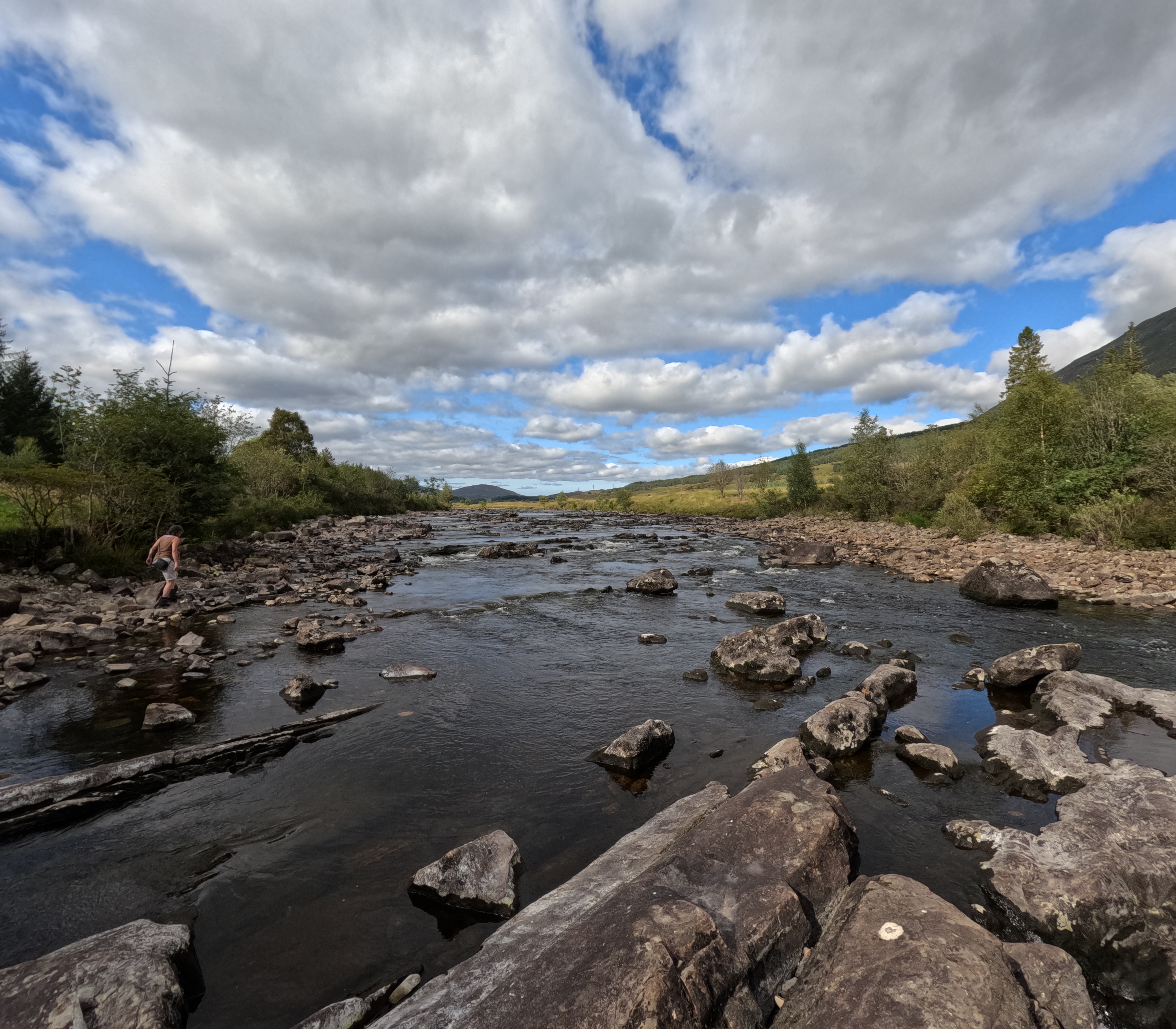 |
| IMG_20250819_164457.JPG | View back towards Bridge of Orchy and the spring of AlltSlochd an t-Seipine | 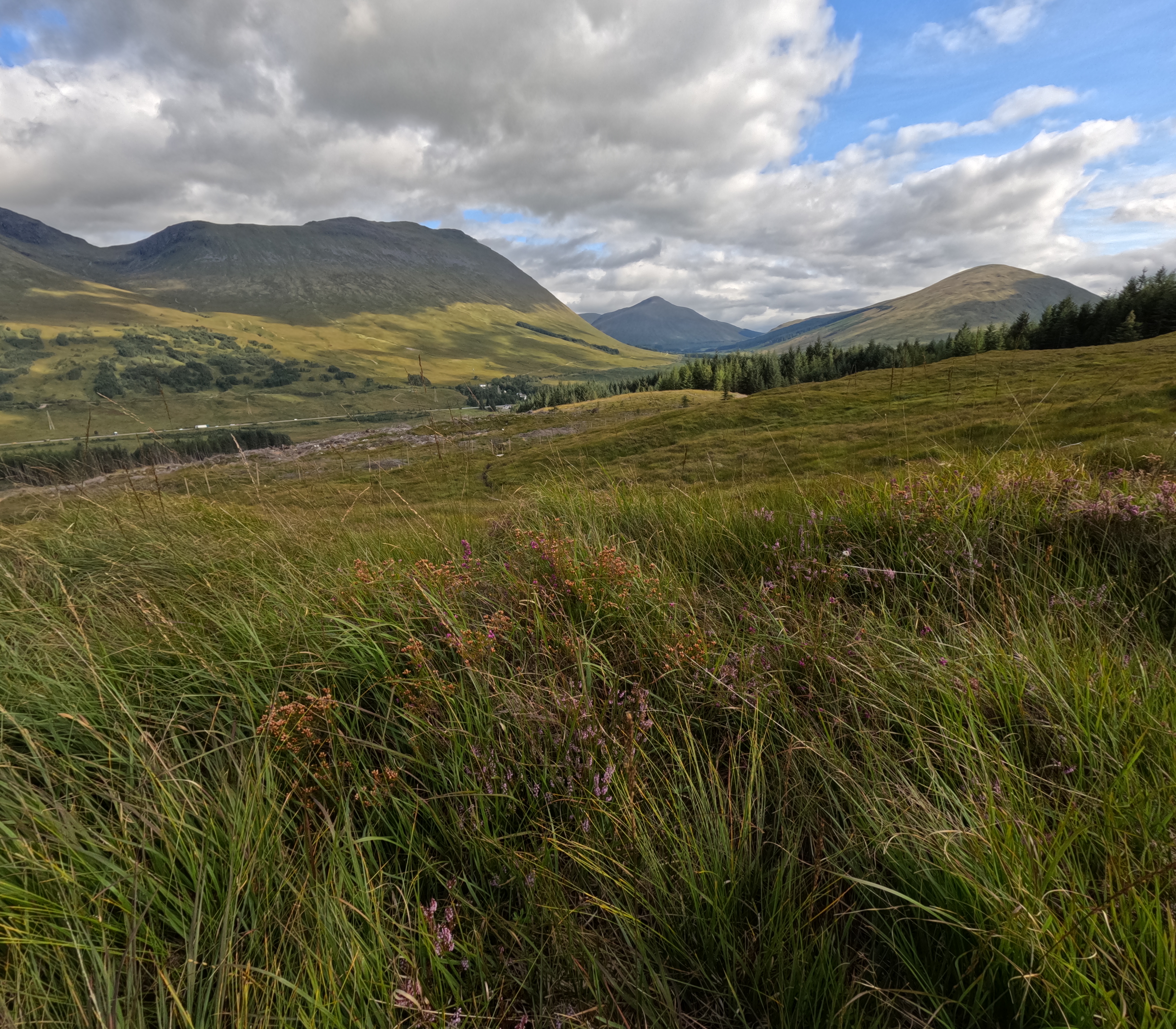 |
| IMG_20250819_170002.JPG | Luch Tulla from Mam Carraigh | 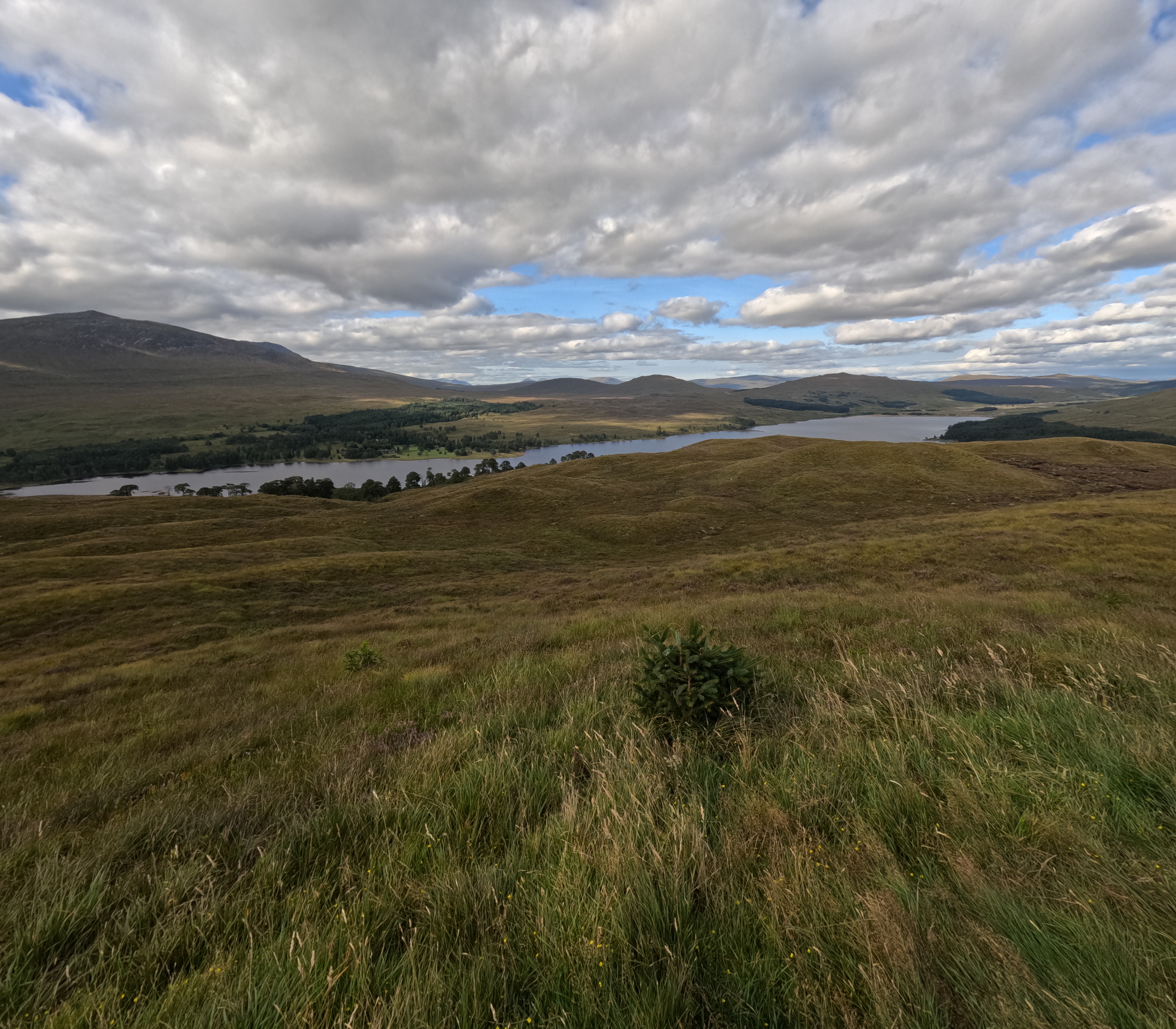 |
| IMG_20250820_074054.JPG | Evening on the West Highland Way through Rannoch Moor | 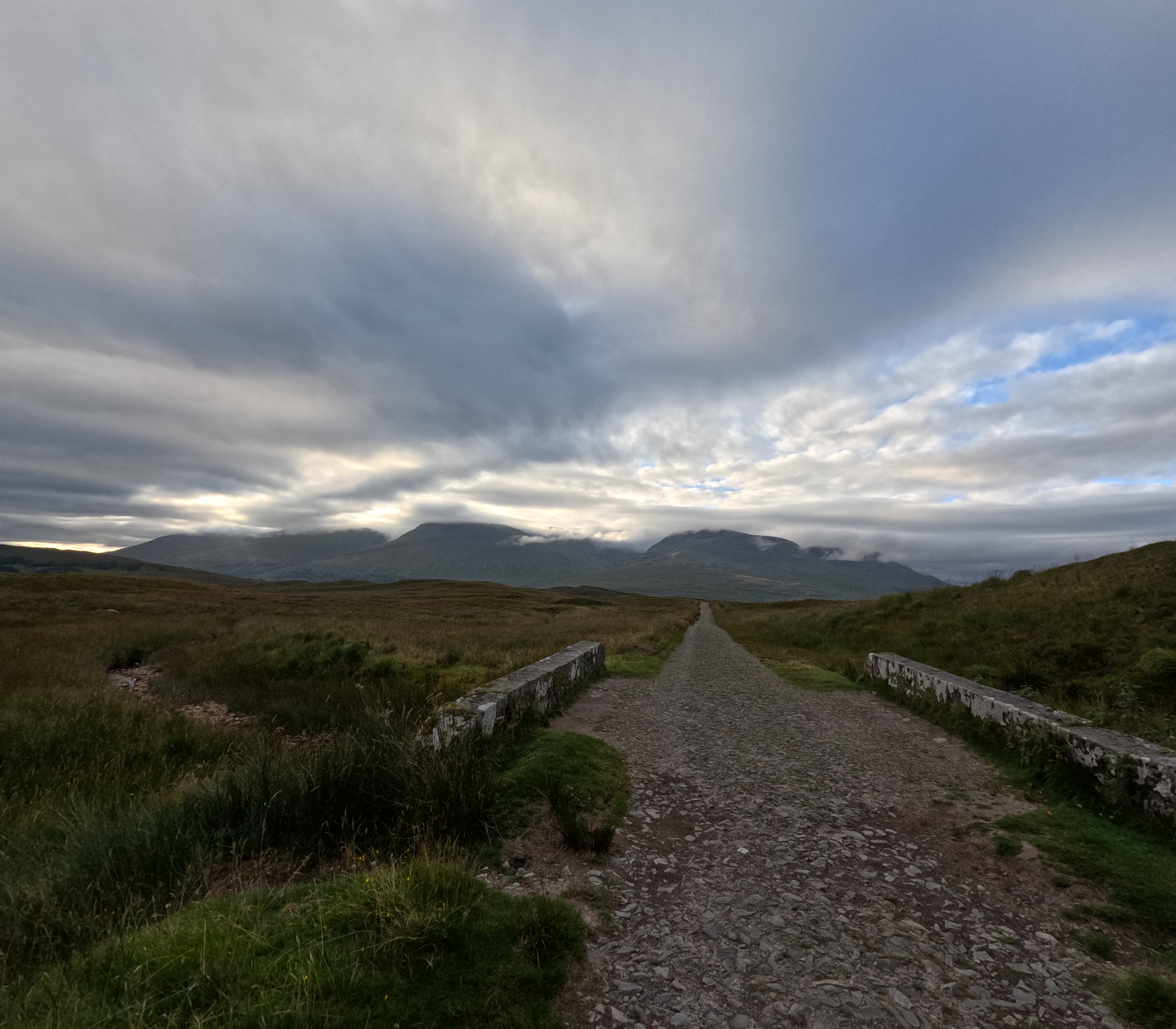 |
| IMG_20250820_091737.JPG | Rannoch Moor | 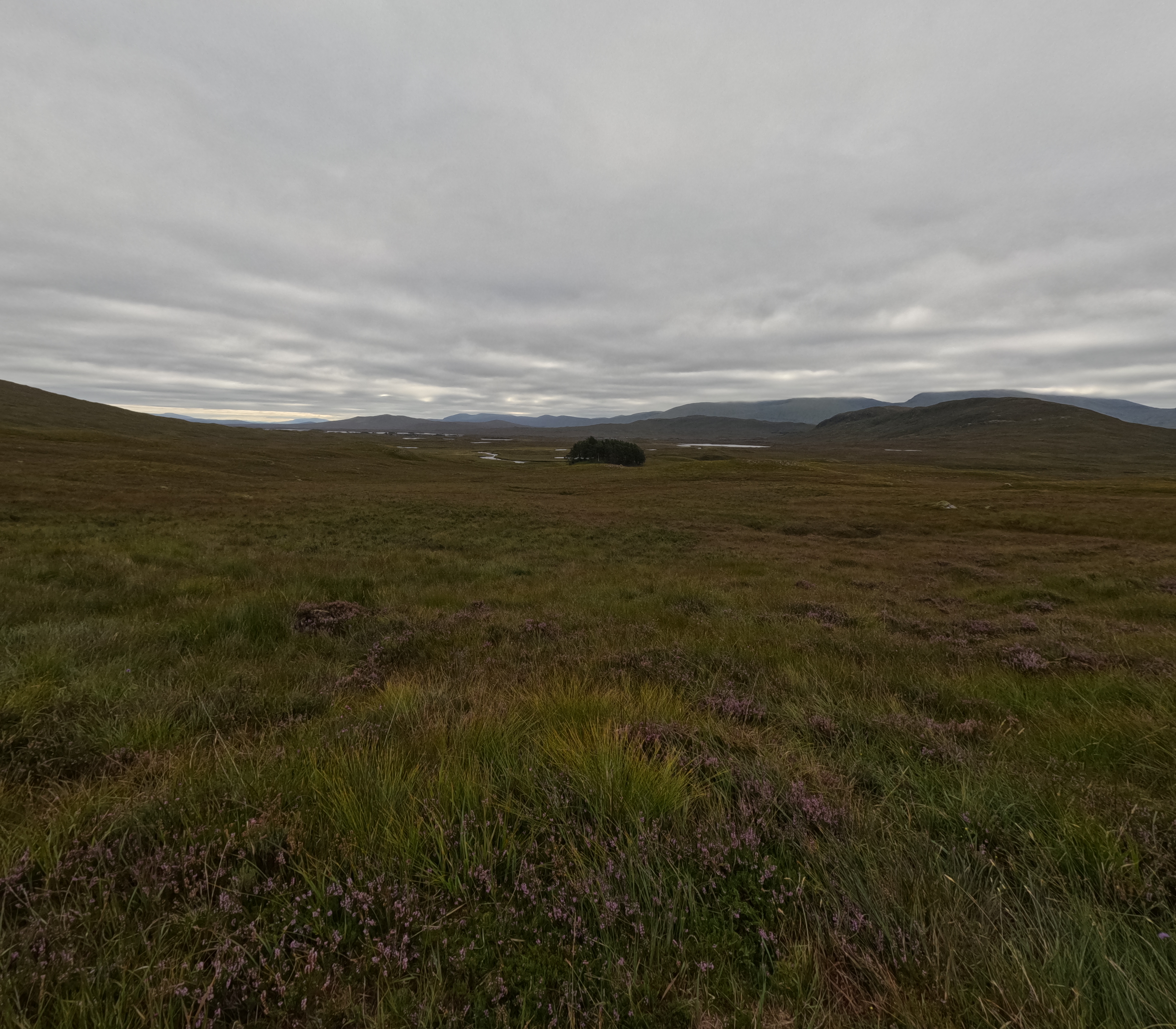 |
| IMG_20250820_140919629_HDR.jpg | Stob Dearg from Devils Staircase | 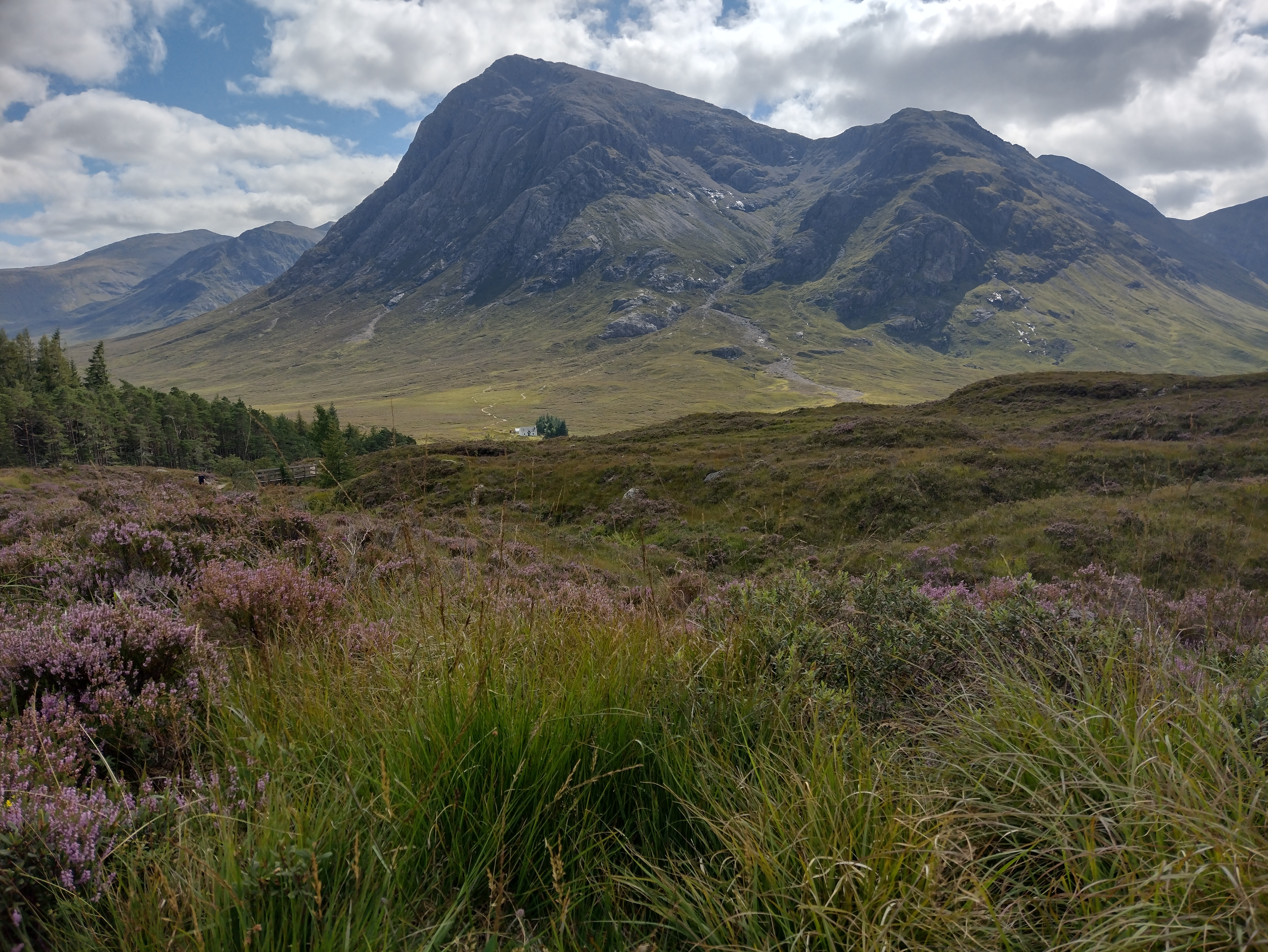 |
| IMG_20250820_143348.JPG | Stob Dearg and Glencoe from the top of Devils Staircase | 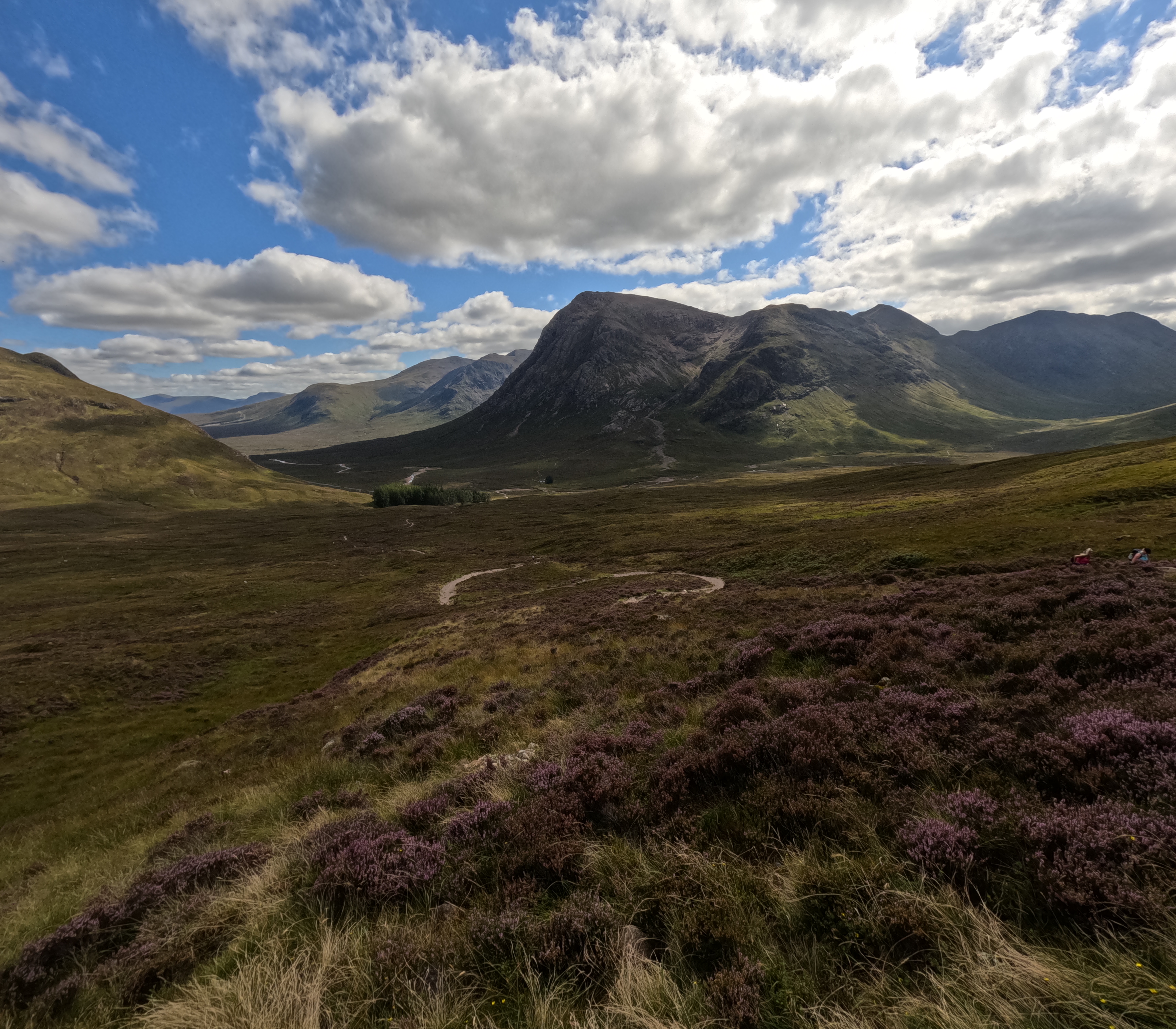 |
| IMG_20250820_145139.JPG | Leven valley from the top of Devils Staircase | 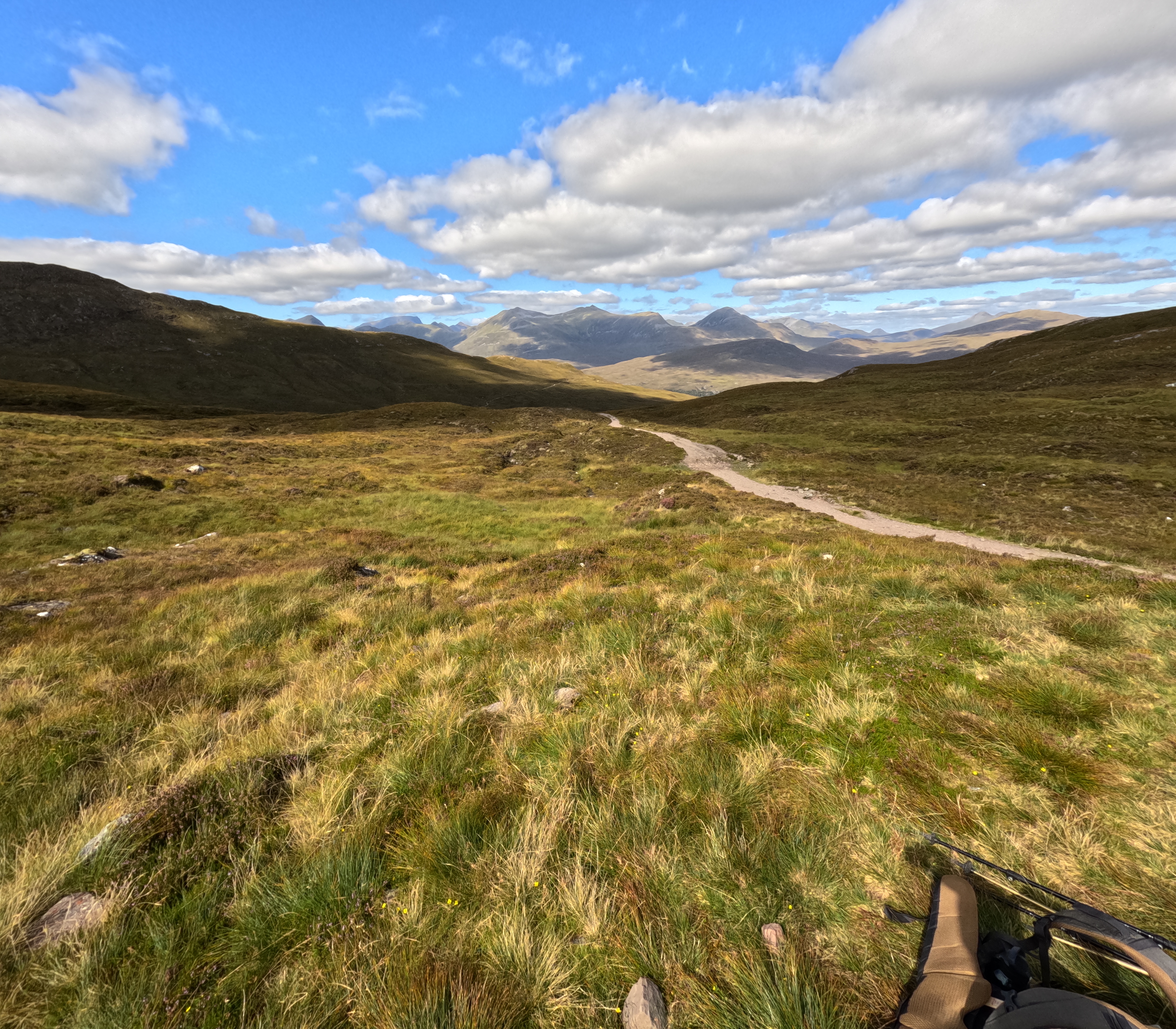 |
| IMG_20250820_160146.JPG | Blackwater Reservoir | 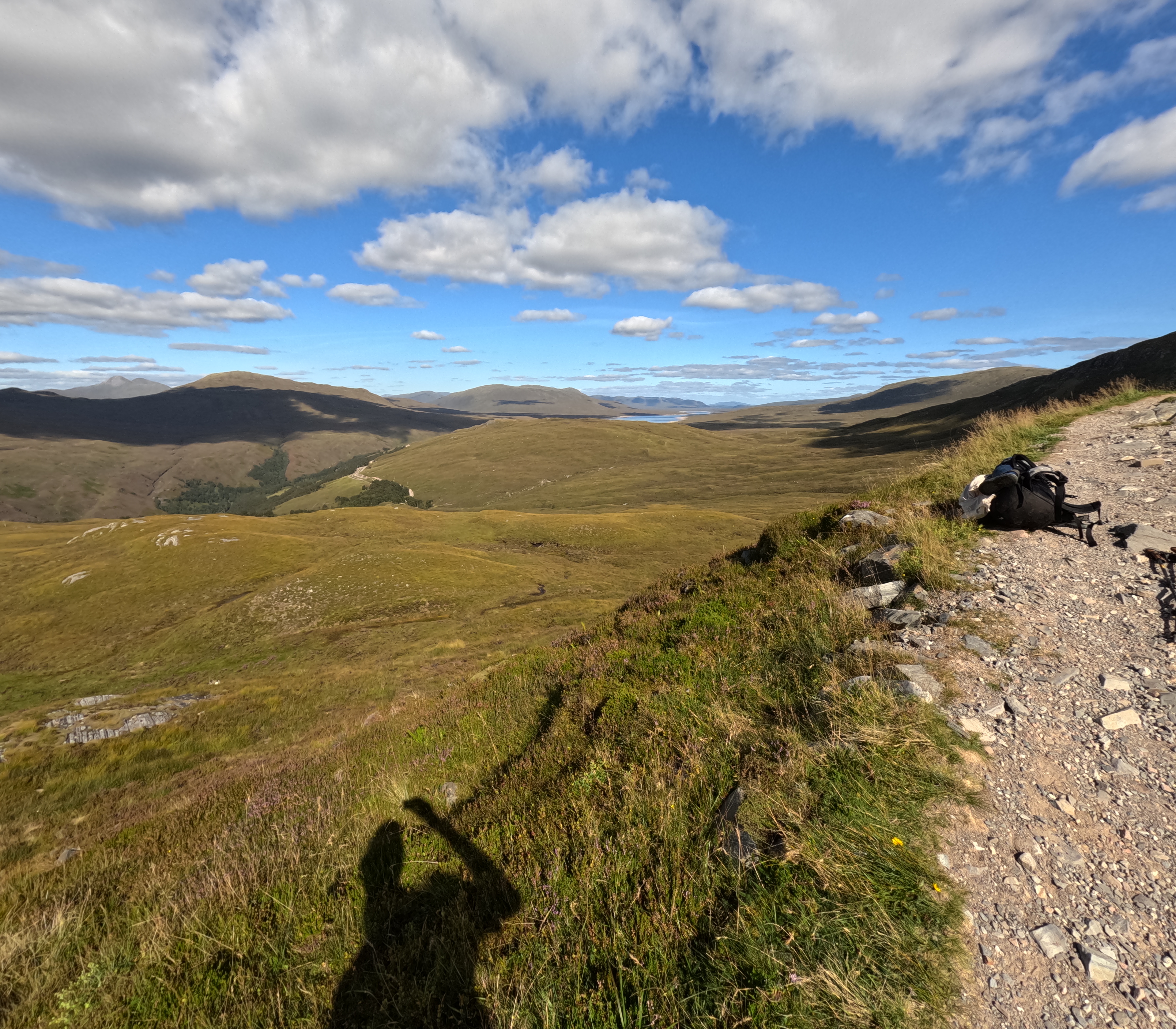 |
| IMG_20250820_160151.JPG | Leven Valley and mountains to the north | 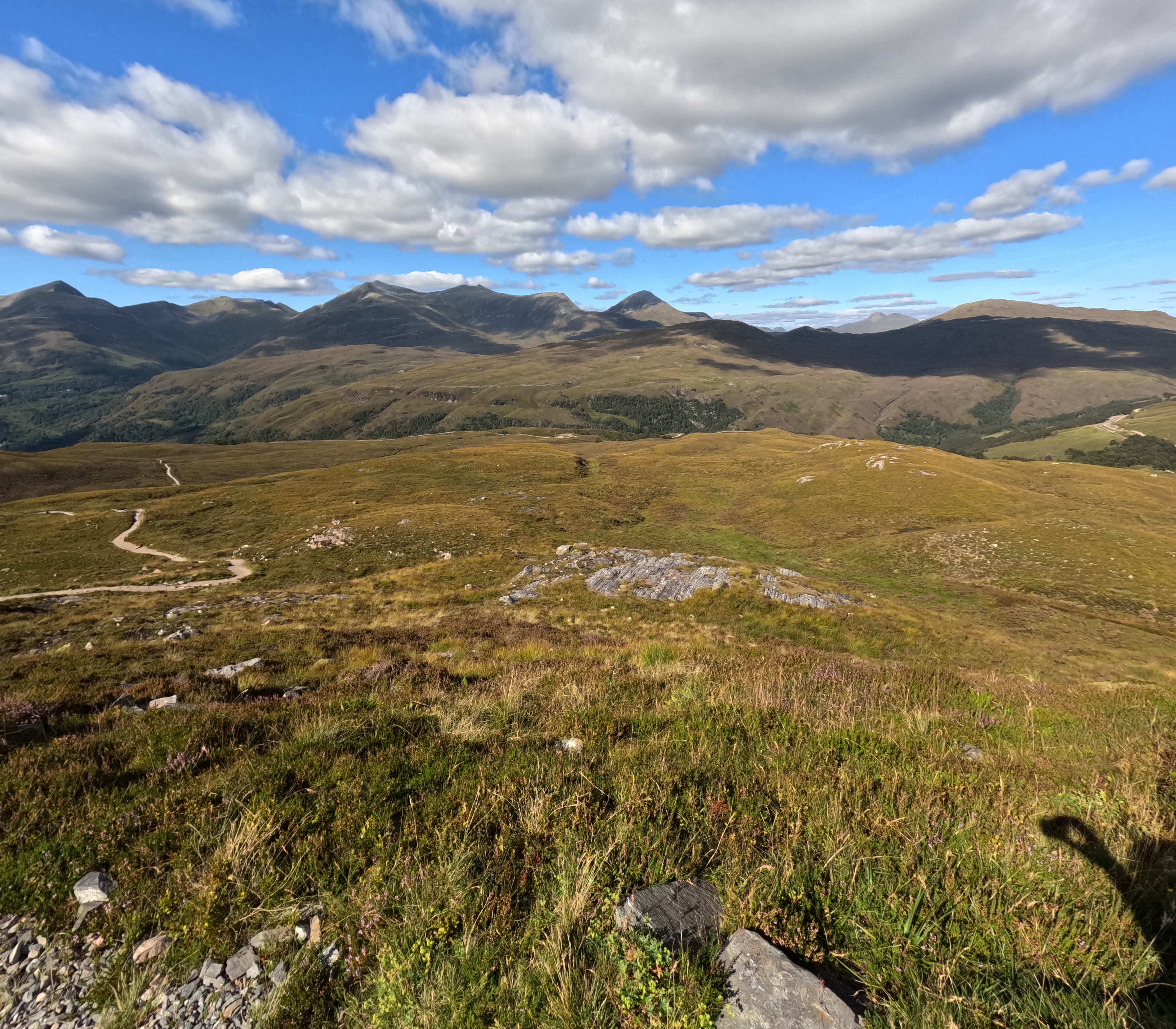 |
| IMG_20250820_165631.JPG | Leven Valley | 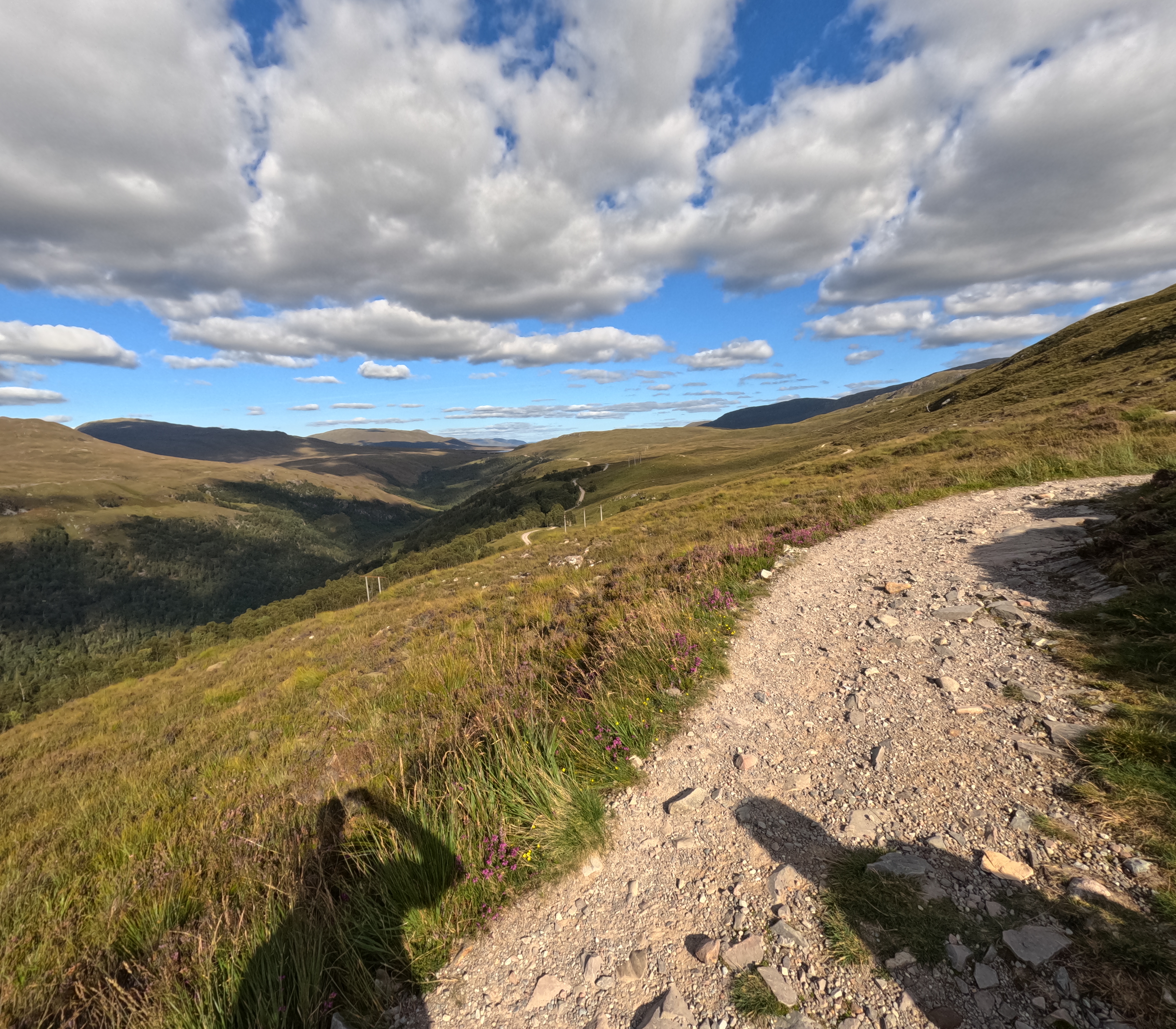 |
| IMG_20250820_194811374_HDR.jpg | Loch Leven in the sunset | 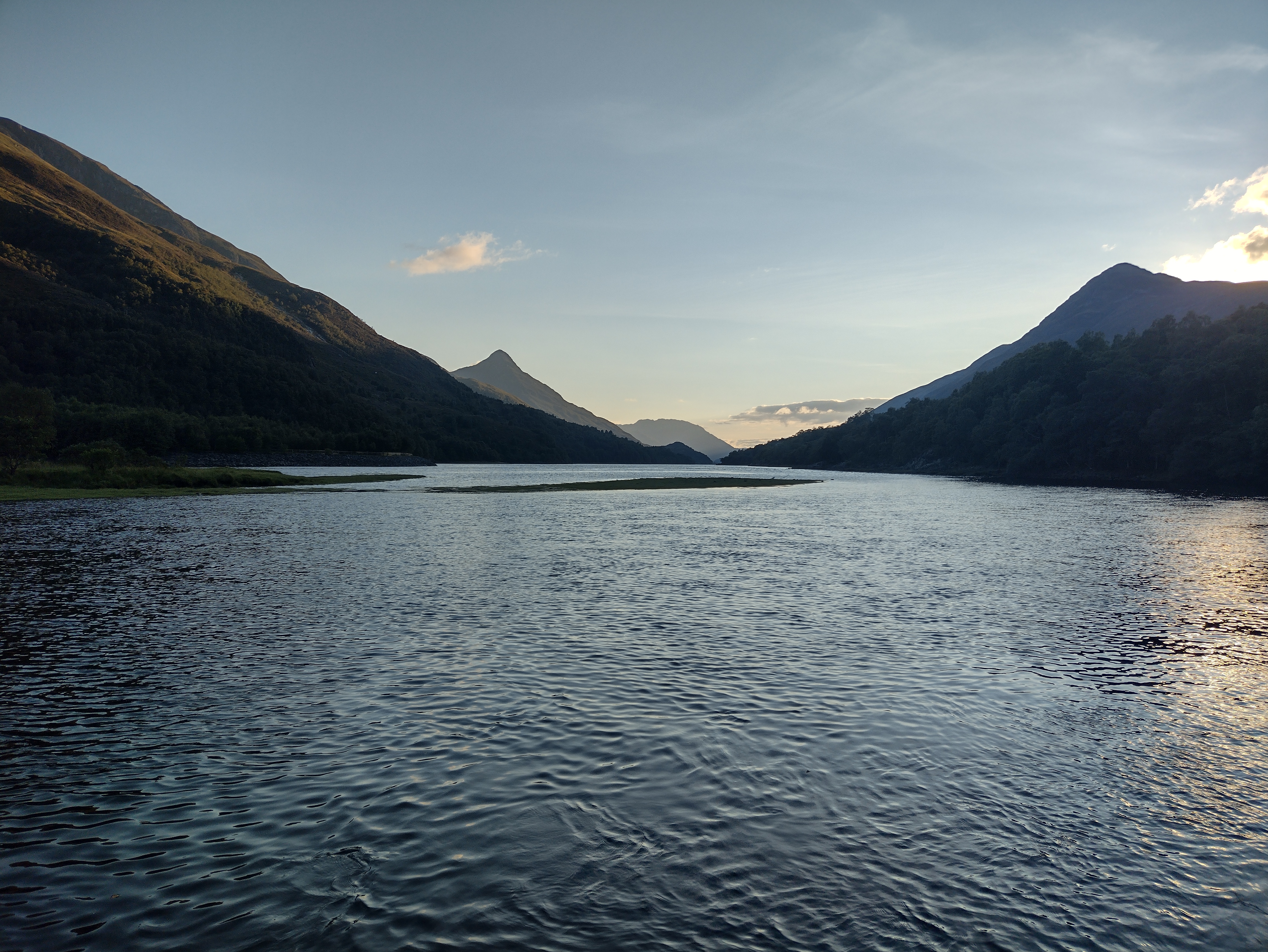 |
| IMG_20250821_124243595_HDR.jpg | Allt na Lairige Moire | 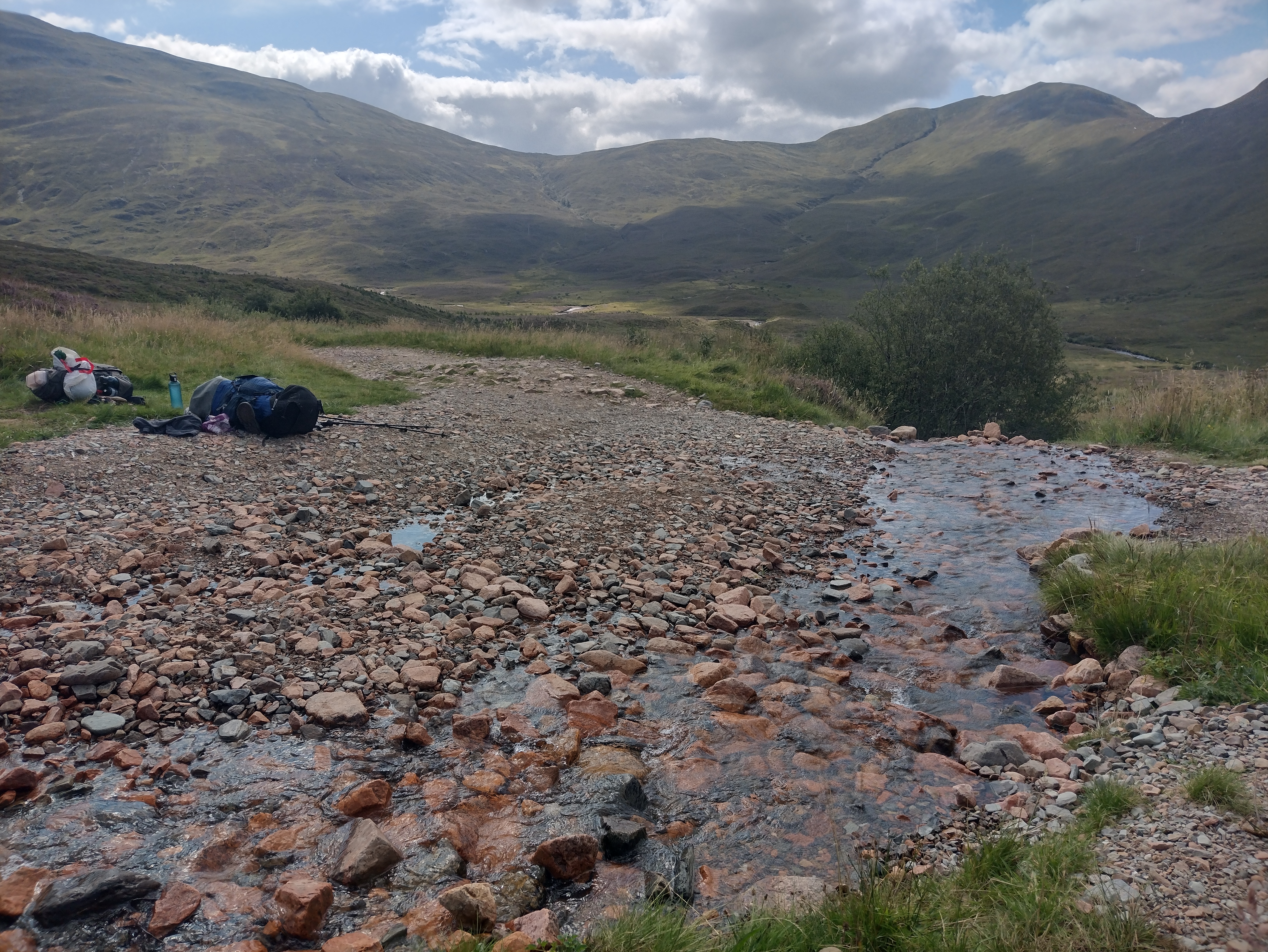 |
| IMG_20250821_135631.JPG | Lochan Lunn Da-Bhra |  |
| IMG_20250821_142504133_HDR.jpg | Ben Nevis view | 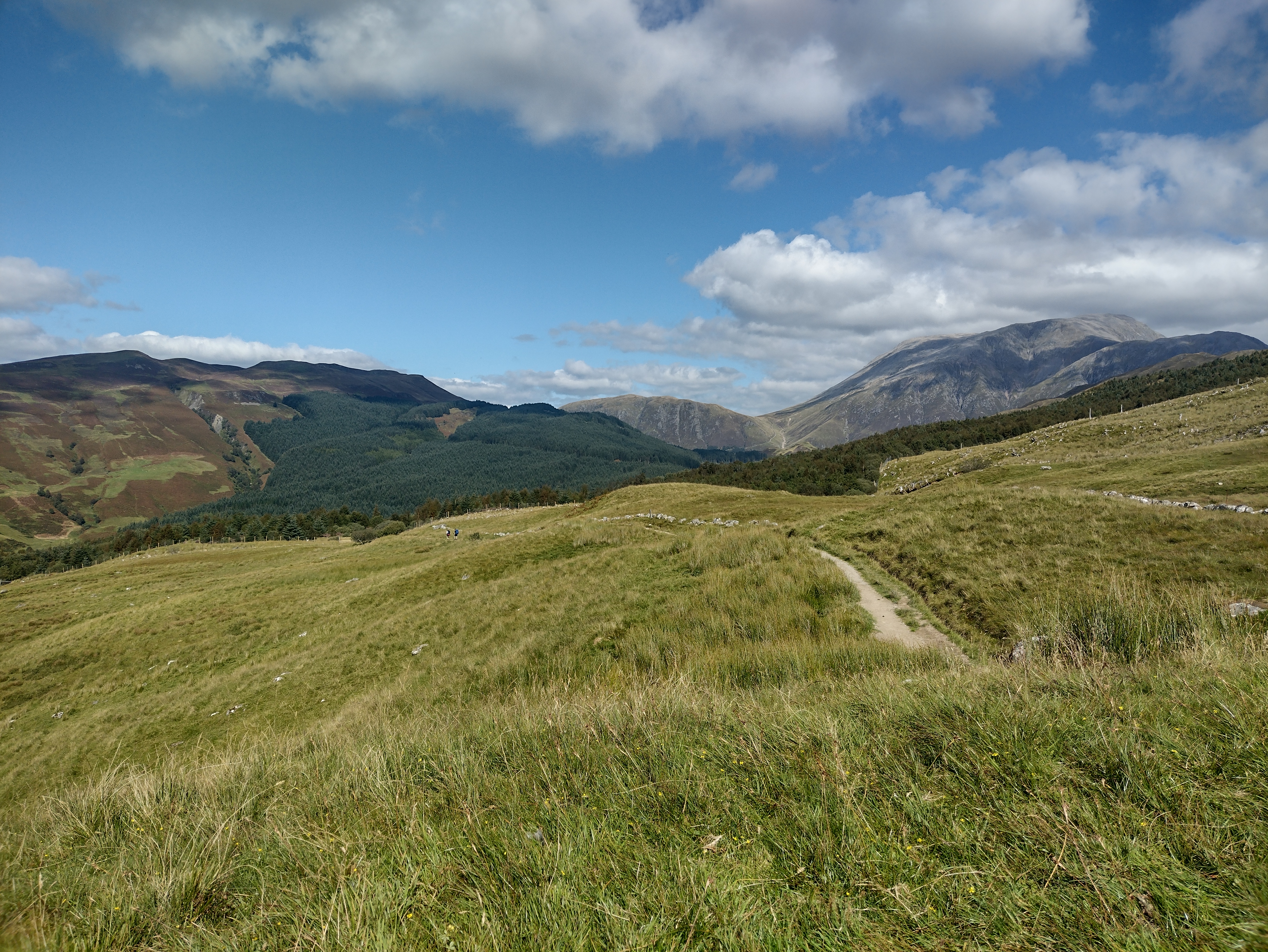 |
| IMG_20250821_171040.JPG | Glen Nevis | 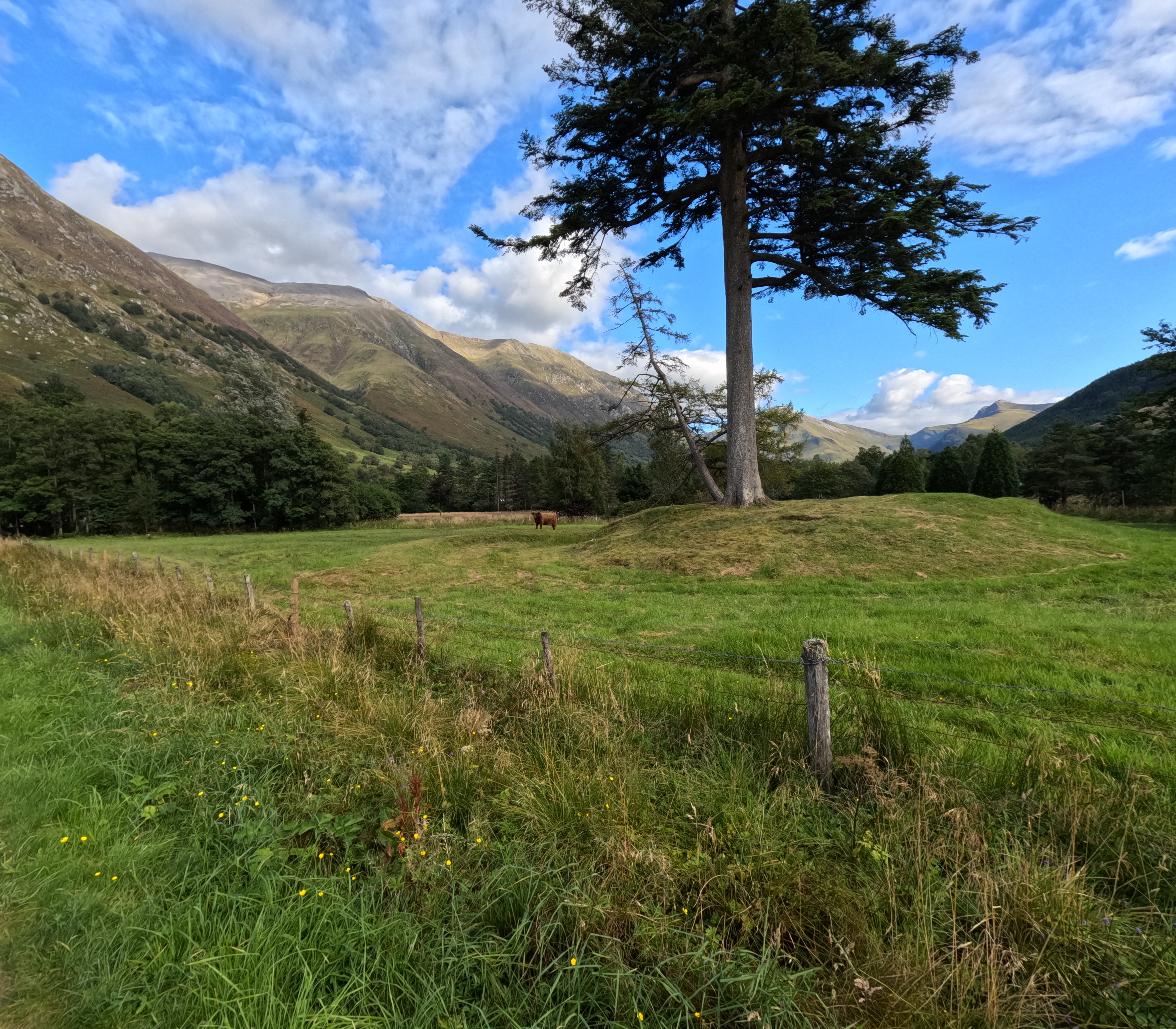 |
| IMG_20250822_113421.JPG | View of Glen Nevis,Meall an t-Suidhe and Loch Meall an t-Suidhe | 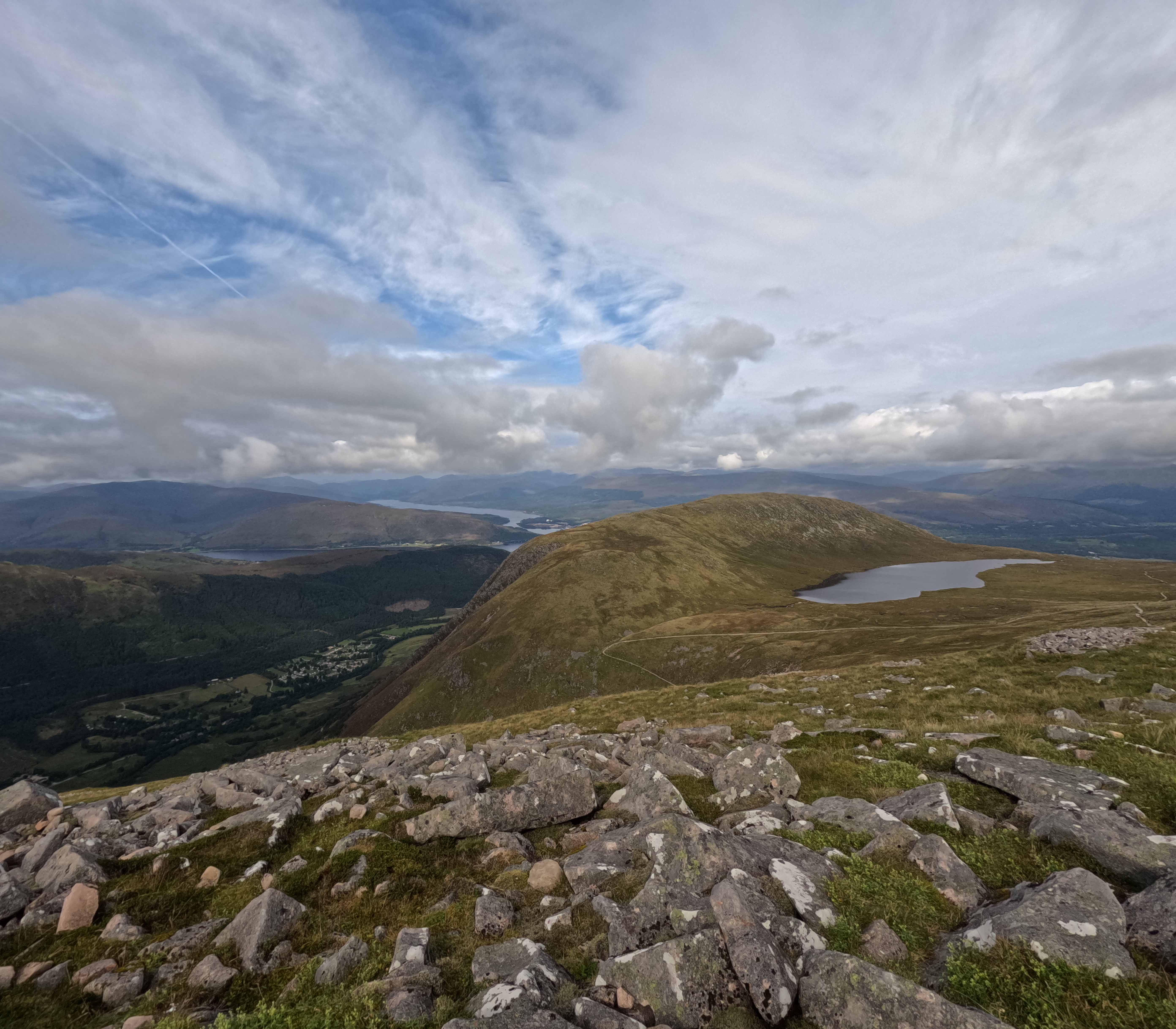 |
| IMG_20250822_131415126_HDR.jpg | Gardyloo Gully on Ben Nevis | 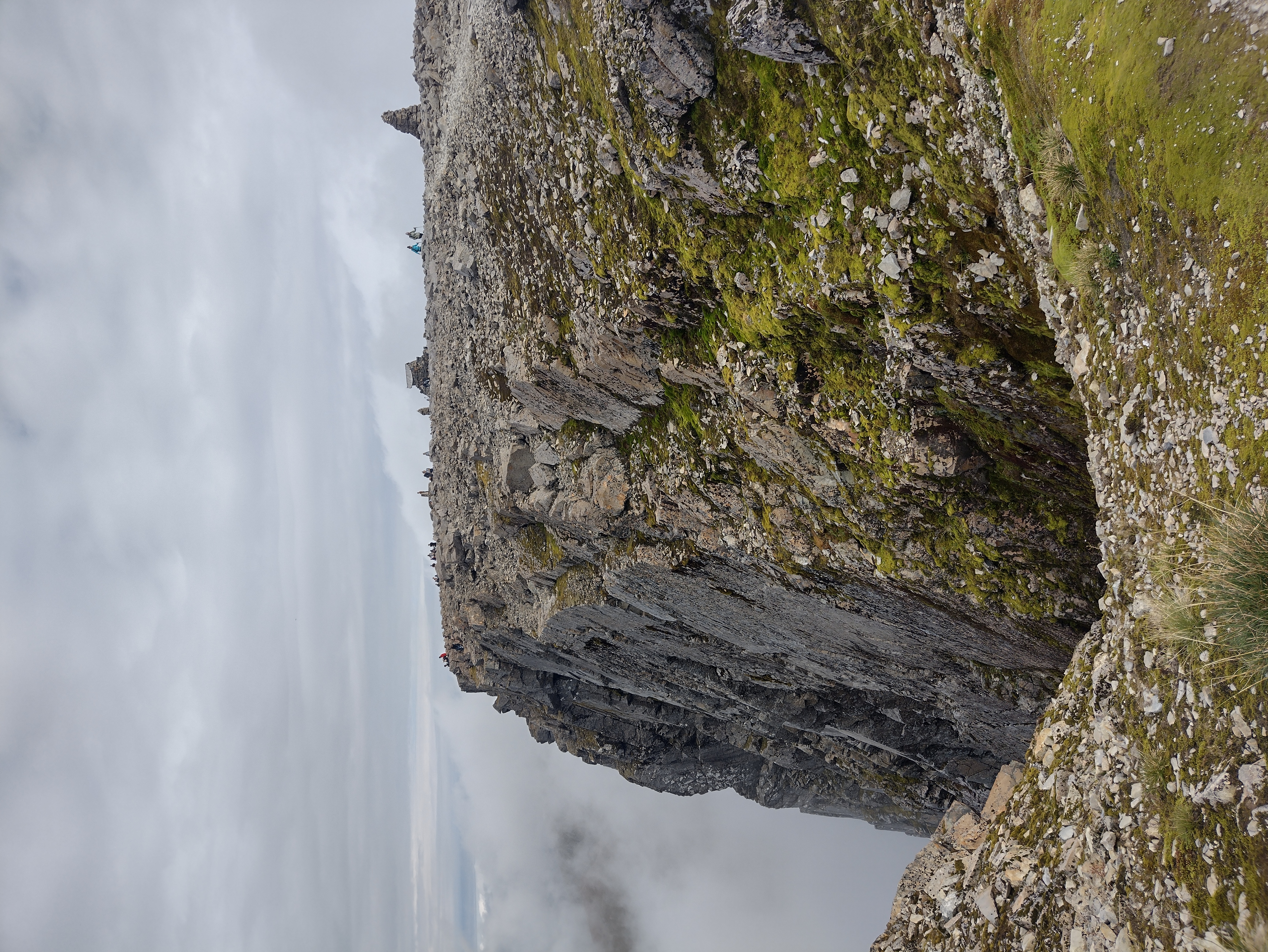 |
| IMG_20250822_134154.JPG | Allt a Mhuilinn valley | 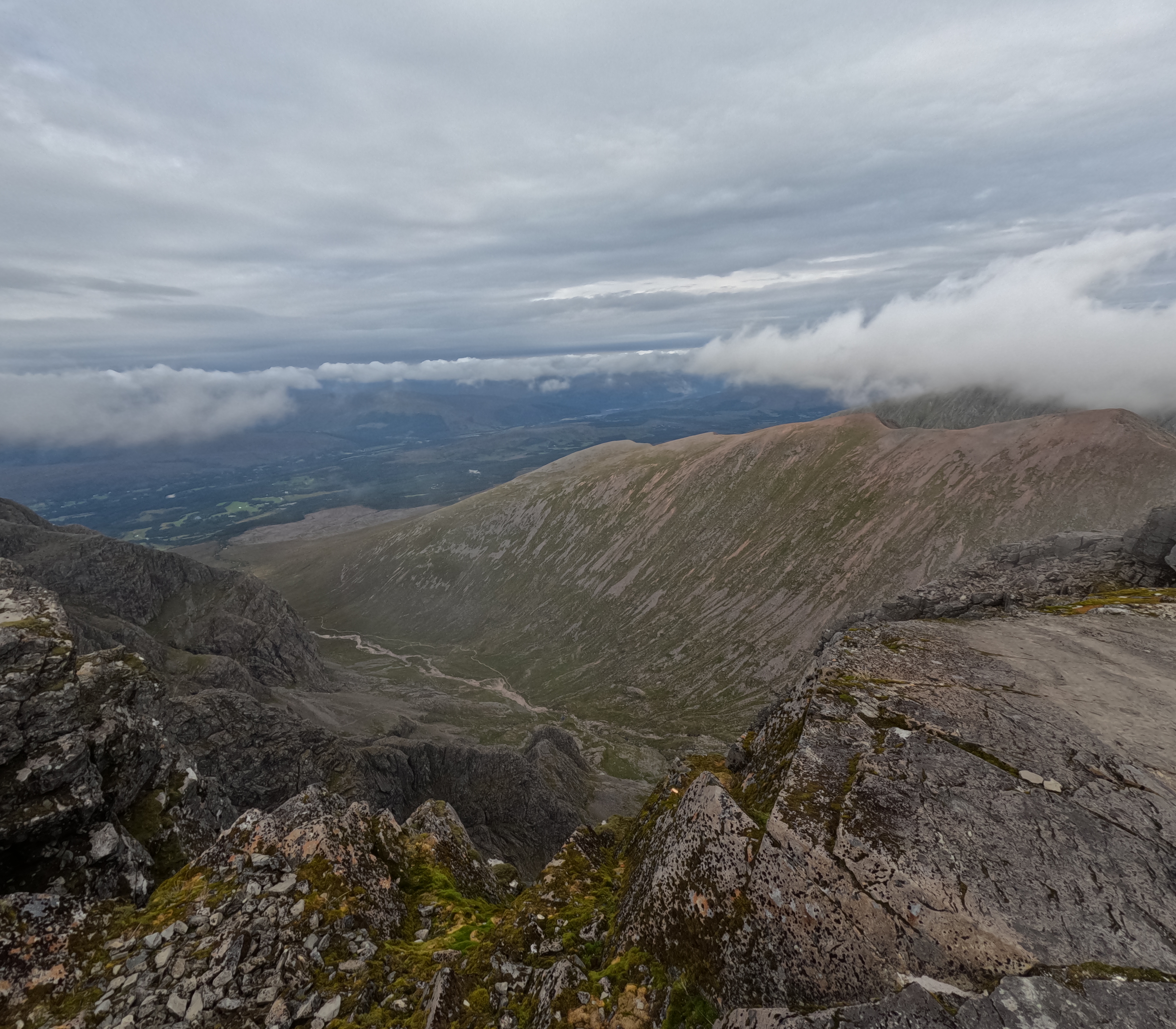 |
| IMG_20250824_173747.JPG | Talla Reservoir | 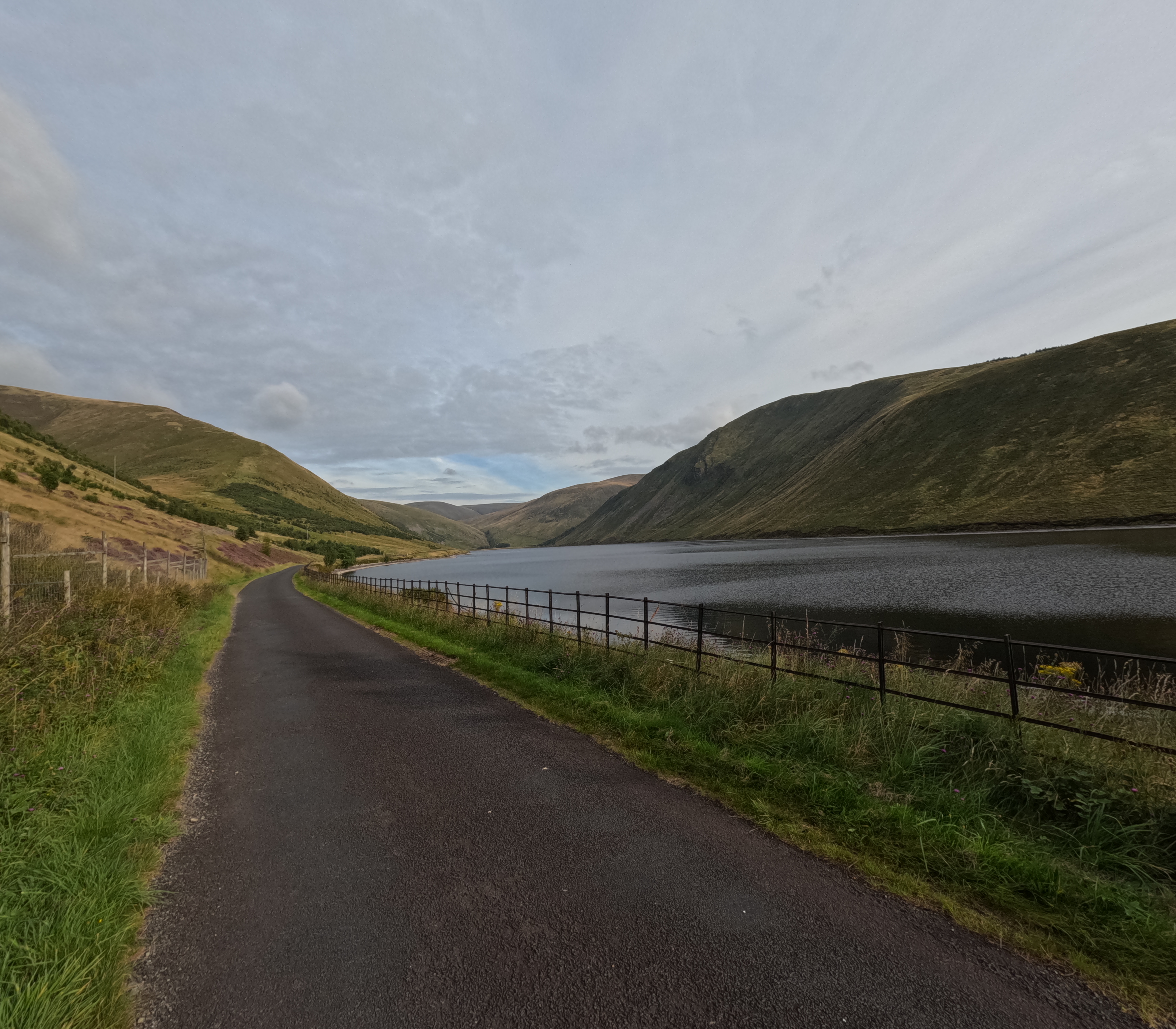 |
| IMG_20250824_185923.JPG | Megget vallay and Reservoir at sunset | 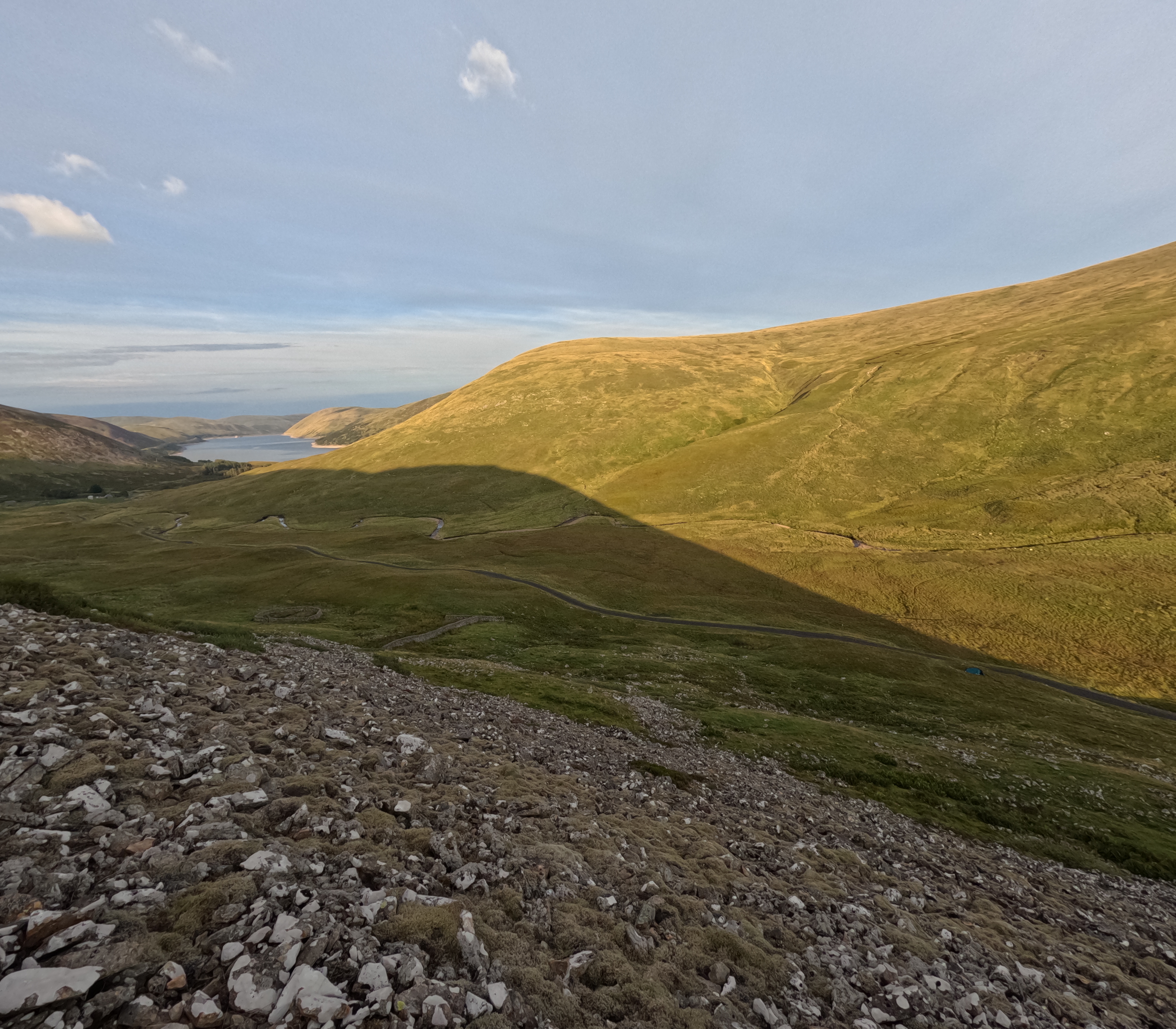 |
| IMG_20250825_085126.JPG | Megget Reservoir Dam | 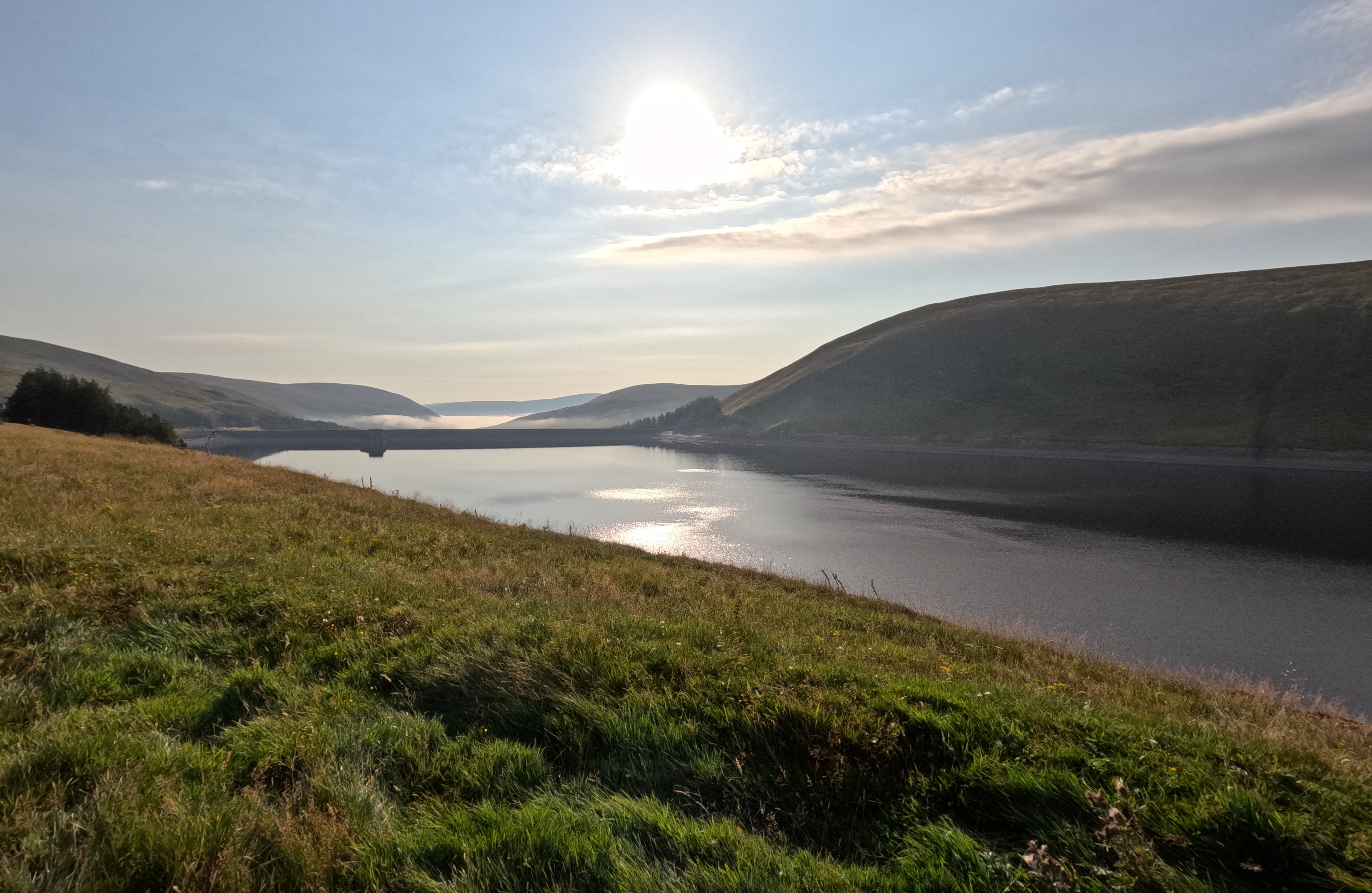 |
| IMG_20250825_100825.JPG | Scotish hills |  |
| IMG_20250825_100900.JPG | Typical Scotland with a bicycle | 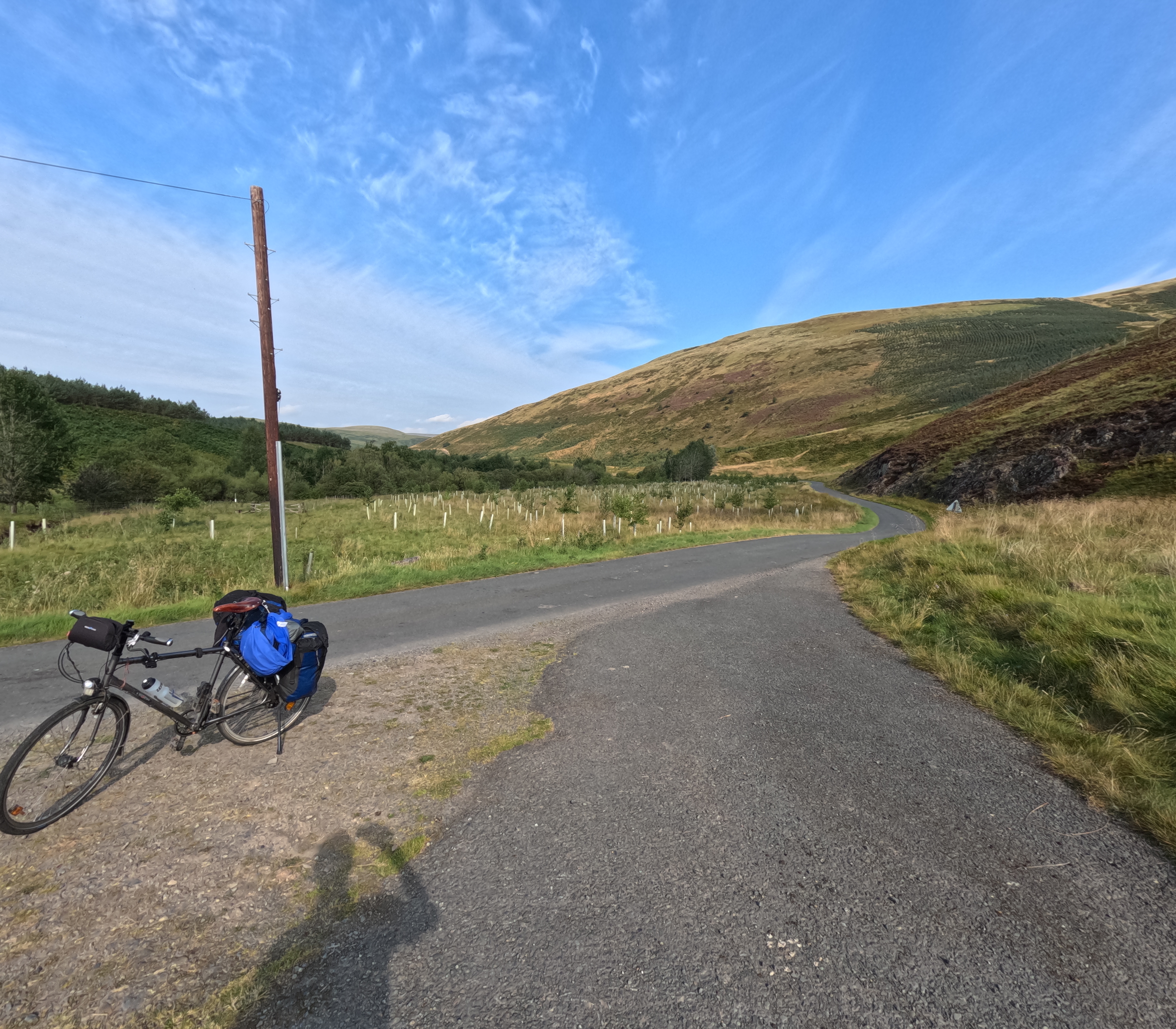 |
| IMG_20250825_103037123_HDR.jpg | Farm in the scotish hills | 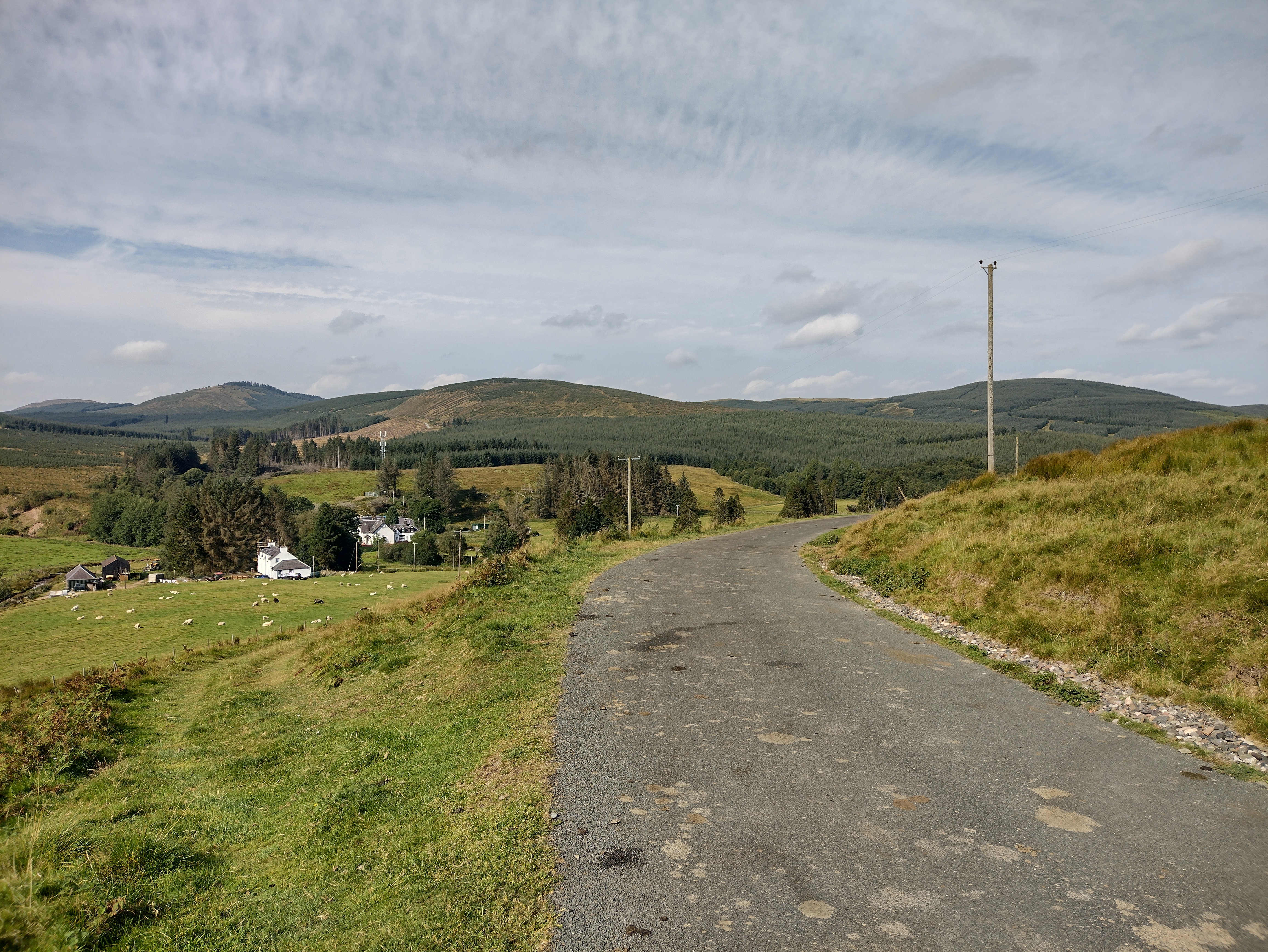 |
| IMG_20250825_105414.JPG | Alemoor Reservoir | 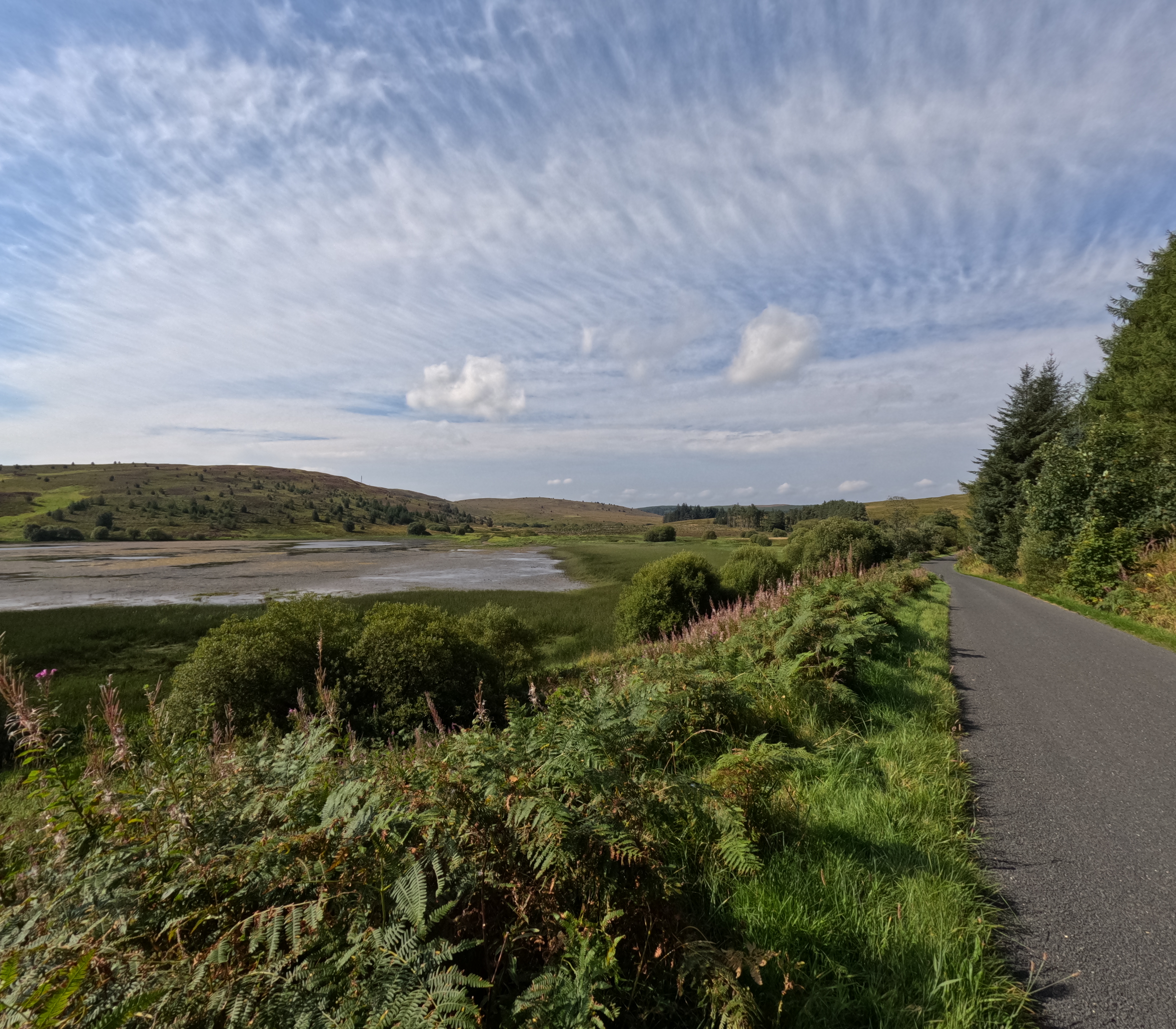 |
| IMG_20250825_131537.JPG | Shankend Viaduct | 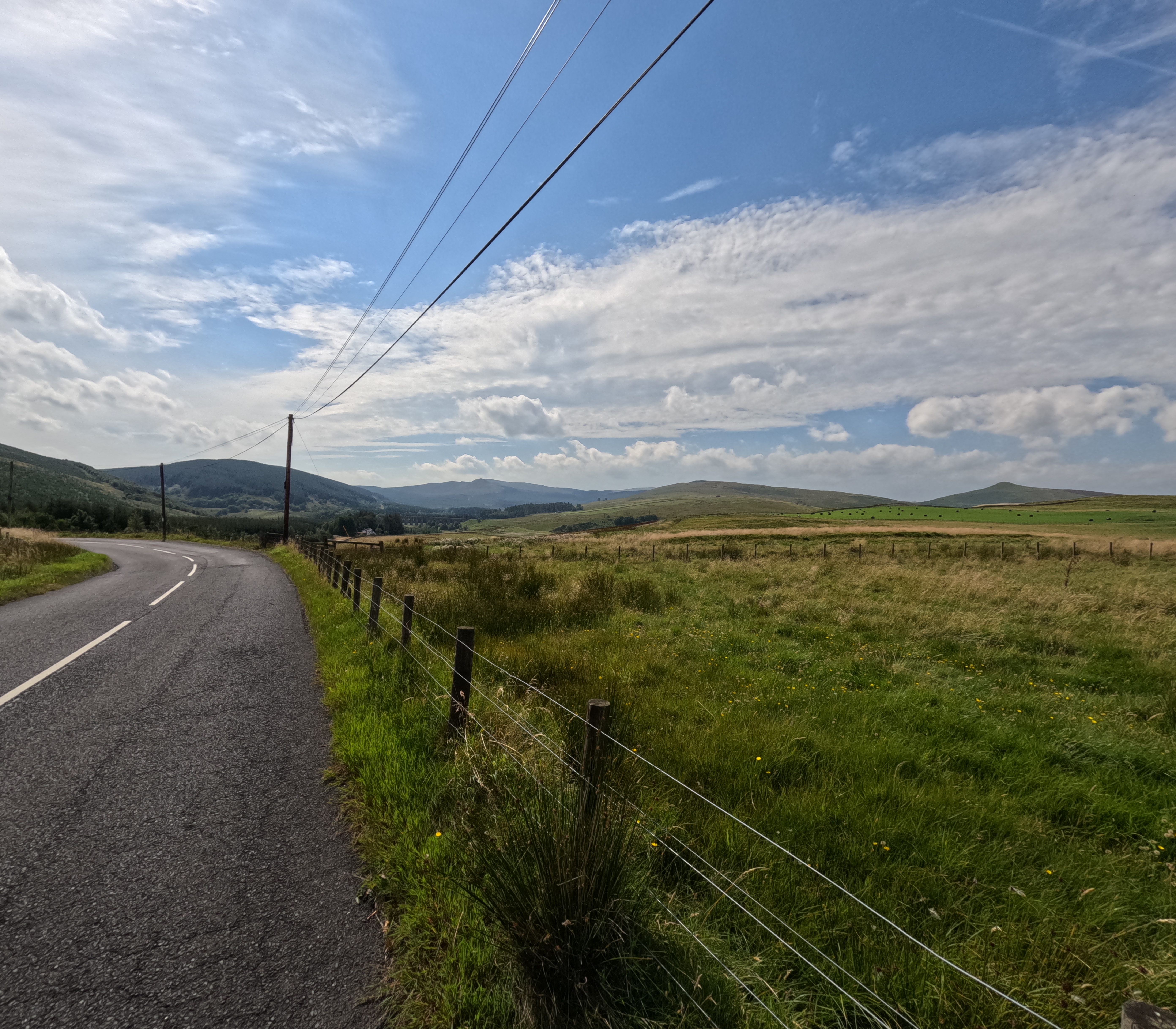 |
| IMG_20250826_093628.JPG | Lambley Viaduct | 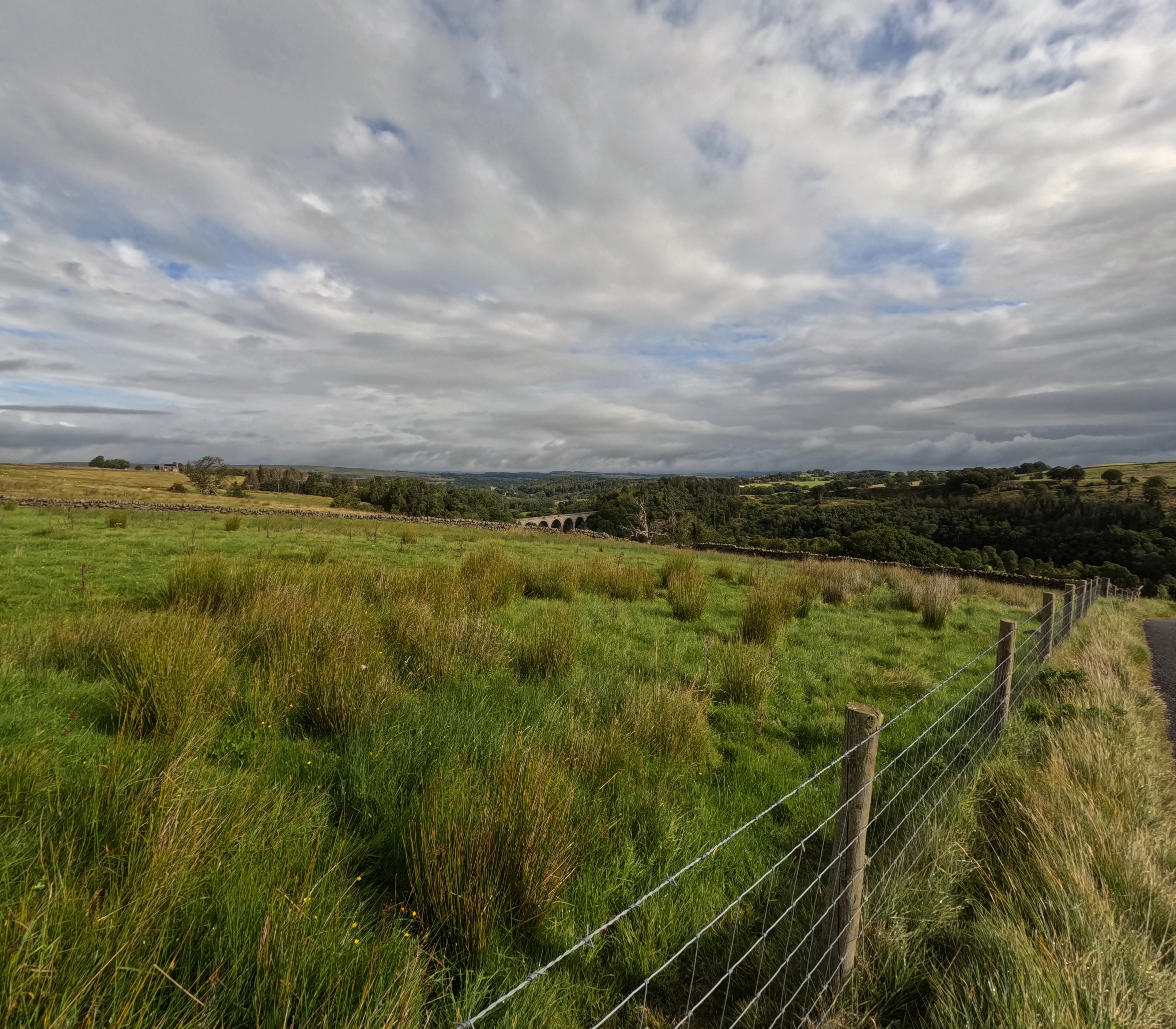 |
| IMG_20250826_131304.JPG | Towards the pass over the North Pennines | 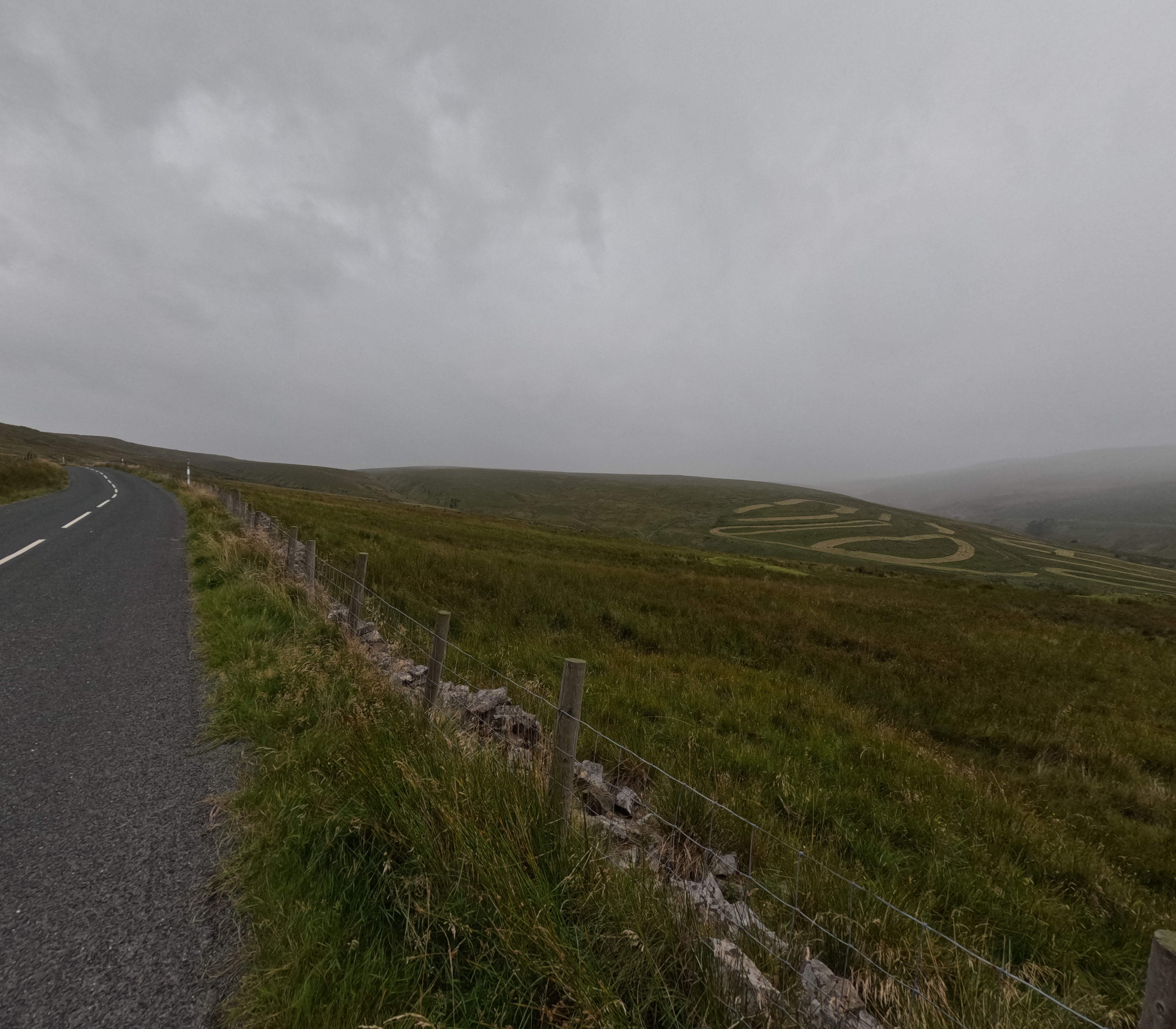 |
| IMG_20250826_133942.JPG | North Pennines | 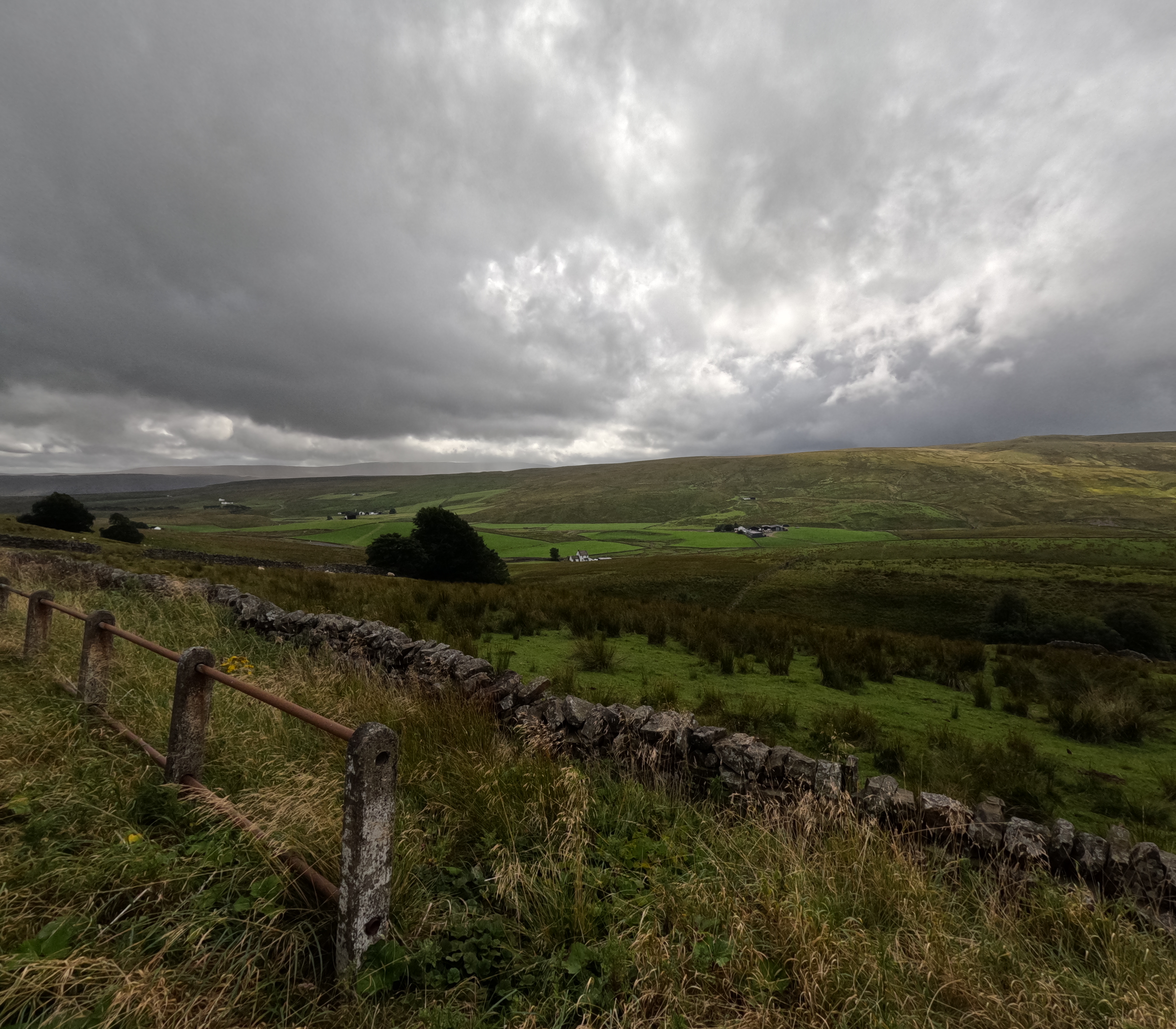 |